| Korra | |
|---|---|
| Village | |
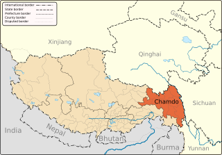
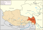
| Country | China |
| Autonomous region | Tibet |
| Prefecture | Chamdo |
| County | Zhag'yab |
Korra is a village in Zhag'yab County, of the Chamdo Prefecture in the northeastern Tibet Autonomous Region of China. Korra in Tibetan refers to the act of Circumambulation. [1]

Zhag'yab County, also spelled Chagyab, is a county of the Chamdo Prefecture in the Tibet Autonomous Region, China. One of the villages in the county is Korra.

The Tibet Autonomous Region (TAR) or Xizang Autonomous Region, called Tibet or Xizang for short, is a province-level autonomous region in southwest China. It was formally established in 1965 to replace the Tibet Area, an administrative division the People's Republic of China (PRC) took over from the Republic of China (ROC) about five years after the dismissal of the Kashag by the PRC following the 1959 Tibetan uprising, and about 13 years after Tibet's incorporation into the PRC in 1951.
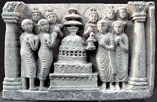
Circumambulation is the act of moving around a sacred object or idol.