
De Marne is a former municipality in the northeast of the Netherlands. On 1 January 2019 it merged with the municipalities of Bedum, Eemsmond and Winsum to form the new municipality Het Hogeland.

Hellendoorn is a municipality and town in the middle of the Dutch province of Overijssel. As of 2019, the municipality had a population of 35,808.

Lingewaard is a municipality in the eastern Netherlands. It is located in the province of Gelderland, in the most eastern part of the Betuwe. The municipality is situated in the lowlands between the major cities of Arnhem and Nijmegen, where most inhabitants work. Lingewaard was part of the Arnhem–Nijmegen metropolitan area until 2015.

Alphen-Chaam is a municipality in the southern Netherlands.

Drimmelen is a municipality and a town in the southern Netherlands, in the province North Brabant.

Bergschenhoek is a town and former municipality in the municipality of Lansingerland, in the province of South Holland, Netherlands. It is situated roughly 10 km to the north of Rotterdam. The town had a population of 18,475 in 2019, and covered an area of 15.52 km² of which 0.63 km² is water. On 1 January 2007, the town was merged with neighbouring towns Berkel en Rodenrijs and Bleiswijk to form the new municipality Lansingerland; these three towns collectively are known locally as the "3B Hoek".

Berkel en Rodenrijs is a town and former municipality in the municipality of Lansingerland, in the province of South Holland, The Netherlands. The town is very close to Rotterdam.

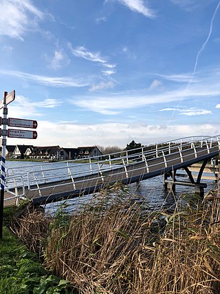
Bleiswijk is a town and former municipality in the western Netherlands, in the province of South Holland.

Zoetermeer is a city in the Western Netherlands, in the province of South Holland. The municipality covers an area of 37.05 km2 (14.31 sq mi) of which 2.60 km2 (1.00 sq mi) is water. A small village until the late 1960s, it had 6,392 inhabitants in 1950. By 2013 this had grown to 123,328, making it the third largest population centre in the province of South Holland, after Rotterdam and The Hague. While now a city in its own right, Zoetermeer started out as a suburb of The Hague and is still a part of the Greater The Hague urban area.
Bemmel is a town in the eastern Netherlands, in the province of Gelderland. It is located in the Betuwe region, and falls under the municipality of Lingewaard. The town is situated between the major cities of Arnhem and Nijmegen, and is bordered by the Waal river in the south. Bemmel has a population of 12,161.

A hamlet is a human settlement that is smaller than a town or village. Its size relative to a parish can depend on the administration and region. A hamlet may be considered to be a smaller settlement or subdivision or satellite entity to a larger settlement.

Lansingerland is a municipality in the western Netherlands, in the province of South Holland. It was formed on 1 January 2007, by the merger of the municipalities of Berkel en Rodenrijs, Bleiswijk and Bergschenhoek, collectively known as the "B-Triangle". The former municipality of Tempel, abolished in 1855, is also part of Lansingerland.
Tempel, also known as De Tempel, is a former municipality and former manorial estate in the Dutch province of South Holland. It was located about 3 km southwest of the center of the current village of Berkel en Rodenrijs.

Zevenhuizen is a village in the Dutch province of South Holland. It is located about 12 km northeast of the city of Rotterdam.

In the Netherlands, the municipal council is the elected assembly of the municipality. Its main role is laying down the guidelines for the policy of the municipal executive and exercising control over its execution by the mayor and aldermen.

Lansingerland-Zoetermeer railway station is a railway station on the borders of Bleiswijk and Zoetermeer, Netherlands. It was previously known under its conceptual name BleiZo. The train services are operated by Nederlandse Spoorwegen.

Het Hogeland is a municipality in the north of the province of Groningen in the northeast of the Netherlands.
TOGB is a football club from Berkel en Rodenrijs, Netherlands. The club was founded in 1928. Its first squad plays in the Derde Divisie since 2022.
Rotte is a vicinity in the municipality of Lansingerland, in the province of South Holland, Netherlands. It used to be part of the former municipality of Bergschenhoek and is located opposite Rotterdam Ommoord.

