Kuala Tatau | |
|---|---|
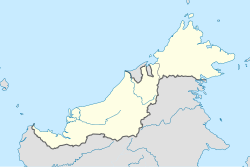 Kuala Tatau Location in East Malaysia  Kuala Tatau Location in Malaysia | |
| Coordinates: 3°04′43″N112°48′15″E / 3.078712°N 112.804301°E | |
| Country | Malaysia |
| State | Sarawak |
| Division | Bintulu |
| District | Tatau |
Kuala Tatau is a village in Tatau District, Bintulu Division in the Malaysian state of Sarawak. It is located at the mouth of Tatau River with the South China Sea, about 30 kilometres (19 miles) downstream to the north of the district town Tatau, as well as about 50 kilometres (31 miles) south-west of the city Bintulu. [1] [2] [3]