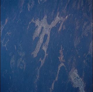
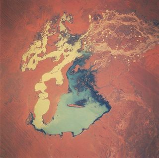
Lake Barlee is an intermittent salt lake and with an area of 1,980 square kilometres (764 sq mi) is the second largest lake in Western Australia.

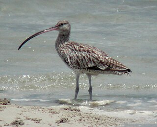
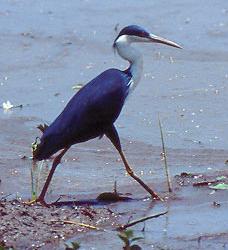
Roebuck Bay is a bay on the coast of the Kimberley region of Western Australia. Its entrance is bounded in the north by the town of Broome, and in the south by Bush Point and Sandy Point. It is named after HMS Roebuck, the ship captained by William Dampier when he explored the coast of north-western Australia in 1699. The Broome Bird Observatory lies on the northern coast of the bay.
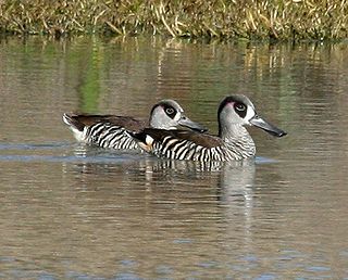
Lake Gregory, or Paraku in the Walmajarri language, is a permanent brackish lake located in the Kimberley region of Western Australia, situated between the Great Sandy Desert and the Tanami Desert. Following monsoonal rains it may hold fresh water, but becomes more saline after a number of dry years.

Tarrabool Lake is a lake located in the Northern Territory of Australia in the locality of Creswell on the western fringe of the Barkly Tableland. The size of the lake fluctuates as a function of the amount of precipitation that the surrounding area receives in any given year. Although the lake is fed by several creeks, it receives most of its runoff from Creswell Creek, which enters the northeast end of the lake.

The Victoria River is a river in the Victoria Bonaparte bioregion of the Northern Territory, Australia.

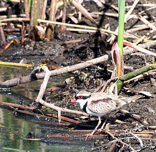
Mandora Marsh, also known as Mandora Salt Marsh, is a complex and diverse wetland system in Western Australia close to Eighty Mile Beach, and included in the Eighty Mile Beach Ramsar Site. It lies at the western edge of the Great Sandy Desert bioregion and within the Mandora Station pastoral lease. The marsh is part of the 3337 km2 Mandora Marsh and Anna Plains Important Bird Area, identified as such by BirdLife International because of its importance for supporting large numbers of waders and waterbirds.
Buckingham Bay is a large, rectangular bay on the northern coast of Arnhem Land, in the Northern Territory of Australia. It lies 520 km east of Darwin and 120 km west of Nhulunbuy.

The Goyder Lagoon is a large ephemeral swamp in the Australian state of South Australia in the state's Far North region. The lake is part of the Diamantina River floodplain, lying beside the Birdsville Track close to the state border with Queensland.

The Keep River Important Bird Area is a 983 square kilometres (380 sq mi) tract of land on the upper Keep River straddling the border between Western Australia and the Northern Territory. It lies at an altitude of 150 m (490 ft) to 210 m (690 ft) and is about 400 km (250 mi) south-west of Darwin and 40 km (25 mi) east of Kununurra.
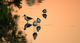
The Lake Machattie Area is a 909 km2 tract of land comprising Lakes Machattie, Mipia and Koolivoo, with the surrounding Georgina River and Eyre Creek floodplains, in the arid Channel Country of western Queensland, Australia. The area is important as a breeding site for waterbirds.

The Lake Sylvester System comprises a system of ephemeral lakes on the Barkly Tableland of the Northern Territory of Australia about 180 km north-east of Tennant Creek.

The Lakes Muncoonie, Mumbleberry and Torquinie Important Bird Area is a 2013 km2 tract of land in the Channel Country of western Queensland, Australia.
The Legune Important Bird Area comprises a low-lying, swampy, floodplain peninsula at the south-eastern end of the Joseph Bonaparte Gulf in the Top End of the Northern Territory of Australia. The land is part of the Legune Station, a cattle station and pastoral lease.

Limmen Bight is a bight, or large, open bay, located in the Northern Territory of Australia at the western end of the Gulf of Carpentaria about 360 kilometres (220 mi) east of the town of Katherine. It is part of the traditional lands and waters of the Marra people. It was named in April 1644 by Abel Tasman for one of his ships on his voyage of exploration along the northern Australian coast. It contains the second largest area of tidal flats in the Northern Territory.
The Narran Wetlands, also known as the Narran Lakes, contained within the Narran Lakes Nature Reserve, comprise a series of protected ephemeral lakes and swamps fed by the Narran River in the north-west of New South Wales, Australia. The 26,480-hectare (65,400-acre) reserve is located approximately 50 kilometres (31 mi) east of Brewarrina.

The Port McArthur Tidal Wetlands System comprises a 994 km2 tract of tidal wetlands on the south-west coast of the Gulf of Carpentaria in the Northern Territory of Australia. The land extends along the coast opposite the Sir Edward Pellew Group of Islands, incorporating the estuaries of the McArthur and Wearyan Rivers. It is an important site for waders, or shorebirds.

The Strzelecki Desert Lakes Important Bird Area is an Important Bird Area (IBA) in the Australian state of South Australia which consists of a series of ephemeral waterbodies in the arid Strzelecki Desert in the state's Far North region. It is considered to be important for waterbirds when its constituent lakes hold water in the aftermath of floods.

The Tarrabool Lake – Eva Downs Swamp System is an ephemeral wetland complex lying on the west of the Barkly Tableland region in the Northern Territory of Australia. It is listed on the DIWA wetland directory.
The Cooper Floodplain below Windorah comprises a 1741 km2 tract of floodplain of the Cooper Creek river system, below the town of Windorah, in the Channel Country of western Queensland, Australia. When inundated it is an important breeding site for large numbers of waterbirds.

The Gwydir Wetlands comprise a system of irregularly inundated wetlands associated with the Gwydir River in the North West Slopes region of north-eastern New South Wales, Australia. When flooded they form an important site for breeding waterbirds.

