
The Niagara River is a river that flows north from Lake Erie to Lake Ontario. It forms part of the border between the province of Ontario in Canada and the state of New York in the United States. There are differing theories as to the origin of the river's name. According to Iroquoian scholar Bruce Trigger, Niagara is derived from the name given to a branch of the locally residing native Neutral Confederacy, who are described as being called the Niagagarega people on several late-17th-century French maps of the area. According to George R. Stewart, it comes from the name of an Iroquois town called Ongniaahra, meaning "point of land cut in two".

Cambria is a town in Niagara County, New York, United States. The population was 5,839 at the 2010 census. Cambria is an early name for Wales.

Lewiston is a town in Niagara County, New York, United States. The population was 15,944 at the 2020 census. The town and its contained village are named after Morgan Lewis, a governor of New York.

The New York Central Railroad was a railroad primarily operating in the Great Lakes and Mid-Atlantic regions of the United States. The railroad primarily connected greater New York and Boston in the east with Chicago and St. Louis in the Midwest, along with the intermediate cities of Albany, Buffalo, Cleveland, Cincinnati, Detroit, and Syracuse. New York Central was headquartered in New York City's New York Central Building, adjacent to its largest station, Grand Central Terminal.
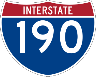
Interstate 190 is a north–south auxiliary Interstate Highway that connects I-90 in Buffalo, New York with the Canada-U.S. border near Niagara Falls. The freeway bisects downtown Buffalo before crossing Grand Island and travelling around the outskirts of Niagara Falls before crossing the Niagara River on the Queenston-Lewiston Bridge into Ontario. On the Canada side of the Canada–US border, the freeway continues as Highway 405, a short spur that connects with the Queen Elizabeth Way (QEW), which in turn provides a freeway connection to Toronto, Canada's largest city. The 28.34-mile-long (45.61 km) route also provides access to the QEW at the Peace Bridge between Buffalo and Fort Erie, Ontario.

New York State Route 104 (NY 104) is a 182.41-mile-long (293.56 km) east–west state highway in Upstate New York in the United States. It spans six counties and enters the vicinity of four cities—Niagara Falls, Lockport, Rochester, and Oswego—as it follows a routing largely parallel to the southern shoreline of Lake Ontario, along a ridge of the old shoreline of Glacial Lake Iroquois. The western terminus of NY 104 is an intersection with NY 384 in Niagara Falls, Niagara County, while its eastern terminus is a junction with NY 13 in the town of Williamstown, Oswego County. The portion of NY 104 between Rochester and the village of Webster east of the city is a limited-access highway known as the Keeler Street Expressway west of NY 590 and the Irondequoit–Wayne County Expressway east of NY 590; from Williamson to Oswego, NY 104 is a super two highway.
The Buffalo and Niagara Falls Railroad was a part of the New York Central Railroad system, connecting Buffalo, New York to Niagara Falls. It is still used by CSX for freight and Amtrak for passenger service.
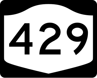
New York State Route 429 (NY 429) is a north–south state highway located entirely within Niagara County, New York, in the United States. It extends for 12.16 miles (19.57 km) from an intersection with NY 265 and NY 384 in North Tonawanda to a junction with NY 104 on the border between the towns of Cambria and Lewiston. Although it is relatively minor in length, the route is regionally important nonetheless as it connects North Tonawanda to some of the county's interior regions. About midway between North Tonawanda and Ridge Road, NY 429 serves the hamlet of Sanborn, where it briefly overlaps with NY 31. At Pekin, a community situated between Sanborn and NY 104, NY 429 descends the Niagara Escarpment.

New York State Route 31 (NY 31) is a state highway that extends for 208.74 miles (335.93 km) across western and central New York in the United States. The western terminus of the route is at an intersection with NY 104 in the city of Niagara Falls. Its eastern terminus is at a traffic circle with NY 26 in Vernon Center, a hamlet within the town of Vernon. Over its routing, NY 31 spans 10 counties and indirectly connects three major urban areas in Upstate New York: Buffalo–Niagara Falls, Rochester, and Syracuse. The route is one of the longest routes in New York State, paralleling two similarly lengthy routes, NY 104 to the north and NY 5 to the south, as well as the Erie Canal, as it proceeds east.

New York State Route 18 (NY 18) is an east–west state highway in western New York in the United States. It runs parallel to the south shore of Lake Ontario for most of its length between Niagara County and Monroe County. NY 18, which also passes through Orleans County, acts as a northerly alternate to NY 104, another east–west route that parallels NY 18 to the south on Ridge Road. The western terminus of NY 18 is at a complex grade-separated interchange with NY 104 outside the village of Lewiston. Its eastern terminus is at a junction with NY 104 in an area of Rochester known as Eastman Business Park.
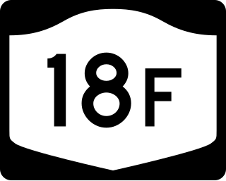
New York State Route 18F (NY 18F) is a 9.80-mile (15.77 km) long state highway in northwestern Niagara County, New York, in the United States. The southern terminus of the route is at an interchange with NY 104 and the Niagara Scenic Parkway just east of the village of Lewiston. The northern terminus is at an intersection with NY 18 near Four Mile Creek State Park in Porter. NY 18F parallels NY 18 for most of its alignment, taking a more westerly course than its parent. NY 18F is the only remaining suffixed route of NY 18.
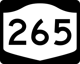
New York State Route 265 (NY 265) is a 19.75-mile (31.78 km) long state highway located in the western part of New York in the United States. NY 265 is a north–south route that roughly parallels the western parts of the Niagara River in Erie County and Niagara County. For much of its southern course, it is more frequently referred to by its longtime name, Military Road, which dates back to 1801 as a road to connect the city of Black Rock and Fort Niagara near Lake Ontario.

New York State Route 182 (NY 182) is a 6.18-mile (9.95 km) state highway in Niagara County, New York, in the United States. It serves as a signed connection between the Whirlpool Rapids Bridge over the Niagara River and the Niagara Falls International Airport east of the city of Niagara Falls. From the bridge, NY 182 runs across the city of Niagara Falls, following several local streets as it makes its way to an intersection with U.S. Route 62 (US 62) in Wheatfield. The route was originally designated as New York State Route 18D in the early 1930s. It gained its current designation on January 1, 1962.
The Elmira and Lake Ontario Railroad was a subsidiary of the Northern Central Railway and later the Pennsylvania Railroad, formed to give the Northern Central an outlet for coal traffic on Lake Ontario.
Ridge Road is a 121.5-mile (195.5 km) east–west road that traverses four counties in Upstate New York in the United States. The road begins adjacent to the Niagara River at an intersection with Water Street in the village of Lewiston, Niagara County, and passes through several towns, villages, and the city of Rochester before arriving at its eastern terminus at a junction with New York State Route 370 (NY 370) southwest of Red Creek, Wayne County. It is named for the rise atop which the road was built, a mound of sand and gravel that was formed when it was the shoreline of ancient Glacial Lake Iroquois. The ridge is often confused with the nearby Niagara Escarpment, which is much taller, geologic in origin, and lies a few miles to the south.

The International Railway Company (IRC) was a transportation company formed in a 1902 merger between several Buffalo-area interurban and street railways. The city railways that merged were the West Side Street Railway, the Crosstown Street Railway and the Buffalo Traction Company. The suburban railroads that merged included the Buffalo & Niagara Electric Street Railway, and its subsidiary the Buffalo, Lockport & Olcott Beach Railway; the Buffalo, Depew & Lancaster Railway; and the Niagara Falls Park & River Railway. Later the IRC acquired the Niagara Gorge Railroad (NGRR) as a subsidiary, which was sold in 1924 to the Niagara Falls Power Company. The NGRR also leased the Lewiston & Youngstown Frontier Railroad.

The Niagara Falls Station and Customhouse Interpretive Center is an intermodal transit complex in Niagara Falls, New York. It serves Amtrak trains and Niagara Frontier Transportation Authority buses, houses U.S. Customs and Border Protection offices servicing the Canada–United States border, and houses the Niagara Falls Underground Railroad Heritage Center.
The Rochester, Lockport and Buffalo Railroad was an electric interurban railway that was constructed between Rochester, New York, and Lockport, New York, connecting to the International Railway Co. at Lockport for service into Buffalo. Opened in 1909 as the Buffalo, Lockport and Rochester Railway, the route followed the Erie Canal and the New York Central Railroad's Falls Road branch for most of its length. For a brief period of time, the railway was part of the Beebe Syndicate of affiliated interurban railways stretching from Syracuse to Buffalo. Entering receivership in 1917, it was reorganized as the Rochester, Lockport and Buffalo Railroad in 1919. After years of struggling with declining revenue during the Depression years, the railway's last day of service was April 30, 1931.

William Caryl Ely was an American lawyer and politician from New York.
