Alden is a town in Erie County, New York, United States. The population was 10,865 at the 2010 census. The town is derived from a family name known to early settlers.

New York State Route 5 (NY 5) is a state highway that extends for 370.80 miles (596.74 km) across the state of New York in the United States. It begins at the Pennsylvania state line in the Chautauqua County town of Ripley and passes through Buffalo, Syracuse, Utica, Schenectady, and several other smaller cities and communities on its way to downtown Albany in Albany County, where it terminates at U.S. Route 9 (US 9), here routed along the service roads for Interstate 787 (I-787). Prior to the construction of the New York State Thruway, it was one of two main east–west highways traversing upstate New York, the other being US 20. West of New York, the road continues as Pennsylvania Route 5 (PA 5) to Erie.

New York State Route 33 (NY 33) is an east–west state highway in western New York in the United States. The route extends for just under 70 miles (113 km) from NY 5 in Buffalo in the west to NY 31 in Rochester in the east. It is, in fact, the only state highway that directly connects both cities, although it is rarely used today for that purpose. The westernmost 10 miles (16 km) of NY 33 in Buffalo and the neighboring town of Cheektowaga have been upgraded into the Kensington Expressway. This section of NY 33 is one of several freeways leading out of downtown and serves as a main route to the Buffalo Niagara International Airport.
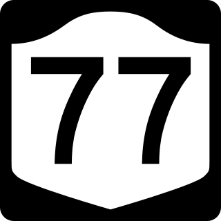
New York State Route 77 (NY 77) is a north–south state highway in the western part of New York in the United States. The highway runs for 46.28 miles (74.48 km) across mostly rural areas from an intersection with NY 78 and NY 98 in the Wyoming County town of Java to a junction with NY 31 near the city of Lockport in Niagara County. It connects to several of the region's major east–west roads, including U.S. Route 20 (US 20) and the New York State Thruway. In southwestern Genesee County, the route takes on added importance as it provides the most direct route between the Thruway and Darien Lake, Western New York's largest amusement park.

New York State Route 98 (NY 98) is a state highway in the western part of New York in the United States. The southern terminus of the route is at an intersection with U.S. Route 219 (US 219) in the town of Great Valley in Cattaraugus County. The northern end is at an interchange with the Lake Ontario State Parkway in the town of Carlton in Orleans County, near the southern shore of Lake Ontario. In between, NY 98 serves the city of Batavia, connects to the New York State Thruway, and passes by the Attica Correctional Facility. Most of the route passes through rural, undeveloped areas; however, in southern Genesee County, it traverses more urbanized areas that lie in and around Batavia.

New York State Route 262 (NY 262) is an east–west state highway in Genesee County, New York, in the United States. It extends for 17.03 miles (27.41 km) across mostly rural areas dominated by cultivated fields, connecting NY 63 in the village of Oakfield to NY 19 in the village of Bergen. In between, the two-lane NY 262 serves the village of Elba and the hamlet of Byron, where it meets NY 98 and NY 237. NY 262 is situated several miles north of the New York State Thruway and follows a routing parallel to that of the Thruway. The route was assigned as part of the 1930 renumbering of state highways in New York to a more northerly routing between Elba and Byron, but gradually moved onto its current Oakfield–Bergen alignment through a series of changes in the following decades.
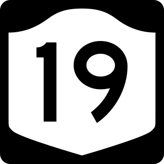
New York State Route 19 (NY 19) is a north–south state highway in Western New York in the United States. It is the longest state highway in that region, and the only other one besides NY 14 to completely transect the state from the Pennsylvania state line to the shore of Lake Ontario. It continues south into Pennsylvania as Pennsylvania Route 449 (PA 449) and ends at an intersection with the Lake Ontario State Parkway just south of the lakeshore in Hamlin. NY 19 does not serve any major cities or metropolitan areas and remains a two-lane rural road for almost its entire length. However, it follows the Genesee River for much of its lower length, and offers easy access to the gorges of Letchworth State Park midway along its route.

New York State Route 19A (NY 19A) is a north–south state highway in western New York in the United States. It is an alternate route of NY 19 between the town of Hume and the vicinity of the village of Silver Springs. NY 19A also serves the community of Portageville and the village of Castile. The portion of NY 19A south of Portageville closely follows the Genesee River. North of Portageville, the route parallels the Southern Tier Line. NY 19A was assigned as part of the 1930 renumbering of state highways in New York.

New York State Route 33A (NY 33A) is an east–west state highway mostly located in Monroe County, New York, in the United States. The route is just over 17 miles (27 km) long and serves as an alternate route of NY 33 between the town of Bergen in Genesee County and the city of Rochester in Monroe County. While NY 33 heads to Rochester by way of Churchville and northern Gates, NY 33A dips south to pass through Chili and southern Gates. NY 33A was assigned as part of the 1930 renumbering of state highways in New York, but only from Riga to Rochester. It was extended westward to its current terminus in Bergen c. 1932.

New York State Route 408 (NY 408) is a 15.95-mile-long (25.67 km) state highway located entirely within Livingston County, New York, in the United States. It runs north–south from an intersection with NY 70 near the hamlet of Dalton in the town of Nunda to a junction with NY 63 in the town of Groveland near NY 408's exit with Interstate 390 (I-390). Most of NY 408 is a two-lane rural highway that passes through lightly developed areas; however, the last two miles (3 km) of the highway, where it runs in a due east–west direction, are heavily trafficked as NY 408 becomes a key connector road in both directions.

New York State Route 383 (NY 383) is an 18.70-mile (30.09 km) north–south state highway in Monroe County, New York, in the United States. The southern terminus of the route is at an intersection with NY 36 in the hamlet of Mumford within the Town of Wheatland. Its northern terminus is at a junction with NY 31 in the city of Rochester. The route follows the Genesee River and its tributaries for its entire length and passes through the village of Scottsville.
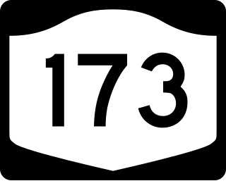
New York State Route 173 (NY 173) is a state highway located in the Syracuse area of central New York in the United States. It takes a slightly bow-shaped route from NY 31 in the town of Van Buren to NY 5 in Chittenango, gently curving to the south of Downtown Syracuse in the center of its 30.59-mile (49.23 km) routing. Even so, NY 173 briefly enters the Syracuse city limits near where it intersects U.S. Route 11 (US 11). NY 173 passes through several suburbs of Syracuse, including Camillus, where it first meets NY 5, and Manlius, where it has a short overlap with NY 92.
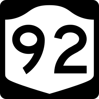
New York State Route 92 (NY 92) is a state highway located in central New York in the United States. The western terminus of the route is at an intersection with U.S. Route 11 in downtown Syracuse. Its eastern terminus is at a junction with US 20 west of the village of Cazenovia. NY 92 is known as East Genesee Street through Syracuse and DeWitt; from DeWitt to Cazenovia, its name varies by location. It heads generally eastward through Syracuse to DeWitt, where it crosses Interstate 481 (I-481) while concurrent with NY 5. At the east end of the overlap, it splits off follows a more southeasterly routing through the village of Manlius to Cazenovia.

New York State Route 175 is an east–west state highway located entirely within Onondaga County, New York, in the United States. The 15.46-mile (24.88 km) route begins at an intersection with U.S. Route 20 (US 20) east of the village of Skaneateles and passes through the village of Marcellus before ending at a junction with US 11 in Syracuse. The highway was designated in the 1930 renumbering of state highways in New York.

New York State Route 326 (NY 326) is a 8.74-mile-long (14.07 km) state highway in Cayuga County, New York, in the United States. NY 326 runs in a southwest to northeast direction from the village of Union Springs to the city of Auburn. The western terminus of the route is at an intersection with NY 90 near the northern village line of Union Springs. Its eastern terminus is at a junction with U.S. Route 20 (US 20) and NY 5 just west of the Auburn city limits in the town of Aurelius. NY 326 passes through largely rural portions of the Finger Lakes region and does not pass through any built-up areas other than those at each of its termini.
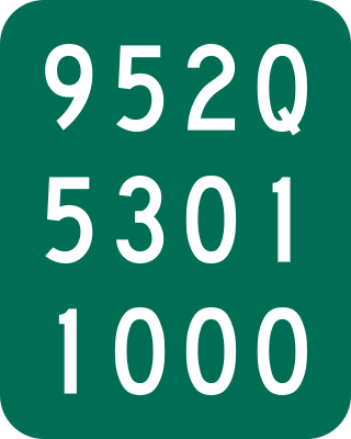
New York State Route 952Q (NY 952Q) is an unsigned reference route designation for the portion of Walden Avenue outside of the Buffalo city limits in Erie County, New York, in the United States. The western terminus of the 14-mile (23 km) route is at the Buffalo city line in Cheektowaga, where Walden Avenue continues west toward downtown Buffalo. Its eastern terminus is at Genesee Street in Alden, where NY 33 and Genesee Street continue on the linear northeasterly path followed by Walden Avenue for most of its routing.

New York State Route 20SY (NY 20SY) was a state highway in the vicinity of the city of Syracuse, New York, in the United States. It connected U.S. Route 20 (US 20) to downtown Syracuse via Skaneateles, Camillus, Manlius, and Cazenovia in Onondaga County and Madison County. The highway began at an intersection with US 20 and NY 321 in the village of Skaneateles and ended at a junction with US 20, NY 20N, and NY 92 near the village of Cazenovia. Most of NY 20SY overlapped another route; however, two sections of NY 20SY—one in the town of Camillus and another near the village of Fayetteville—were not concurrent with another highway.
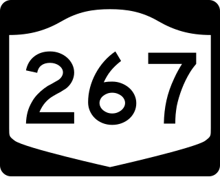
New York State Route 267 (NY 267) was an east–west state highway in the western portion of New York in the United States. It extended for 7.16 miles (11.52 km) from an intersection with NY 93 in the Erie County village of Akron to a junction with NY 77 in the Genesee County hamlet of Basom. Part of NY 267 in Genesee County passed through the Tonawanda Indian Reservation. The portion of NY 267 within Erie County was assigned c. 1935. NY 267 was extended east to NY 77 in Basom in the late 1930s, replacing New York State Route 77A, a spur leading from NY 77 to the eastern edge of the Tonawanda Reservation. The Erie County segment of the route was transferred from the state of New York to Erie County in April 1980, leading to the total removal of the NY 267 designation in August of that year.