This is a list of islands of Fujian under the administrative rule of the People's Republic of China. Islands currently administered by the Republic of China as part of the Fujian Province are not included.
This is a list of islands of Fujian under the administrative rule of the People's Republic of China. Islands currently administered by the Republic of China as part of the Fujian Province are not included.
Islands in Huangqi include: [1] : maps, 151–153
Islands in Tailu include: [1] : maps, 151–153
Islands in Haidao Township include: [3]
Inhabited islands in the Xiuyu District include: [13]
Uninhabited islands in the district include: [13]
Islands in Nan'an include: [18]
The Dadeng (Tateng) Islands are claimed as part of Kinmen County (Quemoy) by Taiwan (ROC). China (PRC) has administered the islands since 1949.
Dadeng Subdistrict is made up of offshore islands and islets including: [19] [20]
Islands in Gangwei include: [28]
表2-6 连江县岛屿一览表(as shown in the map Lianjiang Xian Zhengqu Tu (连江县政区图) near the front of the book; the Matsu Islands (north) are colored yellow as is Heiyan Dao (黑岩岛)
{...}
名称 地理位置 所在乡镇
{...}
黑岩岛(茭只) 北纬26°23'东经120°05' 苔菉
海岛乡由西洋、浮鹰、四礵列岛、小西洋、魁山、马刺等43 个岛屿组成,海域面积广阔,海岸线总长度为 104.5km,浅海和滩涂面积 15.6 万亩,陆地 总面积 29.8km2。
Spider island is a large island, with two remarkable cones on its northern end, called Double Peak island; it is 3 1/2 miles long, and its highest peak 1190 feet high.
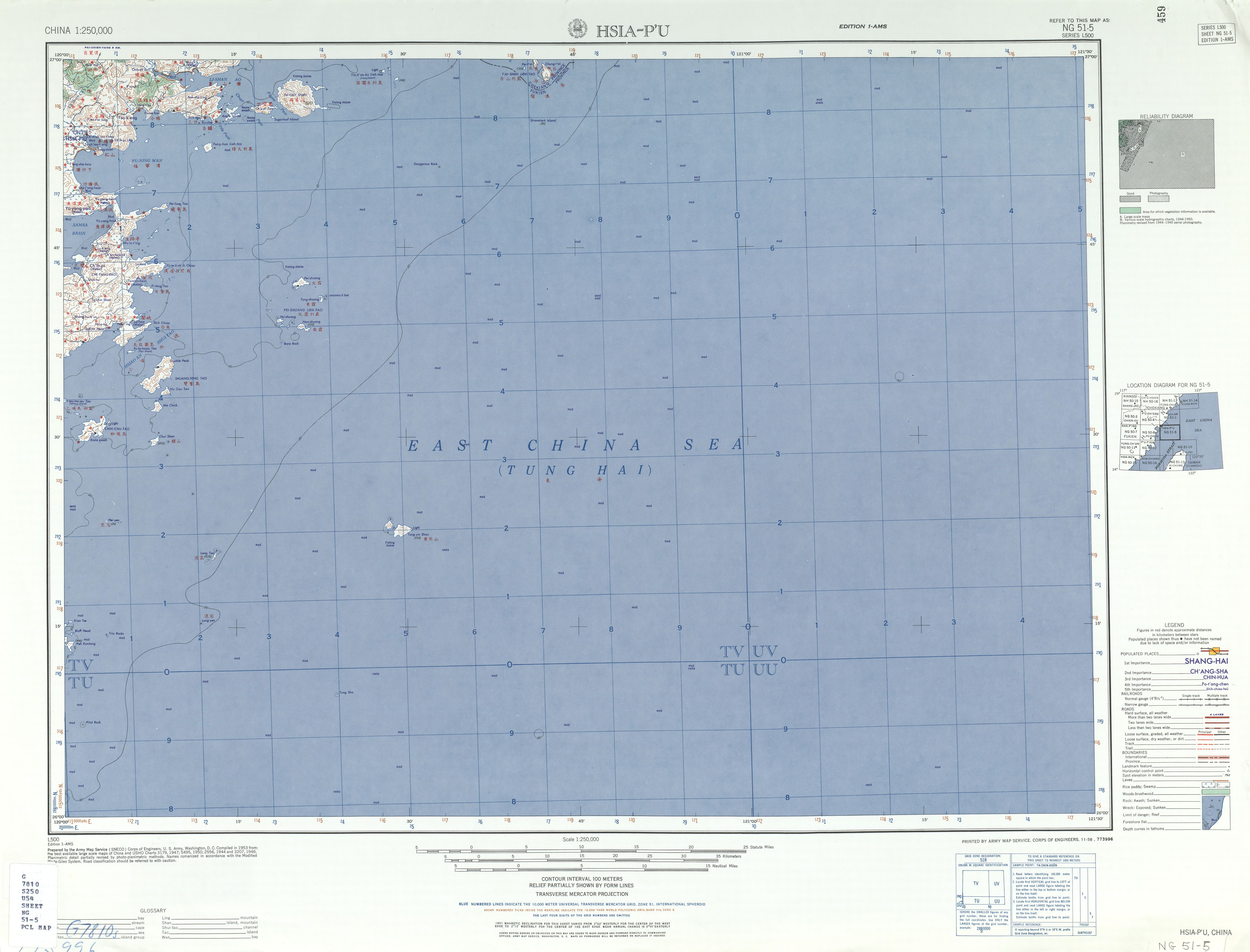
Pei-shuang 北霜{...}Tung-shuang 東霜{...}PEI-SHUANG LIEH-TAO 北霜列島{...}Hsi-shuang{...}Nan-shuang (122) 南霜{...}HSIAO AN SHUI TAO 小安水道{...}SHUANG-FENG TAO 雙峯島{...}Nu Geu Sen{...}I-ssu-ma-ssu Tao (Isthmus Island)乙四馬四島{...}Ma Chick{...}CHIH-CHU-TAO 蜘蛛島{...}Nu Geu Sen{...}Chui Shan 錐山
5月16日,我们来到霞浦县西洋岛拍日出。日光下,西洋岛对面的浮鹰岛、马刺岛、尼姑屿显得格外美丽。
乌屿{...}马鞍岛{...}大东屿
(二)海岛分布 境内海岛主要分布在三大海湾内。兴化湾南部(包括埭头半岛)有海岛32个,其中居民岛3个。南日群岛(包括十八列岛)有海岛65个,其中居民岛5个;平海湾有海岛9个,全为无居民岛;湄洲湾有海岛14个,其中居民岛1个;湄洲湾周边(包括湄洲岛、虎狮列岛)有海岛13个,其中居民岛1个;鸬鹚周边(包括鸬鹚岛)有海岛4个,全为无居民岛;乌丘屿周边(包括乌丘屿)有海岛4个,其中居民岛1个。
位于平海镇外海约6海里处的鸬鹚岛,岛上有漂亮的沙滩,奇特的礁石,是难得的避暑休闲旅游胜地。图为上周末知行户外运动倶乐部组织户外爱好者上岛游玩,享受海岛避暑游乐趣。本报记者 陈永忠摄
鷺鷥嶼一、島嶼位置 烏坵嶼東離台灣新竹約 81 浬 (約 150 公里)、西距中國大陸湄 洲島約 20 浬(約 37 公里)、離大 陸(鷺鷥島)最近距離約 9 浬(約 17 公里)、南下金門約 70 浬(約 130 公里)、北至馬祖約 72 浬(約 133 公里)、位處金門與馬祖中心 點,與中國大陸南日島相隔 10.6 浬 (約 20 公里)。
東距台灣省台中七十三海浬、東北距基隆一八○海浬、東南距澎湖九十三海浬、左營一四五海浬、高雄一八二海浬、西距湄洲島十八海浬、西北距鷺鷥島九海浬、西南距金門七十二海浬、北距南日島十二海浬、馬祖八十六海浬、位處金門縣與連江縣中心點。
In addition, Kinmen County Government helps administer all level agencies in two villages of Wuquiu Township in Futian County of Fujian Province to exercise regular government affairs.
83 奎屿 福建省 泉州市 南安市 24°35′N,118°25′E 0.006042 为大陆岛,由变质岩组成。表层黄沙壤土,植被主要为灌木和木麻黄。基岩海岸,附近水深0~2 m,周围多干出礁。海域吊养牡蛎。 岛上岩石曾被开采。 旅游娱乐用岛
{...}
85 大佰屿 福建省 泉州市 南安市 24°34′N,118°27′E 0.0599 为大陆岛,由变质岩组成,表层为黄土砂质,植被发育,以木麻黄为主。海岸为基岩岸滩,间有沙质岸、人工石砌护岸。西南部多暗礁,为航行危险区域。 岛上有淡水井。岛上曾开发旅游项目,西北部建有大百屿酒店、郑成功涌泉井碑、小庙以及斜坡码头发电机房、蓄水池、排污管等配套建筑,现已大部分荒废,周围多处搭建有简陋的棚屋,岸边废弃物堆积未清理。山脚下建有未完工的红砖楼,现有部分管理人员在岛上居住。 旅游娱乐用岛 又名"大百屿"
86 小佰屿 福建省 泉州市 南安市 24°34′N,118°26′E 0.0351 为大陆岛,由变质岩组成。表层黄土,植被茂密。海岸为基岩岸滩,间有沙质岸。附近水深0~2 m,周围海域多干出礁,南部多暗礁,为航行危险区域。海域产有鲻鱼、章鱼等。 尚未开发利用。 旅游娱乐用岛 又名"小百屿"
大嶝街道位于厦门市翔安区东南部,隔海北与南安市石井镇毗邻,南与金门岛相对,西南与厦门岛相望,由大嶝、小嶝、角屿三个岛屿组成,总人口约2.6万人,土地面积13.2平方公里,海岸线25.15公里,{...}大嶝,于1958年 "八·二三"炮战中被国务院、中央军委授予"英雄三岛"称号,入编民政部《中国名镇》目录。{...}2005年9月,撤销大嶝镇建制,设立大嶝街道办事处。{...}2002年底中共厦门市市委九届五次全委会通过的《厦门市加快海湾型城市建设实施纲要》,明确把大嶝确定为对台旅游商贸区。{...}一方面加快大嶝战地旅游设施建设,另一方面开辟了"游三岛、登白哈、看金门"的旅游航线,组建了一支豪华舒适的旅游船队。
翔安区设立于2003年10月19日。陆地总面积420平方公里,海域面积134平方公里,下辖一街(大嶝街道)、四镇(新店、马巷、内厝和新圩),{...}大嶝岛 小嶝岛 角屿 白蛤礁
Located in the southeast waters of Xiamen's Xiang'an District, the Dadeng Isles are comprised of three islands—Dadeng, Xiaodeng and Jiaoyu. Known as the Three-Hero Islands, they cover an area of 13.2 square kilometers, with a population of approximately 20,000 people.
2. {redacted}ChiComs are building a causeway to link Tateng Island, the Communist territory nearest Quemoy, to mainland. 3.{redacted}several thousand troops (recently arrived in Amoy from Shanghai) will be garrisoned on Tateng after the causeway is completed (in next two months).
After a lull of several weeks in artillery duels in the Quemoy area, Chinese Nationalist 155mm howitzers on 28 November fired 240 rounds at a causeway which the Chinese Communists are constructing between the mainland and Tateng Island, four to five miles north of Quemoy. Communist artillery responded with 680 rounds. No major damage was reported. {redacted} 2. The Chinese Communists began constructing the 6,300-foot causeway to Tateng apparently in early November. Such a link with the mainland would facilitate supply of Communist military positions on Tateng. Communist artillery now on the island is believed to include only 76mm guns, but 122mm or larger weapons could take any point on Quemoy under fire.{redacted}
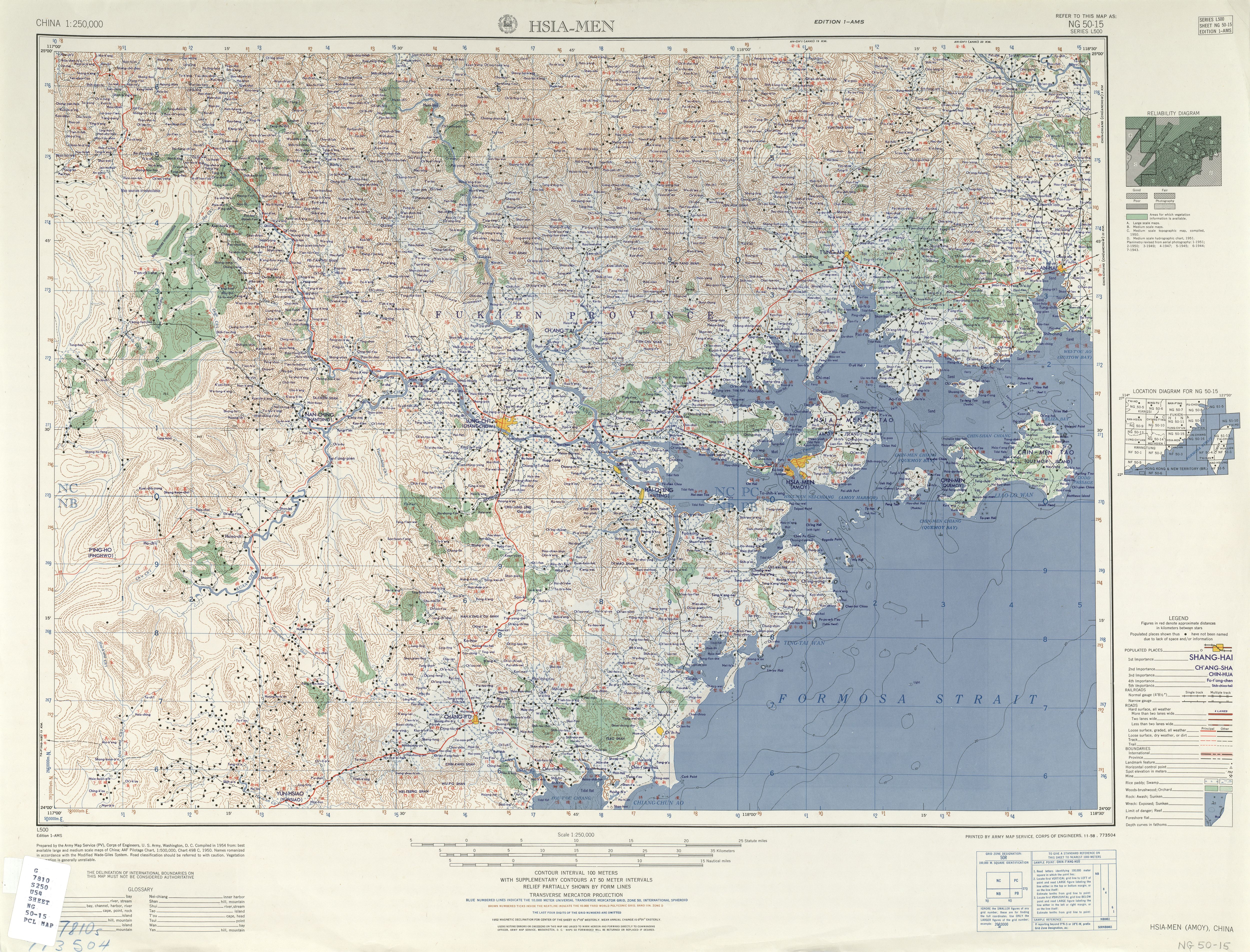
2. The 11 Artillery Regiment is at Ningpo. The 12 and 13 Artillery Regiments moved to South Fukien, and are in Tateng (118-20, 24-35) and Hsiaoteng (118-25, 24-35) Islands and Amoy respectively.
Ch'i-k'ou-hsia T'ien-ch'ien 双沪 Shuang-hu 陽塘 Yang-t'ang Ta-teng Tao (Twalin) Hsiao-teng (Town I.) Chiao Hsü (Reef I.)
Chiao I.
许小燕的童年就在附近的港尾镇石坑村度过,荒山野岭、乱石林立、杂草丛生、交通不便……对于童年时家乡的面貌,她至今记忆犹新。
大二膽島為國軍據守,但在九龍江口的重要島嶼,還有在大膽島南方的浯嶼和西南方的青嶼﹙又稱下青嶼﹚,均落入共軍之手,
浯嶼