
Inverness is a city in the Scottish Highlands, having been granted city status in 2000. It is the administrative centre for The Highland Council and is regarded as the capital of the Highlands.
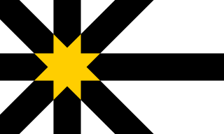
Sutherland is a historic county, registration county and lieutenancy area in the Highlands of Scotland. The name dates from the Viking era when the area was ruled by the Jarl of Orkney; although Sutherland includes some of the northernmost land on the island of Great Britain, it was called Suðrland from the standpoint of Orkney and Caithness.

Ross and Cromarty, is an area in the Highlands and Islands of Scotland. In modern usage, it is a registration county and a lieutenancy area. Between 1889 and 1975 it was a county.
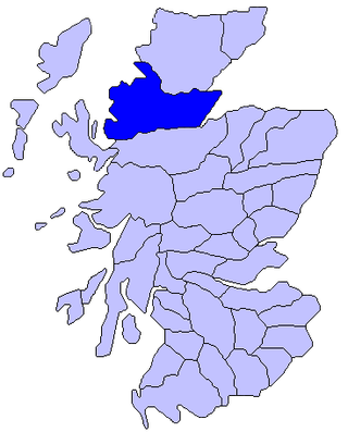
Ross is an area of Scotland. It was first recorded in the tenth century as a province, at which time it was under Norwegian overlordship. It was claimed by the Scottish crown in 1098, and from the 12th century Ross was an earldom. From 1661 there was a county of Ross, also known as Ross-shire, covering most but not all of the province, in particular excluding Cromartyshire. Cromartyshire was subsequently merged with the county of Ross in 1889 to form the county of Ross and Cromarty. The area is now part of the Highland council area.

Drumnadrochit is a village in the Highland local government council area of Scotland, lying near the west shore of Loch Ness at the foot of Glen Urquhart. The village is close to several neighbouring settlements: the villages of Milton to the west, Kilmore to the east and Lewiston to the south. The villages act as a centre for regional tourism beside Loch Ness, as well as being a local economic hub for the nearby communities.

Wiay, pronounced "waya" is an uninhabited island in Loch Bracadale, off the coast of the Isle of Skye
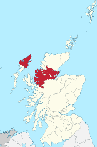
Ross-shire, or the County of Ross, was a county in the Scottish Highlands. It bordered Sutherland to the north and Inverness-shire to the south, as well as having a complex border with Cromartyshire, a county consisting of numerous enclaves or exclaves scattered throughout Ross-shire's territory. The mainland had a coast to the east onto the Moray Firth and a coast to the west onto the Minch. Ross-shire was named after and covered most of the ancient province of Ross, and also included the Isle of Lewis in the Outer Hebrides. The county town was Dingwall.

Balnain is a small village in Glenurquhart, Scotland, about 5 miles west of Drumnadrochit. It is mostly dependent on tourism, forestry, agriculture and farming. The first buildings were created in the 1870s and 1880s and minor expansions occurred in the 1900s, 1960s and 1970. Its height above sea level is 123.6m.
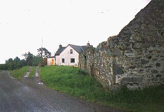
Balbeg is a clachan (hamlet) about 0.5 miles (1 km) north-east of Balnain, 4 miles (6 km) west of Drumnadrochit, Inverness-shire and is in the Scottish council area of Highland.

Fiskavaig or Fiscavaig is a picturesque crofting settlement on the north-west shore of the Minginish peninsula, Isle of Skye in the Highland Council area.

Inverness-shire or the County of Inverness, is a historic county in Scotland. It is named after Inverness, its largest settlement, which was also the county town. Covering much of the Highlands and some of the Hebrides, it is Scotland's largest county by land area. It is generally rural and sparsely populated, containing only three towns which held burgh status, being Inverness, Fort William and Kingussie. The county is crossed by the Great Glen, which contains Loch Ness and separates the Grampian Mountains to the south-east from the Northwest Highlands. The county also includes Ben Nevis, the highest mountain in both Scotland and the United Kingdom.
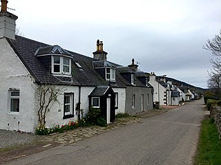
Lewiston is a small linear village, situated less than 1 mile southeast of Drumnadrochit, in Inverness-shire, Scottish Highlands and is in the Scottish council area of Highland.

Rubha an Dùnain or Rubh' an Dùnain is an uninhabited peninsula to the south of the Cuillin hills on the Isle of Skye in Scotland. It contains unique archaeological sites which in 2017 were designated as a historic monument of national importance by Historic Environment Scotland.
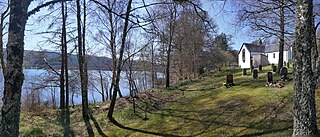
Loch Meiklie is a freshwater loch in Inverness-shire, Scotland, 6.4 kilometres (4.0 mi) west of Drumnadrochit.

Loch Beannacharan is a freshwater loch in Glen Strathfarrar, situated roughly 9.5 kilometres (5.9 mi) west of the village of Struy.

Loch Aisir Mòr is a lochan in Scotland's Flow Country. It is situated about one mile from the western coast of Sutherland, at the northeast edge of Oldshoremore, a scattered crofting settlement, and about two miles north of the larger settlement of Kinlochbervie. The lochan is surrounded by heathland. A claybed lines its north shore. Its outflow to the sea is Abhainn Aisir Mhòr, a river about one mile long.
Loch Airigh an Eilein is a lochan in Wester Ross, Scotland roughly 4 km northwest of the scattered crofting settlement of Inverasdale.

Loch Beinn a' Mheadhoin is a freshwater loch in Inverness-shire, Scotland. It is one of several lochs in Glen Affric, a National Nature Reserve within Scotland's Caledonian Forest.

Loch Sealbhanach is a freshwater loch in Glen Cannich, Scotland.

Ashgrove Loch, also known as Stevenston Loch, is a mesotrophic lochan in North Ayrshire, Scotland, approximately 2 km northeast of the town of Stevenston.


