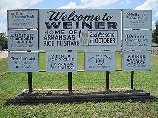
Weiner is a city in Poinsett County, Arkansas, United States. The population was 760 at the 2000 census. It is included in the Jonesboro, Arkansas Metropolitan Statistical Area.
Twist is an unincorporated community in Cross County, Arkansas, United States. Twist was named after a nearby plantation of the same name.

Nogo is a small unincorporated community in Smyrna Township, Pope County, Arkansas, United States. It is part of the Russellville Micropolitan Statistical Area.
Burnville is an unincorporated community in Sebastian County, Arkansas, United States.
Coffeeville is an unincorporated community in Jackson County, Arkansas, United States.
Coin is an unincorporated community in Carroll County, Arkansas, United States.
Cotton Belt is an unincorporated community in Greene County, Arkansas, United States.
Cow Mound is a ghost town in Woodruff County, Arkansas, United States.
Fender is an unincorporated community in Randolph County, Arkansas, United States.
Flag is an unincorporated community in Stone County, Arkansas, United States.
Fortune is an unincorporated community in Cross County, Arkansas, United States.
Four Gums is an unincorporated community in St. Francis County, Arkansas, United States.
Fly Gap is a ghost town in Franklin County, Arkansas, United States.
Gobbler is an unincorporated community in southern Carroll County, Arkansas, United States. The community is located at the intersection of U.S. Route 412 and Arkansas Highway 103, approximately ten miles south of Green Forest. The location is on a ridge between the headwaters of Piney Creek to the northwest and a small tributary to Osage Creek to the southeast.at an elevation of 1,657 ft (505 m).
Hicksville is an unincorporated community in Phillips County, Arkansas, United States.
Horseshoe is an unincorporated community in Jackson County, Arkansas, United States.
Monkey Run is an unincorporated community in Baxter County, Arkansas, United States.
Nuckles is an unincorporated community in Jackson County, Arkansas, United States.
Rule is an unincorporated community in Carroll County, Arkansas, United States. The community is located on Arkansas Highway 103 on the banks of Osage Creek and about four miles south of Green Forest.
Uno is an unincorporated community in Poinsett County, Arkansas, United States.