
U.S. Route 201 is part of the nationwide system of United States Numbered Highways. It runs for 157.46 miles (253.41 km) entirely within the state of Maine and is a spur route of U.S. Route 1. Its southern terminus is in Brunswick at US 1 and Maine State Route 24 Business. Its northern terminus is at the Canada–US border near Jackman, where it connects to Quebec Route 173.

U.S. Route 302 is an east–west spur of U.S. Route 2 in northern New England in the United States. It currently runs 171 miles (275 km) from Montpelier, Vermont, beginning at US 2, to Portland, Maine, at U.S. Route 1. It passes through the states of Vermont, New Hampshire and Maine.

State Route 11 (SR 11) is a state highway in the U.S. state of Maine. It is a major interregional route which runs nearly the entire length of the state from south to north. The southern terminus of SR 11 is at the New Hampshire state line in Lebanon, where it connects to New Hampshire Route 11. The northern terminus is at U.S. Route 1 (US 1) and SR 161 in Fort Kent, near the Canada–US border. The highway travels through York, Cumberland, Androscoggin, Kennebec, Somerset, Waldo, Penobscot, Piscataquis and Aroostook counties. At 400.93 miles (645.23 km) in length, SR 11 is the longest state highway in Maine by a wide margin. However, it is not the longest numbered route in Maine, as US 1 runs for over 526 miles (847 km) in the state.

State Route 115 (SR 115) is a state highway in southern Maine, United States. It runs west to east for just over 18 miles (29 km), from U.S. Route 302 (US 302) and SR 35 in North Windham to SR 88 in Yarmouth.

State Route 37 is part of Maine's system of numbered state highways, located in the western part of the state. It runs for 9+1⁄4 miles (14.9 km) from an intersection with SR 117 in Bridgton to an intersection with SR 118 in Waterford. The route is also known as North Bridgton Road. The middle portion of the route is concurrent with SR 35.

State Route 117 is part of Maine's system of numbered state highways, running from SR 112 in Saco to SR 219 in Turner.

State Route 237 (SR 237) is a state highway located in Cumberland County in southern Maine, United States. It begins at SR 25 in Gorham and runs for 8.13 miles (13.08 km) north to Standish, where it ends at SR 35. The highway functions as a bypass of the towns of Gorham, Windham and Standish.

State Route 114 (SR 114) is a route through southern Maine from U.S. Route 1 (US 1) and SR 9 and SR 207 in Scarborough to US 302 and SR 11 in Naples. The entire route is in Cumberland County.

State Route 105 (SR 105) is a 23.1-mile-long (37.2 km) state highway in the northeastern part of the U.S. state of Georgia. The highway begins at the Banks–Franklin–Stephens county tripoint, east-southeast of Baldwin. It ends at Harvest, which is west-northwest of Clarkesville.

State Route 93 (SR 93) is part of Maine's system of numbered state highways, located in Oxford County. It is a minor highway in the western part of the state, running 11 miles (18 km) from U.S. Route 302 (US 302) in Bridgton to SR 5 in Lovell. It is signed as a north-south highway, but runs roughly southeast-to-northwest.

State Route 173 (SR 173) is a 20.9-mile-long (33.6 km) route that stretches from the Lincolnville Ferry Terminal in Lincolnville at its southern end to SR 220 in Liberty at its northern end. The route is located in Waldo County.
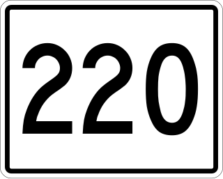
State Route 220 (SR 220) is a state highway located in central coastal Maine. It begins at State Route 97 in Friendship on the Atlantic coast and runs for 66.50 miles (107.02 km) north to Palmyra, where it ends at State Route 11 and State Route 100. SR 220 runs through a series of small towns, with connecting routes leading to larger population centers such as Augusta, Waterville, and Bangor to the east and west.

State Route 204 (SR 204) is part of Maine's system of numbered state highways, located in Hancock County. It runs from SR 3 in Trenton, passing SR 184 in Lamoine, and ending at the intersection with Seal Point and Marlboro Beach roads. The route is 6.5 miles (10.5 km) long.

State Route 143 (SR 143) is a 15-mile-long (24 km) state highway in the U.S. state of Maine. The highway, located entirely in Penobscot County, connects U.S. Route 202 (US 202) and SR 9 in the town of Dixmont and SR 222 in the town of Stetson.
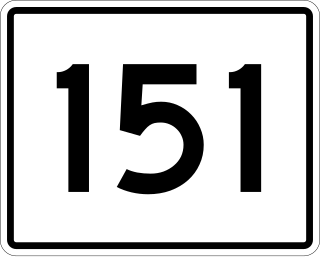
State Route 151 (SR 151) is a 30.5-mile-long (49.1 km) L-shaped state highway in the U.S. state of Maine. Running entirely in Somerset County, it travels from U.S. Route 2 (US 2) in Palmyra to Northeast Somerset, an unorganized territory within the state. It passes through the towns of Hartland, Athens, and Brighton intersecting other state highways in the centers of these towns.
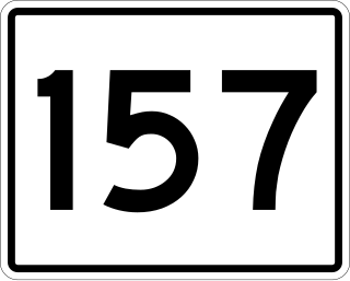
State Route 157 (SR 157) is a 22-mile-long (35 km) state highway in the northern part of the U.S. state of Maine. It travels between the towns of Millinocket and Mattawamkeag generally following the northern banks of the West Branch Penobscot River and the Penobscot River. For just under a half of its length, it is concurrent with SR 11 from Millinocket to Medway. This portion is also concurrent with the Katahdin Woods & Waters Maine Scenic Byway.
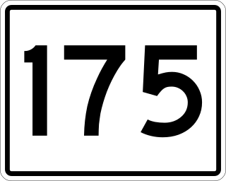
State Route 175 (SR 175) is a state highway entirely in Hancock County, Maine that travels for 37.8 miles (60.8 km). The shape of the route is an unusual U-shape and travels along the peninsula surrounded by Blue Hill Bay, Eggemoggin Reach, and Bagaduce River. The route is signed as north-south but has two northern termini: at State Routes 15, 172, and 176 in Blue Hill, and at SR 166 in Penobscot. The transition point of the directional signage occurs about 2+1⁄2 miles (4.0 km) from the Blue Hill terminus.

State Route 215 (SR 215) is a state highway in the U.S. state of Maine. It runs for about 17 miles (27 km) between Newcastle at U.S. Route 1 Business and Jefferson at SR 32, entirely in Lincoln County.

State Route 227 (SR 227) is a 24.38-mile-long (39.24 km) state highway located in Aroostook County in northeastern Maine. Its western terminus is at SR 11 in Ashland and its eastern terminus is at SR 163 in Presque Isle after sharing a one-mile-long (1.6 km) concurrency.

State Route 235 is a 23+1⁄2-mile-long (37.8 km) state highway located in eastern Maine, running through parts of Lincoln, Knox, and Waldo counties. Its southern terminus is at U.S. Route 1 (US 1) in Waldoboro. Its northern terminus is at SR 52 and SR 173 in Lincolnville.

