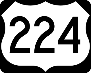
U.S. Route 224 (US 224) is a spur of US 24 that runs through the states of Indiana, Ohio and Pennsylvania. It currently runs for 289 miles (465 km) from US 24 in Huntington, Indiana, east to US 422 Business and Pennsylvania Route 18 (PA 18) in New Castle, Pennsylvania. It goes through the cities of Canfield, Ohio, Akron, Ohio, and Findlay, Ohio. In Northeast Ohio, US 224 is located a short distance north of the Western Reserve's southern boundary.

State Route 16 (SR 16) is a numbered state highway in Maine, United States. SR 16 runs from the New Hampshire state line at Wentworth Location in the west to Orono at the eastern terminus. State Route 16 runs a total of 190 miles (310 km), passing mostly through rural areas, with the largest population center at its eastern terminus in Orono at Interstate 95 (I-95).

State Route 100 (SR 100) is a state highway in the U.S. state of Maine, running from Portland to Bangor.

State Route 90 (SR 90) is a 155-mile-long (249 km) state highway that travels southeast-to-northwest through portions of Atkinson, Coffee, Irwin, Ben Hill, Turner, Wilcox, Crisp, Dooly, Macon, Taylor, and Talbot counties in the south-central and west-central parts of the U.S. state of Georgia. The highway connects Willacoochee and Talbotton, via Ocilla, Fitzgerald, Cordele, Vienna and Oglethorpe.

State Route 49 (SR 49) is a 122.8-mile-long (197.6 km) state highway that travels southwest-to-northeast through portions of Terrell, Sumter, Macon, Peach, Houston, Bibb, Jones, and Baldwin counties, mainly in the central part of the U.S. state of Georgia. The highway connects SR 45 north of Dawson to SR 22/SR 24 in Milledgeville.

State Route 27 is part of Maine's system of numbered state highways, running 154.1 miles (248.0 km) from the village of Newagen in Southport at SR 238 to the Coburn Gore–Woburn Border Crossing, where it continues into Quebec as Route 161.
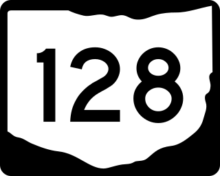
State Route 128 (SR 128) is a 22.5-mile-long (36.2 km) state route that runs between Cleves and Hamilton in the US state of Ohio. Most of the route is a rural two-lane highway and passes through both woodland and farmland. For much of its path, SR 128 runs generally parallel to the west of the Great Miami River. The highway was first signed in 1923 on the same alignment as today. The whole highway was paved by 1928. US 50 Bypass was commissioned on a section of SR 128 in 1935 and it was decommissioned in 1974.

Lund Highway is a road connecting Cedar City to the ghost town of Lund in Iron County, Utah. Although it is classified as a minor collector, it was once an important connection between the Union Pacific Railroad at Lund and the national parks of southern Utah and northern Arizona.

State Route 238 is a state highway located on Southport Island in south central Maine. It runs entirely within the town of Southport and intersects with SR 27 at both ends. SR 238 traverses the eastern edge of Southport Island, serving as an alternate to SR 27 which runs roughly parallel on the western side of the island. It is locally named Cape Newagen Road over its entire 3.73-mile (6.00 km) length.
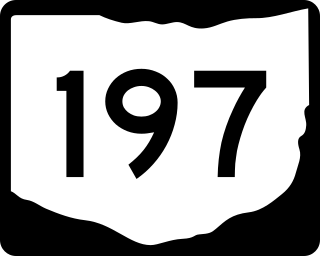
State Route 197 (SR 197) is 25.28-mile (40.68 km) east–west state highway in the western part of the U.S. state of Ohio. The western terminus of SR 197 is at a signalized intersection in downtown Celina that marks the junction of U.S. Route 127 (US 127), SR 29 and SR 703. SR 197 has its eastern terminus at SR 198 nearly 2 miles (3.2 km) southeast of the village of Buckland.

State Route 128 (SR 128) is a 35.1-mile-long (56.5 km) state highway that runs south-to-north through portions of Macon, Taylor, and Crawford counties in the west-central part of the U.S. state of Georgia.
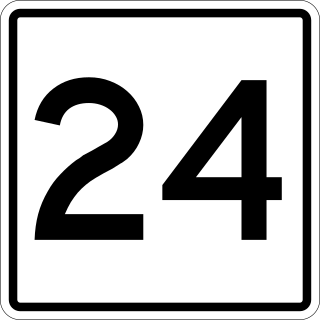
State Route 24 is part of Maine's system of numbered state highways, running from Bailey Island south of Orr's Island in Harpswell northward to Gardiner, passing through Brunswick along the way.

State Route 119 is part of Maine's system of numbered state highways, located in the southwestern part of the state. It runs for 15.2 miles (24.5 km) from Minot to Paris. Its southern terminus in Minot is at State Route 11 and State Route 121, and its northern terminus in South Paris is at State Routes 26 and 117. Its northernmost 0.4 miles (0.6 km) are cosigned with SR 117 in a wrong-way concurrency.

State Route 197 (SR 197) is a 20.54-mile-long (33.06 km) east-west state highway in the US state of Maine.

State Route 234 (SR 234) is a state highway located in central Maine. It begins at an intersection with SR 149 in Strong and runs east for 18.51 miles (29.79 km) to U.S. Route 201A (US 201A) and SR 8 in Anson. SR 234 exists in two separate segments connected by a two-mile (3.2 km) section of SR 27.
State Route 166 (SR 166) is part of Maine's system of numbered state highways, located in the southern coastal part of the state adjacent to the mouth of the Penobscot River. It runs just under fifteen miles (24 km) between the town of Castine and Orland at U.S. Route 1 (US 1) and SR 3/SR 15.
State Route 123 (SR 123) is part of Maine's system of numbered state highways, running from Harpswell to SR 24 Business in Brunswick. The entire route is in Cumberland County.

State Route 127 (SR 127) is a state highway running between Dresden and Georgetown in the U.S. state of Maine.
State Route 126 (SR 126) is a state highway in central Maine connecting Lewiston and Washington.

State Route 144 (SR 144) is part of Maine's system of numbered state highways, located in Lincoln County along the state's southern coast. The southern terminus is at West Shore Road in Westport Island and the northern terminus is at U.S. Route 1 (US 1) in Wiscasset.

