Broad Peak is a mountain in the Karakoram on the border of Pakistan and China, the twelfth-highest mountain in the world at 8,051 metres (26,414 ft) above sea level. It was first ascended in June 1957 by Fritz Wintersteller, Marcus Schmuck, Kurt Diemberger, and Hermann Buhl of an Austrian expedition.

Mount Marcy is the highest point in New York, with an elevation of 5,344 feet (1,629 m). It is located in the Town of Keene in Essex County. The mountain is in the heart of the Adirondack High Peaks region of the High Peaks Wilderness Area. Its stature and expansive views make it a popular destination for hikers, who crowd its summit in the summer months.

Kalsubai is a mountain in the Western Ghats, located in the Indian state of Maharashtra. Its summit, situated at an elevation of 1,646 metres (5,400 ft), is the highest point in Maharashtra.

Bandarban is a district in South-Eastern Bangladesh, and a part of the Chittagong Division. It is one of the three hill districts of Bangladesh and a part of the Chittagong Hill Tracts, the others being Rangamati District and Khagrachhari District. Bandarban district (4,479 km2) is not only the most remote district of the country, but also the least populous. There is an army contingent at Bandarban Cantonment.

Panoramio was a geo-located tagging, photo sharing mashup active between 2005 and 2016. Photos uploaded to the site were accessible as a layer in Google Earth and Google Maps. The site's goal was to allow Google Earth users to learn more about a given area by viewing the photos that other users had taken at that location. Panoramio was acquired by Google in 2007. In 2009 the website was among 1000 most popular websites worldwide.

Chiricahua Peak is the name of a 9,763 feet (2,976 m) peak located in the Chiricahua Mountains of southeastern Arizona, located about 35 miles (56 km) north of the United States–Mexico border. It is the highest summit in the Chiricahua Mountains and the highest point in Cochise County.

The Explorer's Grand Slam is an adventurer goal to reach the North Pole and South Pole, as well as climb the Seven Summits. Purists also include a submarine expedition to the bottom of the Marianas Trench, but this is not necessary by most popular accounts.

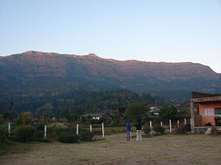
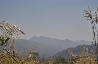
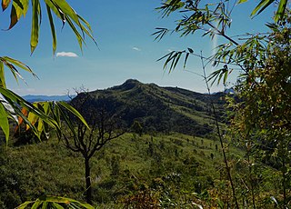
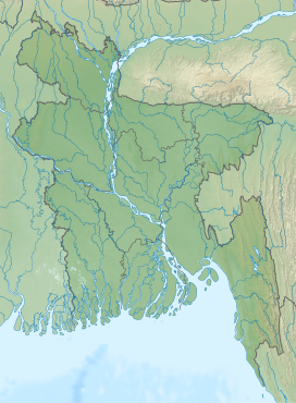
Keokradong is a peak located in Bandarban, Bangladesh, with an elevation of 986 metres (3,235 ft). Some sources claim it as the highest point of Bangladesh.

Saka Haphong is a peak in Southeast Asia and South Asia. Situated in Bangladesh & Myanmar it is often considered the highest point of the country (Bangladesh), with an elevation of 1,052 metres (3,451 ft). Located on the Bangladesh–Myanmar border, it is situated between Thanchi, Bandarban, Bangladesh and the Chin State of Myanmar.

Pikes Peak is the highest summit of the southern Front Range of the Rocky Mountains, in North America. The ultra-prominent 14,115-foot (4,302.31 m) fourteener is located in Pike National Forest, 12 miles (19 km) west of downtown Colorado Springs, Colorado. The town of Manitou Springs lies at its base.
Jharna Dhara Chowdhury was a Bangladeshi social activist.

Dumlong or Msha Panji Haphong mountain in Belaichori, Rangamati, Bangladesh may be the second highest mountain in the country, as claimed by Wadud Mohosin Rubel, Asif Aminur Rashid, Nagib Meshkat & Abdul Haq of the Nature Adventure Club in 2011. On the basis of Garmin GPS they have measured the height of the mountain which is 3314 feet. The location he recorded, 22°02′02.1″N 92°35′36.3″E, accurately matches the location given by Google Earth.

Thingdawlte Tlang is a mountain in Bangladesh. It is the highest point of the Lowmbok Row range and possibly the country's 7th tallest. In December 2012 local explorer Fahim Hasan of BD Explorer summited the peak and measured its height for the first time. The name of the peak was collected by BD Explorer and confirmed by the local residents. A few days later Zaqiul Deep of Travelers of Bangladesh measured the altitude as 3,133 feet (955 m). The easiest summit route is to start from Ruma of Bandarban district. The nearest settlement is Thingdawlte (Bawm) village, for which the peak is named.

Mukhra Thuthai Haphong is a significant border peak of Bangladesh, situated in the southern part of Belaichori of Rangamati Hill District. In April 2013, Fahim Hasan of BD Explorer summitted and measured this peak for the first time. Elevation measured at 953.6 metres (3,129 ft). The name of the peak was collected by BD Explorer and confirmed by the local tribal people of Dhupanichora village. The name Mukhra Thuthai Haphong came from the Tripura language. Nearest settlement is known as Dhupanichora para. The easiest route to summit this peak is to start from Ruma of Bandarban district.

Kala Pahar, also known as Debbarma Haphong in Khasi, is the highest peak of northern Bangladesh. Located near Robir bazar of Kulaura Upazila in Moulvibazar District, it is only 3–4 hours trekking distance from Azgarabad Tea Estate. This peak is also accessible from Rajki tea estate near Fultola bazar of Juri Upazila. The hill range of Kala Pahar is locally known as Longla Range. 'Kala Pahar' is the local name of the highest peak. According to Bangladesh Geographic society this hill is also known as 'Hararganj pahar'. In Bengali language 'hill' word means 'Pahar'. Situated in the north-eastern part of the country 60% of the range is in Bangladesh and the rest is in the Northern Tripura state of India. In Tripura, part of this hill is known as Raghunandan pahar. The famous ancient religious archaeological site of India ‘Unakoti’ lies at the foot of this hill. Kala Pahar is about 1,100 feet high from the sea level. During autumn, if the sky is clear, one can observe the blue water of Hakaluki haor(Largest haor of Bangladesh) from the high point of Kala Pahar. There are some Khasi establishments adjacent to this hill, such as Nunchora punji, Panaichora punji, Putichora punji and Baigonchora punji.


