
Coffin Bay National Park is a protected area in on the Eyre Peninsula of South Australia, Australia, which is located about 301 km west of Adelaide and about 46 km west of Port Lincoln. The town of Coffin Bay is near the entrance to the national park. The national park occupies the Coffin Bay Peninsula - a long peninsula with a sheltered bay to its north, coastal dunes, swamps and a coastline which overlooks islands, reefs, limestone cliffs and white surf beaches.
The Mud Islands reserve is located within Port Phillip, about 90 km (56 mi) south-west of Melbourne, Australia, lying 10 km (6.2 mi) inside Port Phillip Heads, 7 km (4.3 mi) north of Portsea and 9 km (5.6 mi) east of Queenscliff. The land area of about 50 hectares is made up of three low-lying islands surrounding a shallow tidal 35-hectare (86-acre) lagoon connected to the sea by three narrow channels. The shapes and configuration of the islands change over the years due to movement of sand by tidal currents.

Roebuck Bay is a bay on the coast of the Kimberley region of Western Australia. Its entrance is bounded in the north by the town of Broome, and in the south by Bush Point and Sandy Point. It is named after HMS Roebuck, the ship captained by William Dampier when he explored the coast of north-western Australia in 1699. The Broome Bird Observatory lies on the northern coast of the bay.
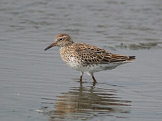
The Gulf St Vincent Important Bird Area comprises land extending along the coast of Gulf St Vincent, north of Adelaide, South Australia.

Limmen Bight is a bight, or large, open bay, located in the Northern Territory of Australia at the western end of the Gulf of Carpentaria about 360 kilometres (220 mi) east of the town of Katherine. It is part of the traditional lands and waters of the Marra people. It was named in April 1644 by Abel Tasman for one of his ships on his voyage of exploration along the northern Australian coast. It contains the second largest area of tidal flats in the Northern Territory.
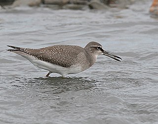
The Milingimbi Islands Important Bird Area comprises 94 km2 of land in the Milingimbi, or Crocodile Islands group, of the Northern Territory of Australia. The area is traditionally owned Aboriginal land. The mudflats are an important staging site for migratory waders, or shorebirds.

Moulting Lagoon Important Bird Area is a composite wetland site in eastern Tasmania, Australia. It comprises two adjacent and hydrologically continuous wetlands – Moulting Lagoon and the Apsley Marshes – at the head of Great Oyster Bay, near the base of the Freycinet Peninsula, between the towns of Swansea and Bicheno. Both components of the site are listed separately under the Ramsar Convention as wetlands of international significance. Moulting Lagoon is so named because it is a traditional moulting place for black swans. It is an important site for waterbirds.

The North-west Tasmanian Coast Important Bird Area comprises a 2438 km2 stretch of coastal and subcoastal land covering the northern section of the coast of western Tasmania, south-eastern Australia.

The Phillip Island Important Bird Area comprises a 20 km2 strip of coastline along the south and west coasts of Phillip Island, Victoria, in south-eastern Australia.

The Port Hedland Saltworks Important Bird Area is a 103 km2 tract of originally intertidal land, now containing a saltern, lying about 20 km east of the port of Port Hedland on the coast of the Pilbara region of north-west Western Australia. The salt processing facility is operated by Dampier Salt Ltd, part of the Rio Tinto Group.

The Port McArthur Tidal Wetlands System comprises a 994 km2 tract of tidal wetlands on the south-west coast of the Gulf of Carpentaria in the Northern Territory of Australia. The land extends along the coast opposite the Sir Edward Pellew Group of Islands, incorporating the estuaries of the McArthur and Wearyan Rivers. It is an important site for waders, or shorebirds.

The Repulse Bay to Ince Bay Important Bird Area is a disjunct stretch of coastline comprising a series of relatively sheltered beaches in the Mackay-Whitsunday region of Central Queensland, north-eastern Australia. With an area of 134 km2, it extends for about 180 km from Repulse Bay in the north through the city of Mackay to Ince Bay and Cape Palmerston in the south. It is an important site for waders, or shorebirds.
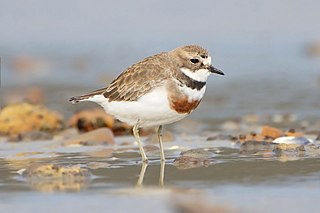
The Robbins Passage and Boullanger Bay Important Bird Area is a 238 km2 tract of land at the western end of the north coast of Tasmania, south-eastern Australia. It comprises extensive areas of intertidal mudflats and saltmarsh with adjacent farmland. It is an important site for waders, or shorebirds.

The South Arm Important Bird Area is a disjunct tract of mainly intertidal land on the eastern outskirts of Hobart, Tasmania, Australia.
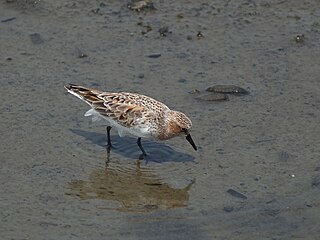
The Spencer Gulf Important Bird Area comprises a 460.38 square kilometres strip of coastal land extending for about 100 kilometres along the north-eastern coast of the Spencer Gulf in South Australia. It is considered to be an important site for waders, or shorebirds.

St Helens Important Bird Area comprises four separate sites, with a collective total area of 24 km2, in the vicinity of the town of St Helens on the northern part of the east coast of Tasmania, south-eastern Australia.

The Swan Bay and Port Phillip Bay Islands Important Bird Area comprises a cluster of disparate sites centred at the eastern end of the Bellarine Peninsula, and the southern end of Port Phillip, in Victoria, south-eastern Australia. As well as providing core wintering habitat for orange-bellied parrots, it is important for waders, or shorebirds, and seabirds.

The Werribee and Avalon Important Bird Area comprises some 37 km2 of coastal land along the northwestern shore of Port Phillip in the state of Victoria, in southeastern Australia. It is important for a wide variety of waterbirds.
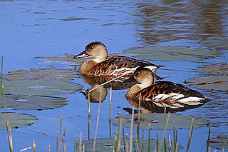
The Anson Bay, Daly and Reynolds River Floodplains comprise some 2,656 square kilometres (1,025 sq mi) of seasonally inundated floodplains around Anson Bay, and the lower reaches of the Daly, Reynolds and Docherty Rivers entering the bay, on the west coast of the Top End of the Northern Territory of Australia. Anson's Bay lies about 120 kilometres (75 mi) south-west of Darwin, on the eastern side of the Joseph Bonaparte Gulf, opening on to the Timor Sea. The site is important for large numbers, and a wide variety, of waterbirds.

The Cadell and Blyth Floodplains consist of the 432 square kilometres (167 sq mi) floodplain of the lower reaches of the Blyth and Cadell Rivers of northern Arnhem Land in the Top End of the Northern Territory of Australia. It is an important site for waterbirds.


