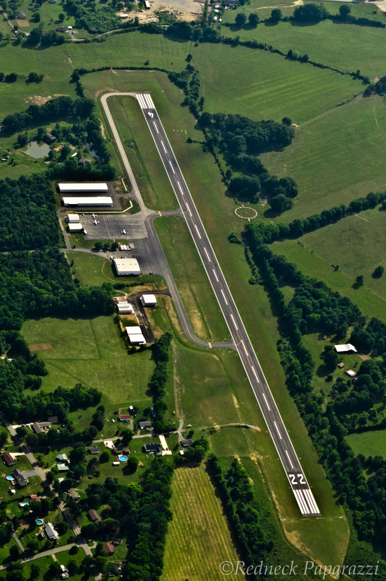
Marion County Airport Brown Field | |||||||||||
|---|---|---|---|---|---|---|---|---|---|---|---|
| Summary | |||||||||||
| Airport type | Public | ||||||||||
| Owner | Marion County | ||||||||||
| Serves | Jasper, Tennessee | ||||||||||
| Elevation AMSL | 641 ft / 195 m | ||||||||||
| Coordinates | 35°03′38″N085°35′07″W / 35.06056°N 85.58528°W | ||||||||||
| Map | |||||||||||
 APT Location of airport in Tennessee  APT APT (the United States) | |||||||||||
 | |||||||||||
| Runways | |||||||||||
| |||||||||||
| Statistics (2009) | |||||||||||
| |||||||||||
Source: Federal Aviation Administration [1] | |||||||||||
Marion County Airport( IATA : APT, ICAO : KAPT, FAA LID : APT), also known as Brown Field, is a county-owned, public-use airport located four nautical miles (7 km) southeast of the central business district of Jasper, a town in Marion County, Tennessee, United States. [1]