Mysore district, officially Mysuru district, is an administrative district located in the southern part of the state of Karnataka, India. It is the administrative headquarters of Mysore division. Chamarajanagar District was carved out of the original larger Mysore District in the year 1998. The district is bounded by Chamrajanagar district to the southeast, Mandya district to the east and northeast, Kerala state to the south, Kodagu district to the west, and Hassan district to the north.
Yelandur is a taluk and town in Chamarajanagar district in southern Karnataka, India. It has historic and cultural importance in this region. Along with three other taluks, it was officially included into Chamarajanagar district when the district was notified upon bifurcation of Mysore district in 1997.

Chamarajanagar or Chamarajanagara is a town in the southern part of Karnataka, India. Named after Chamaraja Wodeyar IX, the erstwhile Raja of Mysore, previously known as 'Arikottara'. Chamarajanagara is the headquarters of Chamarajanagar district. It is located on the interstate highway linking the neighboring states of Tamil Nadu and Kerala.
Ajjipura is a village in the southern state of Karnataka, India. It is located in the Hanur taluk of Chamarajanagar district. It is surrounded by Hanur, Ramapura, Cowdalli and Male Mahadeshwra Hills. Ajjipura is closely surrounded by Kurubaradoddi, Suleripalya (Kanchalli), Basappanadoddi and K Gundapura. Dommanagadde, G R Nagara, Naganna Nagara, Vaddaradoddi, Ambikapura are sub-villages.
Ramapura is a village in the southern state of Karnataka, India. It is located in the Hanur taluk of Chamarajanagar district in Karnataka.It is surrounded by Ajjipura, Cowdhalli, Martalli, Hoogya, Kudlur, Ponnachi and Male Mahadeshwara Betta. As per Indian Postal Department, the name of this place is Ramapuram Ghat. Ramapura is very close to the border of Tamil Nadu. It was part of erstwhile Tamil Nadu state. Ramapura is closely surrounded by three more villages viz., Poojaribhovidoddi, Gopishettiyur, Gejjalanatta and Muttushettiyur. Chengadarahalli, Puduramapuram, Palanimedu are other small villages. The Postal PIN code is 571444.

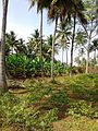
Hullahalli is a big village(Hobali) in Nanjangudu taluk, Mysore district, Karnataka state, India. It is surrounded by beautiful landscapes, rich in rivers, lakes, dams and ancient temples. Hullahalli paints a picture of the traditional rural life of Karnataka. As the name suggests, Hullahalli is a straw wasp. Kapila river flows widely around the village. The village is home to the ancient Varadaraja temple and Malleshwar on the south bank of the Kapila river.
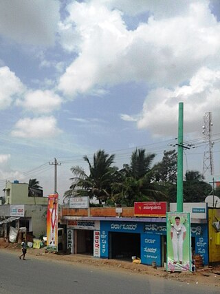
Kadakola is a Town and a suburb of Mysuru metropolitan area in the southern state of Karnataka, India. It is located in the Mysore taluk of Mysore district. In November 2020, Kadakola was upgraded from a Gram Panchayat to a Town Panchayat and a gazetted notification was passed on November 26, 2020.2. The combined population of the newly formed town is 19,969.

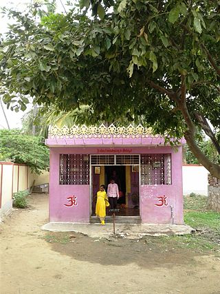
Sutturu is a village on the banks of the river Kapila, in the state of Karnataka, India. It is located in the Nanjangud taluk in the district of Mysore. It is famous for the Suttur Mutt which is one of the most prominent spiritual centres of India.
Varuna is a village in Mysore district of Karnataka state, India.

Sujathapuram is a village in Mysore district of Karnataka state, India.
Badanavalu is a village in Mysore district of Karnataka state, India.

Kavalande is a village in Nanjangud taluk, Mysore district of Karnataka state, India.
Badanaguppe is a village in Chamarajanagar district of Karnataka state, India.

Mukkadahalli is a village in Chamarajanagar district of Karnataka state, India.

Chinnadagudihundi is a village in Mysore district, Karnataka, India.

Konanur or Paduvalamarahalli is a village in Nanjangud taluk of Mysore district, Karnataka state, India.
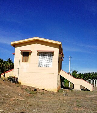
Mariyala-Gangawadi is a railway station on Mysore–Chamarajanagar branch line. The station is located in Chamarajanagara District, Karnataka state, India.

Kellamballi (kallahalli) is a small village in Chamarajanagar district of Karnataka state, India.
Keralapura is a village in Arkalgud taluk in the Hassan district of Karnataka state, India.
Akshaya Bhandar is a suburb of Mysore in Karnataka, India.