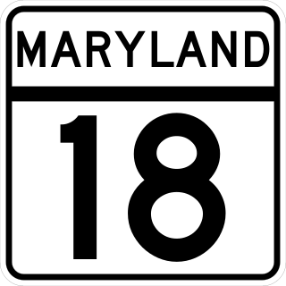
Maryland Route 18 (MD 18) is a state highway in the U.S. state of Maryland. The state highway runs 20.37 miles (32.78 km) from the beginning of state maintenance at Love Point east to MD 213 in Centreville. MD 18 is the main east–west local highway on Kent Island and east to Centreville, serving the centers of Stevensville, Chester, Kent Narrows, Grasonville, and Queenstown that are bypassed by U.S. Route 50 (US 50)/US 301. What is signed as MD 18 is actually a set of four suffixed highways: MD 18A, MD 18B, MD 18S, and MD 18C. There are also several unsigned segments of MD 18 scattered along the length of the signed portions.
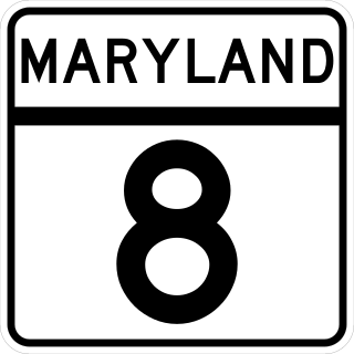
Maryland Route 8 is a state highway in the U.S. state of Maryland. Known for most of its length as Romancoke Road, the state highway runs 8.37 miles (13.47 km) from Romancoke Pier in Romancoke north to MD 18 in Stevensville. MD 8 is the main north–south highway of Kent Island in western Queen Anne's County. The state highway is also the first highway encountered on U.S. Route 50 /US 301 east of the Chesapeake Bay Bridge. South of Matapeake, MD 8 is paralleled by the Kent Island South Trail.
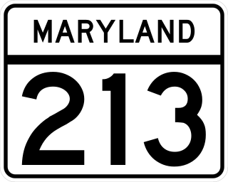
Maryland Route 213 (MD 213) is a 68.25-mile (109.84 km) state highway located on the Eastern Shore of Maryland in the United States. The route runs from MD 662 in Wye Mills, Queen Anne's County, north to the Pennsylvania border in Cecil County, where the road continues into that state as Pennsylvania Route 841 (PA 841). The route, which is a two-lane undivided highway most of its length, passes through mainly rural areas as well as the towns of Centreville, Chestertown, Galena, Cecilton, Chesapeake City, and Elkton. MD 213 intersects many routes including U.S. Route 50 (US 50) near Wye Mills, US 301 near Centreville, and US 40 in Elkton. It crosses over the Chesapeake & Delaware Canal in Chesapeake City on the Chesapeake City Bridge. MD 213 is designated by the state as the Chesapeake Country Scenic Byway between the southern terminus and Chesapeake City with the portion north of MD 18 in Centreville a National Scenic Byway. In addition, the route is also considered part of the Atlantic to Appalachians Scenic Byway between Chesapeake City and MD 273 in Fair Hill.
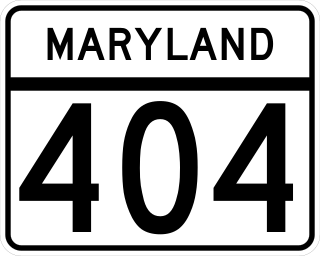
Maryland Route 404 (MD 404) is a major highway on Maryland's Eastern Shore in the United States. Signed east-west, it runs 24.61 miles (39.61 km) from MD 662 in Wye Mills on the border of Queen Anne's and Talbot counties, southeast to the Delaware state line in Caroline County, where the road continues as Delaware Route 404 (DE 404) to the Five Points intersection near Rehoboth Beach. The Maryland and Delaware state highways together cross the width of the Delmarva Peninsula and serve to connect the Baltimore–Washington Metropolitan Area by way of the Chesapeake Bay Bridge and U.S. Route 50 (US 50) with the Delaware Beaches. Along the way, MD 404 passes through mostly farmland and woodland as well as the towns of Queen Anne, Hillsboro, and Denton. The route is a four-lane divided highway between US 50 and east of Denton, with the remainder of the route a two-lane undivided road.
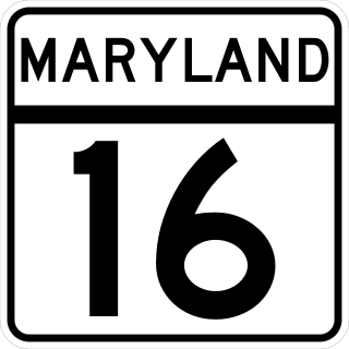
Maryland Route 16 (MD 16) is a state highway in the U.S. state of Maryland. The state highway runs 51.06 miles (82.17 km) from Taylors Island east to the Delaware state line in Hickman, where the highway continues as Delaware Route 16 (DE 16). MD 16 connects Cambridge with several communities in northern Dorchester County and southwestern Caroline County, including East New Market and Preston. The state highway runs concurrently with U.S. Route 50 (US 50) near Cambridge, MD 331 between East New Market and Preston, and both MD 404 and MD 313 near Andersontown. MD 16 was constructed between Church Creek and Preston as one of the original state roads in the early and mid-1910s. The highway was extended in both directions in the late 1910s: north to what was to be designated MD 313 near Denton and west to Taylors Island. MD 16 was extended through Andersontown to the Delaware state line in the early 1930s. MD 16's bypass of Cambridge was constructed in the mid-1960s.
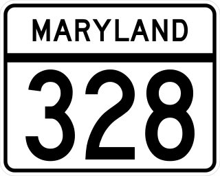
Maryland Route 328 is a state highway in the U.S. state of Maryland. The state highway runs 15.24 mi (24.53 km) from U.S. Route 50 in Easton east to just north of MD 404 in West Denton. MD 328 connects Easton with Denton, passing through eastern Talbot County and a neck of land in Caroline County between the Choptank River and Tuckahoe Creek. MD 328 was constructed in Talbot County in the late 1910s between downtown Easton and a point west of Matthews. The state highway was constructed in Caroline County in the late 1920s and early 1930s, and was originally designated MD 457. The gap between the two highways was filled in the late 1940s and included a modern bridge over Tuckahoe Creek. MD 328's western terminus was moved to US 50 in the early 1960s. In West Denton, the highway was relocated and extended north to present MD 404 in the early 1980s.
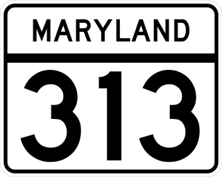
Maryland Route 313 (MD 313) is a state highway located on the Eastern Shore of Maryland in the United States. The 75.72-mile (121.86 km) route runs from U.S. Route 50 (US 50) in Mardela Springs, Wicomico County, north to MD 213 and MD 290 in Galena, Kent County. It is predominantly a rural two-lane undivided road that runs through agricultural areas a short distance west of the Delaware state line, with the exception of a four-lane divided bypass of Denton that is concurrent with MD 404. MD 313 serves many communities, including Sharptown, Eldorado, Federalsburg, Denton, Greensboro, Goldsboro, Barclay, Sudlersville, Millington, and Massey. The route intersects many major roads, including MD 54 in Mardela Springs, MD 404 in the Denton area, MD 302 in Barclay, MD 300 in Sudlersville, and US 301 near Massey.

Maryland Route 302 is a state highway in the U.S. state of Maryland. Known for most of its length as Barclay Road, the state highway runs 10.21 miles (16.43 km) from U.S. Route 301 near Barclay east to the Delaware state line near Templeville, where the highway continues northeast as Delaware Route 11. MD 302 follows the Queen Anne's–Caroline county line for part of its length near Templeville. The county line road is considered to be in Caroline County for maintenance purposes. MD 302 was first paved in Barclay in the early 1920s and from Templeville to the state line in the late 1920s. The gap between Barclay and Templeville was filled in the late 1930s. MD 302 was extended west toward Church Hill in the late 1940s and to US 301 in the mid-1960s.
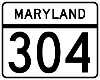
Maryland Route 304 is a state highway in the U.S. state of Maryland. The highway runs 15.23 miles (24.51 km) from Spider Web Road near Centreville east to MD 312 in Bridgetown. MD 304 connects Centreville with U.S. Route 301 and several small settlements in central Queen Anne's County and northern Caroline County, including Ruthsburg and Bridgetown. The first sections of modern MD 304 were improved in the 1910s, but much of the highway from Centreville to Ruthsburg was constructed from the mid-1930s to the early 1940s. The part of the highway west of Centreville was constructed as Maryland Route 606 and became part of MD 304 in 1950. Since the 1950s, the highway through Centreville has been municipally maintained. MD 304 was extended east to MD 405 and replaced that route to Bridgetown in the 1960s. The US 301 junction became a superstreet intersection in 2011 and a double-roundabout partial cloverleaf interchange in 2017.

Maryland Route 312 is a state highway in the U.S. state of Maryland. The state highway runs 11.41 miles (18.36 km) from MD 404 near Ridgely north to MD 313 at Baltimore Corner. MD 312 traverses northwestern Caroline County, connecting Ridgely with Bridgetown. The highway's first section was paved around Ridgely in the 1910s. The highway was completed from MD 404 to Ridgely in the mid-1920s and from north of Ridgely to Baltimore Corner in the late 1920s.
Maryland Route 802 is a state highway in the U.S. state of Maryland. Known as Batts Neck Road, the state highway runs 1.02 miles (1.64 km) as a north–south highway between junctions with MD 8 in Normans on Kent Island. MD 802 is the old alignment of MD 8 through Normans. The state highway was assigned after MD 8 was relocated by the early 1970s.
Maryland Route 33 is a state highway in the U.S. state of Maryland. The state highway runs 23.17 mi (37.29 km) from Tilghman Island east to Washington Street in Easton. MD 33 connects Easton, the county seat of Talbot County, with all communities on the peninsula that juts west into the Chesapeake Bay between the Miles River and Eastern Bay on the north and the Tred Avon River and Choptank River on the south. The state highway passes through the historic town of Saint Michaels, home of the Chesapeake Bay Maritime Museum, and enters Tilghman Island by passing over Knapps Narrows on the busiest bascule drawbridge in the United States.

Maryland Route 300 is a state highway in the U.S. state of Maryland. Known for most of its length as Sudlersville Road, the highway runs 13.55 miles (21.81 km) from MD 213 in Church Hill east through Sudlersville to the Delaware state line, where the highway continues as Delaware Route 300. MD 300 forms part of an east–west connection between U.S. Route 301 in northern Queen Anne's County and Dover, Delaware. MD 300 between Church Hill and Dudley Corners was one of the original state roads marked for improvement in 1909, but the county constructed the highway with state aid in the mid- to late-1910s from Church Hill to Sudlersville. The highway from Sudlersville to the state line was built in the late 1920s and early 1930s. MD 300 was widened over its entire length around 1950 and extended west to US 213's bypass of Church Hill around 1970. MD 300 was officially split in two when its superstreet intersection with US 301 was built in 2005.

Maryland Route 322 (MD 322) is a state highway in the U.S. state of Maryland. Known as Easton Parkway, the highway runs 5.12 miles (8.24 km) on the west side of Easton between two junctions with U.S. Route 50 (US 50). MD 322 serves as a bypass of downtown Easton for traffic between US 50 and highways to western Talbot County, including MD 33 toward Saint Michaels and Tilghman Island and MD 333 toward Oxford. Easton Parkway was constructed in the mid to late 1960s. The state highway was originally designated as part of MD 33; MD 322 became the sole designation on the bypass in 1978.
Maryland Route 662 is a collection of state highways in the U.S. state of Maryland. These highways are sections of old alignment of U.S. Route 50 between Easton and Wye Mills in Talbot County and Queen Anne's County. The three mainline sections of MD 662 pass through the villages of Longwoods, Skipton, and Wye Mills as they parallel US 50. The three main sections of MD 662 were designated in 1948 following the construction of US 50's bypasses of Easton and Wye Mills. MD 662C was extended south in Easton in the late 1990s.

Maryland Route 303 is a state highway in the U.S. state of Maryland. The state highway runs 4.20 miles (6.76 km) from MD 309 in Cordova north to MD 404 in Queen Anne. MD 303 is an reverse L-shaped highway that passes through the northeast corner of Talbot County and the southeast corner of Queen Anne's County. The state highway also passes very close to the birthplace of Frederick Douglass. MD 303 was originally designated along Starr Road between Queen Anne and U.S. Route 213 south of Centreville, while present MD 303 is part of the old alignment of MD 309. The original MD 303 was constructed in the late 1920s and early 1930s, with a gap near Starr filled in the late 1940s. MD 309 absorbed MD 303 in 1955. MD 303 was assigned to its present course in 1961.
Maryland Route 481 is a state highway in the U.S. state of Maryland. Known as Damsontown Road, the state highway runs 5.13 miles (8.26 km) from MD 309 near Queen Anne north to MD 304 in Ruthsburg. MD 481, which was constructed in the early 1930s, provides access to Tuckahoe State Park on its course through southeastern Queen Anne's County.

Maryland Route 405 is a state highway in the U.S. state of Maryland. Known as Price Station Road, the highway runs 8.59 miles (13.82 km) from MD 19 near Church Hill east to MD 304 near Bridgetown. MD 405 connects Church Hill and Bridgetown with the central Queen Anne's County community of Price, where the highway intersects U.S. Route 301. The highway was constructed from Price to south of Roe in the early 1930s and from Price to Church Hill in the mid-1930s. MD 405 was extended from Roe to the Caroline County line west of Bridgetown in the early 1940s. The highway was extended to Bridgetown in the late 1950s and truncated at its present eastern terminus when MD 304 was extended east to Bridgetown in the late 1960s.
Maryland Route 456 is a state highway in the U.S. state of Maryland. Known as Del Rhodes Avenue, the state highway runs 1.20 miles (1.93 km) from U.S. Route 50 north to MD 18 within Queenstown. MD 456, which serves as a cut-off between US 50 and US 301 just east of the split of the two highways, is officially separated into two sections, MD 456 and MD 456A, by a superstreet intersection with US 301. The state highway was constructed in the early 1930s as a cut-off between Queenstown and MD 404, then the main east–west highway in western Queen Anne's County. MD 456 was extended south in the late 1940s when US 50 was moved to its present course.
Maryland Route 675 is a collection of state highways in the U.S. state of Maryland. These two highways are sections of old alignment of U.S. Route 13 in Princess Anne in Somerset County and Delmar in northern Wicomico County. MD 675 was designated after US 13 bypassed Princess Anne in the late 1950s. MD 675B was assigned several years after US 13 bypassed Delmar in the mid-1950s. MD 675A existed in Pocomoke City before it was replaced by US 13 Business in the mid-1990s.


