
Bhadrachalam is a census town in the Indian state of Telangana, Bhadradri Kothagudem district. It is an important Hindu pilgrimage town with the Bhadrachalam Temple of Lord Rama, situated on the banks of Godavari river. It is located 312 kilometres (194 mi) from east of state capital, Hyderabad,115 kilometres (71 mi) from Khammam,192 kilometres (119 mi) from Vijayawada,177 kilometres (110 mi) from Suryapet, 180 kilometres (112 mi) from Warangal, 220 kilometres (137 mi), from the Andhra Pradesh State Capital Amaravathi, 350 kilometres (217 mi) from Visakhapatnam.

Nakrekal is a census town in Nalgonda district of the Indian state of Telangana. It is located in Nakrekal mandal in Nalgonda division..It is located about 26km from Suryapet and 29km from Nalgonda.

Nalgonda district is a district in the Telangana state of India. It has a population of 3,483,648, of which 13.32% is urban as of 2011. The district shares boundaries with Suryapet, Rangareddy, Bhuvanagiri, and Nagarkurnool districts, and with the state boundary of Andhra Pradesh.
Wadapally, formerly known as Vazeerabad, is situated in Nalgonda district of Telangana, India, near Miryalaguda. Wadapally comes under the assembly constituency of Miryalaguda, this town is 24 km from Miryalaguda town.
Huzurnagar is the third largest town in the Suryapet district of the Indian state of Telangana.Huzurnagar is a Municipality and the Mandal Headquarters of Huzurnagar Mandal . It is 54 km far away from the district Headquarters Suryapet.
Garidepally is a census town in the Suryapet district of Telangana, India. It is the headquarters of the Garidepally mandal of the Suryapet revenue division. It is located 33 kilometres from its district headquarters in Suryapet.
Munagala is a village in the Suryapet district in the state of Telangana. It is located in Munagala mandal of Kodad revenue division..It is 24km far away from the district headquarters Suryapet.
Damaracherla is a village in Nalgonda district, Telangana, India. It is located in Damaracherla mandal of Nalgonda division.
Penpahad is a village in Suryapet district of the Indian state of Telangana. It is the headquarters of Penpahad mandal of Suryapet division. It is located 18 km from district headquarters, Suryapet.
Chilkur (Chilkuru) is a census town in Suryapet district of the Indian state of Telangana. It is the headquarters of Chilkur mandal of Kodad revenue division. It is 50 km away from district headquarters, Suryapet and Lies between Kodad and Huzurnagar.
Nereducharla is a new municipality in Suryapet district of Telangana, India. It is located in Neredcherla mandal of Suryapet revenue division. It is about 38km from the district headquarters Suryapet.
Noothankal or Nuthankal is a village in Suryapet district of the Indian state of Telangana.It is located in Nuthankal mandal of Suryapet division in Suryapet district..It is located 25km from the district headquarters Suryapet.
Jajireddigudem is a village in Suryapet district of the Indian state of Telangana. It is located in Jajireddygudem mandal of Suryapet division..It is about 30 km from the district headquarters Suryapet.
Patharlapahad is a village in Athmakur (S) mandal, Suryapet district, state of Telangana, India. It is located along Suryapet and Warangal highway
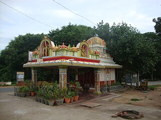
The following is a list of temples in Telangana:
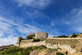
Telangana State Tourism Development Corporation (TSTDC) is a state government agency which promotes tourism in Telangana, a state in the Southern region of India. The retired Director General of Police Pervaram Ramulu is the appointed First chairman of Telangana State Tourism. Tourist attractions in Telangana include historical places, monuments, forts, water falls, forests and temples.
Bothalapalem is a village in Palakeedu mandal, Suryapet district in Telangana state, India. It is located 50 km from District headquarters, Suryapet and 15 km from Deccan cement Factory and Penna Cement Factory . The total population of the village is about 2,074 among which 55% are males. The number of voters in the village is 1,724.
Yadadri Bhuvanagiri district is a district in the Indian state of Telangana. The administrative headquarters is located at Bhongir. It was a part of the Nalgonda district before the re-organisation of districts in the state. The district shares boundaries with Suryapet, Nalgonda, Jangaon, Siddipet, Medchal, Rangareddy districts.

Suryapet district is a district in the Indian state of Telangana. The city of Suryapet is the district headquarters. The district shares boundaries with Nalgonda, Khammam, Yadadri, Jangaon and Mahabubabad districts and with Andhra Pradesh state.
Damaracherla is a village in Nalgonda district, Telangana, India. It is located in Damaracherla mandal of Nalgonda division.

