Kreuzlingen District is one of the five districts of the canton of Thurgau in Switzerland. It has a population of 49,760. Its capital is the city of Kreuzlingen.

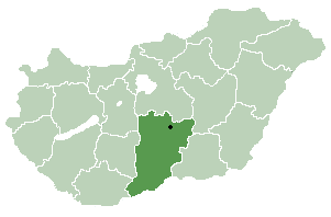
Pálmonostora is a village in Bács-Kiskun county, in the Southern Great Plain region of southern Hungary.

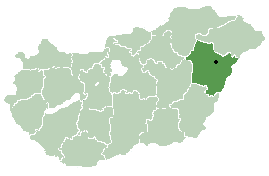
Körösszegapáti is a village in Hajdú-Bihar County, in the Northern Great Plain region of eastern Hungary.

Hermánszeg is a village in Szabolcs-Szatmár-Bereg county, in the Northern Great Plain region of eastern Hungary.

Penészlek is a village in Szabolcs-Szatmár-Bereg county, in the Northern Great Plain region of eastern Hungary.

Nemesborzova is a village in Szabolcs-Szatmár-Bereg county, in the Northern Great Plain region of eastern Hungary.

Kisszekeres is a village in Szabolcs-Szatmár-Bereg county, in the Northern Great Plain region of eastern Hungary.

Nyírderzs is a village in Szabolcs-Szatmár-Bereg county, in the Northern Great Plain region of eastern Hungary.
Káld is a village in Vas county, Hungary. It's 16 km far from Sárvár and 35 km far from Sümeg.
Pusztacsó is a village in Vas county, Hungary.
Vönöck is a village in Vas county, Hungary.
Gomba is a village in Pest county, Hungary.
Pánd is a village in Pest county, Hungary.

Szada is a village in Pest county, Budapest metropolitan area, Hungary.
Tatárszentgyörgy is a village in Pest county, Hungary.

The Hungarian Central Statistical Office is a quango responsible for collecting, processing and publishing statistics about Hungary, its economy, and its inhabitants. The office provides details for parliamentary and administrative offices, local councils and academia, financial institutions, the public at large and the media.

Pusztaszentlászló is a village in Zala County, Hungary.

Szijártóháza is a village in Zala County, Hungary.

Egyházasgerge is a village in Nógrád County, Hungary with 850 inhabitants (2001).

Garáb is a village in Nógrád County, Hungary with 49 inhabitants (2014). The name comes from Slavic languages grab: hornbeam. See also several Slavic placenames "Grab" with the same motivation.


