
U.S. Route 61 or U.S. Highway 61 (U.S. 61) is a major United States highway that extends 1,400 miles (2,300 km) between New Orleans, Louisiana and the city of Wyoming, Minnesota. The highway generally follows the course of the Mississippi River and is designated the Great River Road for much of its route. As of 2004, the highway's northern terminus in Wyoming, Minnesota, is at an intersection with Interstate 35 (I-35). Until 1991, the highway extended north on what is now Minnesota State Highway 61 through Duluth to the Canada–U.S. border near Grand Portage. Its southern terminus in New Orleans is at an intersection with U.S. Route 90. The route was an important south–north connection in the days before the interstate highway system.

U.S. Route 79 is a United States highway in the Southern United States. The route is officially considered and labeled as a north–south highway, but its path is actually more of a diagonal northeast–southwest highway. The highway's northern/eastern terminus is in Russellville, Kentucky, at an intersection with U.S. Route 68 and KY 80. Its southern/western terminus is in Round Rock, Texas, at an interchange with Interstate 35, ten miles (16 km) north of Austin. US 79, US 68, and Interstate 24/US 62 are the primary east–west access points for the Land Between the Lakes recreation area straddling the Kentucky/Tennessee border.

U.S. Route 65 is a north–south United States highway in the southern and midwestern United States. The southern terminus of the route is at U.S. Route 425 in Clayton, Louisiana. The northern terminus is at Interstate 35 just south of Interstate 90 in Albert Lea, Minnesota. Parts of its modern route in Iowa and historic route in Minnesota follow the old Jefferson Highway.
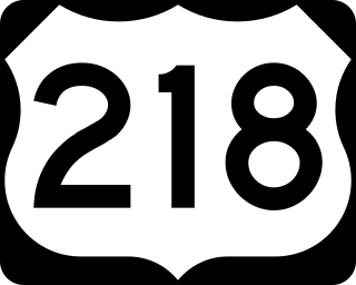
U.S. Highway 218 (US 218) is an original United States Highway that was created in 1926. Although technically a spur of US 18, US 218 neither begins nor ends at US 18, but overlaps US 18 for eight miles (13 km) near Charles City, Iowa. US 218 begins at U.S. 136 in downtown Keokuk and ends 319 miles (513 km) away at Interstate 35 (I-35) and US 14 at Owatonna, Minnesota. A large portion of US 218 in Iowa is part of the Avenue of the Saints, which connects St. Louis, Missouri, and Saint Paul, Minnesota.

Minnesota State Highway 55 is a state highway that runs 221 miles (356 km) across the central part of state taking a diagonal route from its western most at the North Dakota state line near Tenney to its easternmost point at the intersection with U.S. Highway 61 (US 61) in Hastings. In Minneapolis, portions of the route are also signed as Olson Memorial Highway.
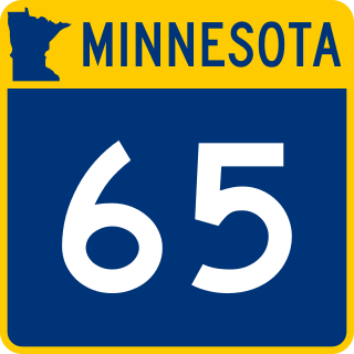
Minnesota State Highway 65 is a highway in the east–central and northeast parts of the U.S. state of Minnesota, which starts at its split from I-35W, skipping past the downtown Minneapolis core, only to resume at the intersection with Washington Avenue at the north end of downtown Minneapolis to continue north to its northern terminus at its intersection with U.S. Highway 71 (US 71) in Littlefork near International Falls.

Minnesota State Highway 23 (MN 23) is a state highway that stretches from southwestern to northeastern Minnesota. At 343.723 miles (553.169 km) in length, it is the second longest state route in Minnesota, after MN 1.

Minnesota State Highway 33 (MN 33) is a 19.748-mile (31.781 km) state highway in northeast Minnesota, which runs from its interchange with Interstate 35 (I-35) at Cloquet and continues to its northern terminus at its interchange with U.S. Highway 53 (US 53) at Independence. The highway is constructed as a four-lane expressway with a 65 mph (105 km/h) speed limit, except for a short distance through the city of Cloquet, where the route is located on a four-lane city surface street. MN 33 is a bypass of Duluth for travelers headed to the Iron Range of northern Minnesota and International Falls.

Minnesota State Highway 21 (MN 21) is a 38.370-mile-long (61.751 km) highway in Minnesota, which runs from its intersection with State Highway 60 in Faribault and continues north to its northern terminus at its interchange with U.S. Highway 169 in Jordan, southwest of Shakopee.
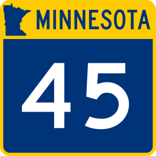
Minnesota State Highway 45 (MN 45) is a short 2.628-mile-long (4.229 km) highway in northeast Minnesota, which runs from its intersection with State Highway 210 and Carlton County Road 1 in the city of Carlton and continues north to its northern terminus at its interchange with Interstate 35 and Carlton County Highway 45 in the city of Scanlon. The route passes through the city of Carlton.

Minnesota State Highway 48 is a 23.527-mile-long (37.863 km) highway in east-central Minnesota, which runs from its interchange with Interstate Highway 35 in Hinckley and continues east to its eastern terminus at the Wisconsin state line, where it becomes Wisconsin Highway 77.

Minnesota State Highway 50 is a 15.082-mile-long (24.272 km) highway in Minnesota, which runs from its intersection with State Highway 3 and Dakota County Road 74 in Farmington and continues east to its eastern terminus at its intersection with U.S. 61 and State Highway 20 near Miesville.
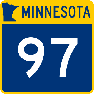
Minnesota State Highway 97 (MN 97) is a 13.173-mile-long (21.200 km) highway in Minnesota, which runs from its junction with Interstate 35 and Anoka County Road 23 in Columbus, near Forest Lake, and continues east to its eastern terminus at its intersection with State Highway 95 in Scandia, near Marine on St. Croix. MN 97 is also known as Scandia Trail.
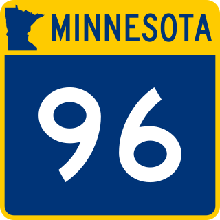
Minnesota State Highway 96 (MN 96) is a 10.179-mile-long (16.382 km) highway in Minnesota that runs from its intersection with U.S. Highway 61 in White Bear Lake and continues east to its eastern terminus at its intersection with State Highway 95 on the northern edge of Stillwater.

Minnesota State Highway 361 was a 7.281-mile-long (11.718 km) highway in east-central Minnesota, which ran from an interchange with Interstate 35 (I-35) in Rush City and continued briefly east and then north to MN 70 in Rock Creek. The roadway was formerly part of the U.S. Highway 61.

Minnesota State Highway 135 is a 36.160-mile-long (58.194 km) highway in northeast Minnesota, which runs from its interchange with U.S. Highway 53 in the city of Virginia and continues northeast to its northern terminus at its intersection with State Highway 1 in Tower.

Minnesota State Highway 194 is a 17.392-mile-long (27.990 km) highway in northeast Minnesota, which runs from its intersection with U.S. Highway 2 in Solway Township and continues east to its eastern terminus at its Mesaba Avenue interchange with Interstate Highway 35 in downtown Duluth. For part of its route, it runs together with U.S. Highway 53.

Interstate 35 (I-35) is a north–south Interstate Highway that stretches from Laredo, Texas, to Duluth, Minnesota. In the US state of Minnesota, I-35 enters from Iowa and heads north toward the twin cities of Minneapolis and Saint Paul. South of the metropolitan area, I-35 splits into two branches; I-35E runs through Saint Paul and I-35W through Minneapolis. These two branches rejoin north of the Twin Cities, and the highway continues north to Duluth, where it terminates at State Highway 61 (MN 61). The highway was authorized in 1956 and the first segment opened in 1958. It reached Duluth in 1971, and the final segment to east Duluth opened in 1992.

Minnesota State Highway 266 was a 13.860-mile-long (22.306 km) highway in southwest Minnesota that had connected the communities of Wilmont and Reading to the city of Worthington. It was decommissioned in 2004, and was renumbered Nobles County State-Aid Highway 25.

Hennepin County Road 61 or County State-Aid Highway 61 is a 24.853-mile-long (39.997 km) major route along the east side of Interstate 494 (I-494) in Hennepin County, Minnesota. The route travels through the west suburbs of the Twin Cities through Maple Grove, Plymouth, Minnetonka, Hopkins and Eden Prairie.

