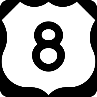
U.S. Highway 8 (US 8) is a United States Numbered Highway that runs primarily east–west for 280 miles (451 km), mostly within the state of Wisconsin. It connects Interstate 35 (I-35) in Forest Lake, Minnesota, to US 2 at Norway in the Upper Peninsula of Michigan near the border with Wisconsin. Except for the short freeway segment near Forest Lake, a section near the St. Croix River bridge, the interchange with US 51, and a three-mile (4.8 km) stretch west of Rhinelander, Wisconsin, it is mostly an undivided surface road. As a state highway in the three states, US 8 is maintained by the Minnesota, Wisconsin and Michigan departments of transportation.

U.S. Route 212 (US 212) is a spur of US 12. It runs for 949 miles (1,527 km) from Yellowstone National Park to Minnesota Highway 62 at Edina, Minnesota. It does not intersect US 12 now, but it once had an eastern terminus at US 12 in St. Paul, Minnesota. US 212 passes through the states of Minnesota, South Dakota, Wyoming, and Montana. It goes through the cities of Watertown, South Dakota and Billings, Montana.
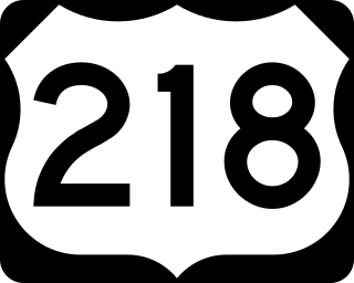
U.S. Highway 218 (US 218) is an original United States Highway that was created in 1926. Although technically a spur of US 18, US 218 neither begins nor ends at US 18, but overlaps US 18 for eight miles (13 km) near Charles City, Iowa. US 218 begins at U.S. 136 in downtown Keokuk and ends 319 miles (513 km) away at Interstate 35 (I-35) and US 14 at Owatonna, Minnesota. A large portion of US 218 in Iowa is part of the Avenue of the Saints, which connects St. Louis, Missouri, and Saint Paul, Minnesota.

Minnesota State Highway 7, or Trunk Highway 7, is a state highway in Minnesota, which runs from its intersection with MN 28 near Beardsley and continues east to its terminus with MN 100 and County Road 25 (CR 25) in St. Louis Park. The highway runs east–west for approximately 194.2 miles (312.5 km) through mostly rural farmland in the central part of the state. On its western end, it is part of the Minnesota River Valley Scenic Byway where it runs northwest–southeast along the Minnesota River and associated lakes near the border with the adjoining state of South Dakota. For roughly 24 miles (39 km) of its route, it runs concurrently with U.S. Highway 59 (US 59) between Appleton and Montevideo. In Montevideo, the highway turns to the east cutting across the state. It passes through several small towns before entering the Twin Cities metropolitan area. In the metro area, MN 7 follows an expressway through several suburbs before terminating in St. Louis Park. Two different segments have been listed on the National Highway System, system of roads considered important to the country.

Minnesota State Highway 33 (MN 33) is a 19.748-mile (31.781 km) state highway in northeast Minnesota, which runs from its interchange with Interstate 35 (I-35) at Cloquet and continues to its northern terminus at its interchange with U.S. Highway 53 (US 53) at Independence. The highway is constructed as a four-lane expressway with a 65 mph (105 km/h) speed limit, except for a short distance through the city of Cloquet, where the route is located on a four-lane city surface street. MN 33 is a bypass of Duluth for travelers headed to the Iron Range of northern Minnesota and International Falls.

Minnesota State Highway 58 (MN 58) is a 23.538-mile-long (37.881 km) highway in southeast Minnesota, which runs from its interchange with U.S. 52 / State Highway 60 (co-signed) in Zumbrota and continues north to its northern terminus at its intersection with U.S. Highway 61 in Red Wing.
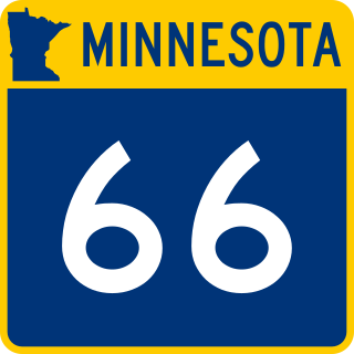
Minnesota State Highway 66 (MN 66) was a highway in south-central Minnesota, which ran from its intersection with Blue Earth County Roads 1 and 10 near Good Thunder and continued north to its northern terminus at its interchange with U.S. Highway 169 / State Highway 60 in the city of Mankato. The highway is currently known as Blue Earth County Road 1.
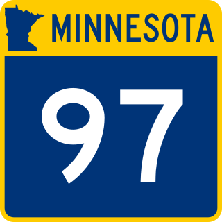
Minnesota State Highway 97 (MN 97) is a 13.173-mile-long (21.200 km) highway in Minnesota, which runs from its junction with Interstate 35 and Anoka County Road 23 in Columbus, near Forest Lake, and continues east to its eastern terminus at its intersection with State Highway 95 in Scandia, near Marine on St. Croix. MN 97 is also known as Scandia Trail.
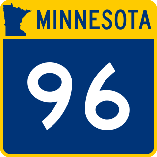
Minnesota State Highway 96 (MN 96) is a 10.179-mile-long (16.382 km) highway in Minnesota that runs from its intersection with U.S. Highway 61 in White Bear Lake and continues east to its eastern terminus at its intersection with State Highway 95 on the northern edge of Stillwater.

Minnesota State Highway 361 was a 7.281-mile-long (11.718 km) highway in east-central Minnesota, which ran from an interchange with Interstate 35 (I-35) in Rush City and continued briefly east and then north to MN 70 in Rock Creek. The roadway was formerly part of the U.S. Highway 61.

Minnesota State Highway 54 (MN 54) was a 10.851-mile-long (17.463 km) highway in west-central Minnesota, which ran from its intersection with State Highway 27 in Roseville Township of Grant County and continued north to its northern terminus at its intersection with U.S. Highway 59 / State Highway 55 (co-signed) in Elbow Lake. The route has a speed limit of 60 miles per hour (97 km/h) for its entire length.

Minnesota State Highway 284 (MN 284) is a 5.651-mile-long (9.094 km) highway in Minnesota, which runs from its intersection with U.S. Highway 212 in Cologne and continues to its northern terminus at its intersection with State Highway 5 in Waconia.

Minnesota State Highway 225 (MN 225) was a 8.809-mile-long (14.177 km) highway in north-central Minnesota, which ran from its intersection with County State-Aid Highway 26 and County Road 129 in the town of Ponsford south and east to its intersection with State Highway 34 in Osage Township of Becker County.

Minnesota State Highway 253 was a 6.472-mile-long (10.416 km) highway in south-central Minnesota, which ran from its intersection with Faribault County State-Aid Highway 2 in the city of Bricelyn and continued north to its northern terminus at its interchange with Interstate 90 in Brush Creek Township.

Minnesota State Highway 282 (MN 282) is a 7.655-mile-long (12.320 km) highway in Minnesota, which runs from its intersection with U.S. Highway 169 in Jordan and continues east to its eastern terminus at its intersection with State Highway 13 in Spring Lake Township near Prior Lake.

Minnesota State Highway 313 (MN 313) is a highway in northwest Minnesota, which runs from its intersection with State Highway 11 in Warroad and continues north to its northern terminus at the Canada–US border; where the route becomes Manitoba Highway 12 upon crossing the border, near the communities of Middlebro and Sprague, Manitoba.

U.S. Highway 10 (US 10) is a major divided highway for almost all of its length in the U.S. state of Minnesota. The route runs through the central portion of the state, following generally the alignment of the former Northern Pacific Railway and connects the cities of Moorhead, Detroit Lakes, Wadena, Little Falls, St. Cloud, Anoka, Saint Paul, and Cottage Grove. US 10 within Minnesota is 275 miles (443 km) in length.

U.S. Route 63 is a highway in southeastern Minnesota that runs from the Minnesota-Iowa border south of Spring Valley to the Mississippi River at Red Wing. It connects the cities of Spring Valley, Stewartville, Rochester, and Lake City.

U.S. Highway 61 (US 61) is a U.S. Highway in southeastern and east-central Minnesota, which runs from the Mississippi River Bridge at La Crescent and continues north to its northern terminus at its junction with Interstate 35 (I-35) at the city of Wyoming.

Minnesota State Highway 266 was a 13.860-mile-long (22.306 km) highway in southwest Minnesota that had connected the communities of Wilmont and Reading to the city of Worthington. It was decommissioned in 2004, and was renumbered Nobles County State-Aid Highway 25.

