
Nasirnagar is an upazila of Brahmanbaria District in Chattogram Division, Bangladesh.

Sreemangal is an upazila of Moulvibazar District. in Sylhet Division, Bangladesh. It is located at the southwest of the district, and borders the Habiganj District to the west and the Indian state of Tripura to the south. Sreemangal is often referred to as the 'tea capital' of Bangladesh, and is most famous for its tea fields. Other than tea, the rubber, pineapple, wood, betel, and lemon industries also exist in the upazila.

Gazipur Sadar is an upazila (sub-district) of the Gazipur District in central Bangladesh, part of the Dhaka Division.

Kaliakair is an upazila (sub-district) of the Gazipur District in central Bangladesh, part of the Dhaka Division.

Kashiani is an upazila of Gopalganj District in the Division of Dhaka, Bangladesh.
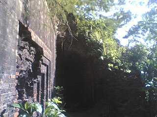
Muksudpur is an upazila of Gopalganj District in the Division of Dhaka, Bangladesh.
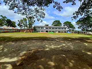
Ishwarganj is an administrative area in north-eastern Bangladesh. It is an upazila in Mymensingh District.
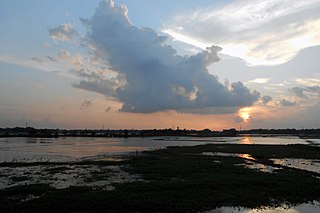
Raipura is an upazila of Narsingdi District in the Narsingdi District belonging to Dhaka Division. It is the second largest upazila of Bangladesh.

Gopalpur is an upazila of Tangail District in the Division of Dhaka, Bangladesh.

Mirzapur is an upazila of Tangail District in the division of Dhaka, Bangladesh.

Bagerhat Sadar is an upazila of Bagerhat District in the Division of Khulna, Bangladesh. The municipality was established in 1958. It consists of 9 wards and 31 mahallas.

Sherpur Upazila is an upazila of Bogra District in the Division of Rajshahi, Bangladesh. Sherpur Thana was established in 1962 and was converted into an upazila in 1983. It is named after its administrative center, the town of Sherpur. It is said that there once lived Sher family in the vicinity, from which the name "Sherpur" evolved.

Chatmohar is an upazila of Pabna District in the Division of Rajshahi, Bangladesh.
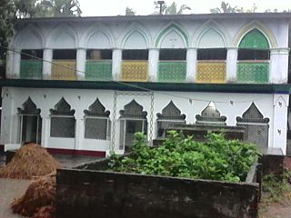
Santhia is an upazila of Pabna District in the Division of Rajshahi, Bangladesh.
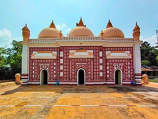
Atwari is an upazila of Panchagarh District in the Division of Rangpur, Bangladesh.

There are 8 divisions and 64 districts in Bangladesh, each district further subdivided into upazila. The area within each subdistrict, except for those in metropolitan areas, is divided into several unions, with each union consisting of multiple villages. Direct elections are held for each union, electing a chairperson and a number of members. In 1997, a parliamentary act was passed to reserve three seats in every union for female candidates. Following elections in the 2014–16 period, 25.2% of councillors were women, up from 23.4% in the 2011–13 period.
Shaharsree is a village in Mirzapur Union, Sreemangal Upazila, Moulvibazar District, Sylhet Division, Bangladesh.
Sagardari Union, is a union parishad of the Jessore District in the Division of Khulna, Bangladesh.
Mirzapur Union is a union parishad of Shailkupa Upazila, in Jhenaidah District, Khulna Division of Bangladesh. The union has an area of 34.87 square kilometres (13.46 sq mi) and as of 2001 had a population of 28,425. There are 27 villages and 15 mouzas in the union.
Mirzapur Union is a union parishad of Atwari Upazila, in Panchagarh District, Rangpur Division of Bangladesh. The union has an area of 96.76 square kilometres (37.36 sq mi) and as of 2001 had a population of 24,465. There are 36 villages and 12 mouzas in the union.


