
Route 100, also named Manchester Road through St. Louis County and Manchester Avenue and Chouteau Avenue through St. Louis City, is a state highway in the U.S. state of Missouri. It runs from Linn, Missouri at U.S. Route 50 to Interstate 55 in St. Louis. The highway is 121 miles (195 km) long.

U.S. Route 400 is a 481.306-mile-long (774.587 km) mostly east–west U.S. Highway, commissioned in 1994. The highway's western terminus is in Granada, Colorado, at an intersection with US 385. The highway's eastern terminus is southwest of Joplin, Missouri, near Loma Linda, at an interchange with Interstate 44, with which it shares with US 166. It originally ended in Garden City, Kansas; in 1996 it was extended to its current western terminus.

U.S. Route 166 (US 166) is a 164-mile (264 km) east–west United States highway. This route and US 266 are the only two remaining spurs of historic U.S. Route 66, since US 666 was renumbered to US 491 in 2003.

U.S. Route 275 (US 275) is a north–south United States highway that is a branch of US 75. It originally terminated at US 75 in Council Bluffs, Iowa. The highway's northern terminus is in O'Neill, Nebraska, at an intersection with U.S. Highway 20 and U.S. Highway 281. Its southern terminus is near Rock Port, Missouri, at an intersection with U.S. Highway 136.

U.S. Route 212 (US 212) is a spur of US 12. It runs for 949 miles (1,527 km) from Yellowstone National Park to Minnesota Highway 62 at Edina, Minnesota. It does not intersect US 12 now, but it once had an eastern terminus at US 12 in St. Paul, Minnesota. US 212 passes through the states of Minnesota, South Dakota, Wyoming, and Montana. It goes through the cities of Watertown, South Dakota and Billings, Montana.
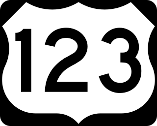
U.S. Route 123 is a spur of US 23 in the U.S. states of Georgia and South Carolina. The U.S. Highway runs 75.12 miles (120.89 km) from US 23, US 441, SR 15 and SR 365 near Clarkesville, Georgia, north and east to Interstate 385 Business in Greenville, South Carolina. US 123 parallels I-85 to the north as it connects the Northeast Georgia cities of Clarkesville and Toccoa with the western Upstate South Carolina communities of Westminster, Seneca, Clemson, Easley, and Greenville.

Route 39 is a two-lane highway in southwestern Missouri. Its northern terminus is at U.S. Route 54 between Collins and El Dorado Springs at the community of Cedar Springs; its southern terminus is at the Arkansas state line where it continues as Highway 221.

State Route 54 (SR 54) is a 70.5-mile-long (113.5 km) state highway that travels southwest-to-northeast through portions of Troup, Meriwether, Coweta, Fayette, Clayton, and Fulton counties in the northwestern part of the U.S. state of Georgia. The highway connects Hogansville with Atlanta, via Peachtree City, Fayetteville, Jonesboro, and Forest Park.

Louisiana Highway 3 (LA 3) is a state highway located in Bossier Parish, Louisiana. It runs 35.71 miles (57.47 km) in a north–south direction from the junction of Interstate 20 (I-20), U.S. Highway 71 (US 71), and LA 72 in Bossier City to the Arkansas state line north of Plain Dealing.
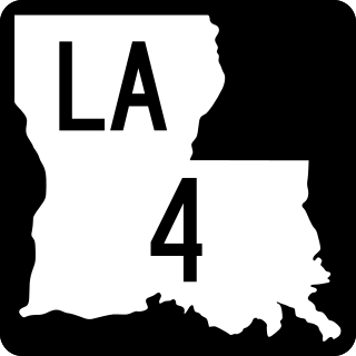
Louisiana Highway 4 (LA 4) is a state highway located in northern Louisiana. It runs 164.54 miles (264.80 km) in an east–west direction from U.S. Highway 71 (US 71) at Loggy Bayou to LA 605 in Newellton.

State Route 56 (SR 56) is an inverted question mark-shaped state highway that travels south-to-north, with a western loop around Vidalia. It is 140.3-mile-long (225.8 km) and travels through portions of Tattnall, Toombs, Montgomery, Treutlen, Emanuel, Burke, and Richmond counties in the southeastern and east-central parts of the U.S. state of Georgia. The route connects the Reidsville and Augusta areas, via Swainsboro and Waynesboro.

State Route 119 (SR 119) is an 81.2-mile-long (130.7 km) state highway that runs south-to-north in the east-central part of the U.S. state of Georgia. It runs from Riceboro to the Hinesville – Fort Stewart metropolitan area and curves to the northeast, through Pembroke and Springfield, and enters South Carolina north of Clyo, where the roadway continues as South Carolina Highway 119.

U.S. Route 70 is a transcontinental U.S. highway extending from Globe, Arizona to Atlantic, North Carolina. Along the way, 289.81 miles (466.40 km) of its route passes through the state of Oklahoma. Entering the state south of Davidson, the highway serves Oklahoma's southern tier before exiting the state east of Broken Bow. It serves the cities of Ardmore, Durant, Hugo, and Idabel, as well as Tillman, Cotton, Jefferson, Carter, Marshall, Bryan, Choctaw, and McCurtain counties.

Arkansas Highway 119 is a series of state highways that run in Northeast Arkansas. All routes are maintained by the Arkansas Department of Transportation (ArDOT).
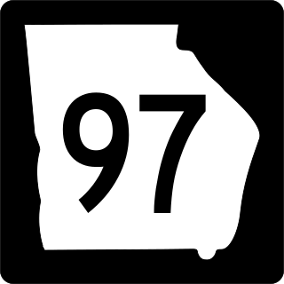
State Route 97 (SR 97) is a 57.2-mile-long (92.1 km) southwest-to-northeast state highway in the southwestern part of the U.S. state of Georgia. The highway's southern terminus is at the Florida state line, southwest of Faceville, where the roadway continues as County Road 269A to US 90 in Florida. Its northern terminus is at SR 37 in Camilla. The highway connects Faceville with Camilla, via Bainbridge, Vada, and Hopeful.

Interstate 35 (I-35) is an Interstate Highway in the US that runs from the Mexican border near Laredo, Texas, to Duluth, Minnesota. In Kansas, the highway goes from the Oklahoma border to Kansas City at the Missouri border, with a length of 235 miles (378 km). Along the way, I-35 passes through Wichita, the state's largest city, linking it to Emporia, Ottawa, and Kansas City and its Johnson County suburbs. The section of the route from the Oklahoma border to I-335 is part of the Kansas Turnpike.

Highway 78 is a designation for two state highways in the Arkansas Delta. One route of 24.03 miles (38.67 km) begins at Highway 306 near Hunter and runs southeast to US Highway 79 (US 79). A second route of 4.30 miles (6.92 km) begins at Highway 121 and runs west to a junction with Lee County Route 132 (CR 132) and CR 173. A short spur route in Moro, Highway 78 Spur connects the parent route to Highway 238. All routes are maintained by the Arkansas State Highway and Transportation Department (AHTD).

