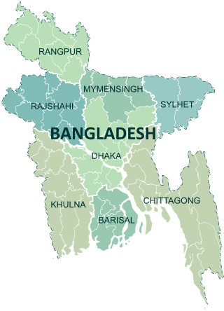
Divisions are the first-level administrative divisions in Bangladesh. As of 2023, there are eight divisions of Bangladesh, each named after the major city within its jurisdiction that also serves as the administrative seat of that division. Each division is divided into several districts which are further subdivided into upazilas, then union councils.

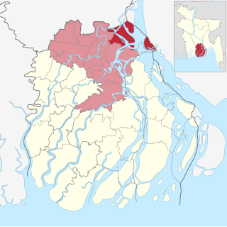
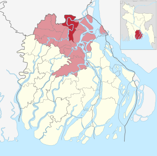
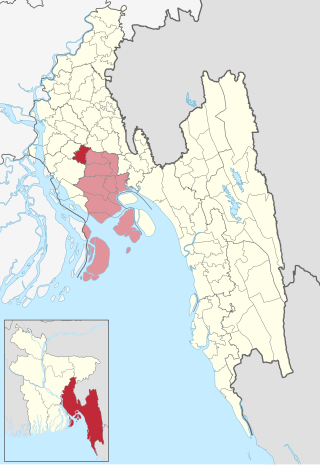
Lakshmipur is a district in Bangladesh with an area of 1,440 km2. It is bordered by Chandpur to the north, Bhola and Noakhali districts to the south, Noakhali to the east, and Barisal and Bhola districts to the west. Lakshmipur was part of Noakhali until 15 February 1984. At that time, the western part of Noakhali was promoted from Lakshmipur subdivision to Lakshmipur district to provide administrative facilities.

Bangladesh is divided into 8 divisions (bibhag) and 64 districts, although these have only a limited role in public policy. For the purposes of local government, the country is divided into upazilas (sub-districts), "municipalities" or town councils (pourashova), city corporations and union councils . The diagram below outlines the five tiers of government in Bangladesh.
Hizla is the largest upazila (sub-district) of southern Bangladesh's Barisal District.

Mehendigonj is an Upazila of Barisal District in Barisal Division, Bangladesh. Mehendigonj is popularly known as Patarhat by the local people.
Muladi is an Upazila of Barishal District in the Division of Barishal, Bangladesh.
Bhola Sadar is an upazila of Bhola District in Barisal Division, Bangladesh. It contains the district headquarters, Bhola.
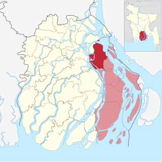
Chandanaish is an upazila of Chattogram District in Chattogram Division, Bangladesh.

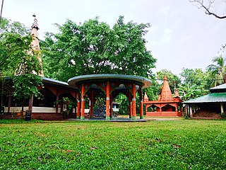
Lakshmipur or Laxmipur Sadar is an upazila of Lakshmipur District in Chittagong Division, Bangladesh.

Raipur is an upazila in Lakshmipur District, Chittagong Division, Bangladesh. It is surrounded by the upazilas of Faridganj, Ramganj, Lakshmipur Sadar, Mehendiganj and Haimchar, and on the west by the Meghna River. Raipur has 40,618 households, and covers an area of 201.32 square kilometres (77.73 sq mi).

Begumganj is an upazila of the Noakhali District in Bangladesh's Chittagong Division. Begumganj Thana, now an upazila, was established in 1892.

Ramgati is an upazila (sub-district) of Lakshmipur District in Bangladesh, part of the Chittagong Division. The Government of Bangladesh plans to build an airport in this upazila.
Chatkhil is an upazila of Noakhali District in Chittagong Division, Bangladesh. Chatkhil thana was formed in 1977 and was upgraded into an upazila in 1983.

Noakhali Sadar is an upazila of Noakhali District in the Division of Chittagong, Bangladesh. Noakhali Thana was established in 1861 and was converted into an upazila in 1984. The upazila takes its name from the district and the Bengali word sadar (headquarters). It is the subdistrict where the district headquarters, Noakhali town, is located. The town is situated on the western bank of the Noakhali Canal, from which it takes its name. The Noakhali Canal was dug in 1660 to control flooding of the river Dakatia. The name Noakhali means "New canal", derived from the Bengali words noa (new) and khal (canal).
Balaganj is an upazila of Sylhet District in Sylhet Division, Bangladesh.

Kotalipara is an upazila of Gopalganj District in the Division of Dhaka, Bangladesh.

Gosairhat is an upazila of Shariatpur District in the Division of Dhaka, in south central Bangladesh.

Ranisankail is an Upazila of Thakurgaon District in the Division of Rangpur, Bangladesh.

The divisions of Bangladesh are further divided into districts or zilas. The headquarters of a district is called the district seat. There are 64 districts in Bangladesh. The districts are further subdivided into 495 subdistricts or upazilas.

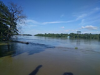
Rahmat Khali Canal, or Rahmatkhali river, is a canal that flows through Lakshmipur Sadar Upazila in Chittagong Division, Bangladesh.

