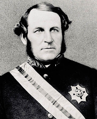
Sir George Ferguson Bowen, was an Irish author and colonial administrator whose appointments included postings to the Ionian Islands, Queensland, New Zealand, Victoria, Mauritius and Hong Kong.
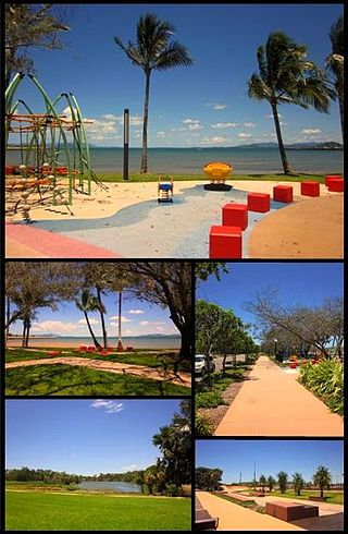
Bowen is a coastal town and locality in the Whitsunday Region, Queensland, Australia. In the 2016 census, the locality of Bowen had a population of 10,377 people.

Hinchinbrook Island is an island in the Cassowary Coast Region, Queensland, Australia. It lies east of Cardwell and north of Lucinda, separated from the north-eastern coast of Queensland by the narrow Hinchinbrook Channel. Hinchinbrook Island is part of the Great Barrier Reef Marine Park and wholly protected within the Hinchinbrook Island National Park, except for a small and abandoned resort. It is the largest island on the Great Barrier Reef. It is also the largest island national park in Australia.

Bowen Hills is an inner north-eastern suburb in the City of Brisbane, Queensland, Australia. In the 2021 census, Bowen Hills had a population of 4,898 people.

Mount Beerwah is the highest of the ten volcanic plugs in the Glass House Mountains range, 22 kilometres (14 mi) north of Caboolture in South East Queensland, Australia. It was formed 26 million years ago during the Oligocene Epoch of the Paleogene Period. Geologists estimate it may be only a third of its original height due to intense erosion.

Mount Nebo is a rural locality in the City of Moreton Bay, Queensland, Australia. In the 2021 census, Mount Nebo had a population of 430 people.
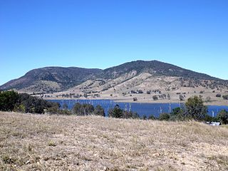
The D'Aguilar Range is a mountain range near Brisbane, Queensland, Australia. The town of Dayboro is situated on the lower foothills midway along the range and the Sunshine Coast Hinterland town of Mooloolah lies at the northernmost point of the range. Many residential areas line its eastern slopes including the town of Samford and the suburb of Ferny Hills. In the west, numerous ridges and gullies are heavily forested and designated as state forest or national park.

Mount Glorious is a rural locality in the City of Moreton Bay, Queensland, Australia. In the 2021 census, Mount Glorious had a population of 343 people.

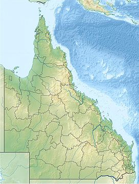
North Queensland or the Northern Region is the northern part of the Australian state of Queensland that lies just south of Far North Queensland. Queensland is a massive state, larger than many countries, and its tropical northern part has been historically remote and undeveloped, resulting in a distinctive regional character and identity.
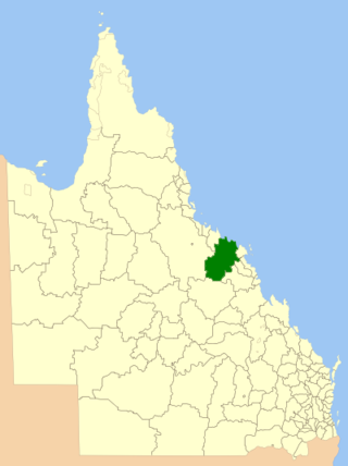
The Shire of Bowen was a local government area in the North Queensland region of Queensland, Australia. The shire, administered from the town of Bowen, covered an area of 21,184.4 square kilometres (8,179.3 sq mi), and existed as a local government entity from 1879 until 2008, when it amalgamated with the Shire of Whitsunday to form the Whitsunday Region.
Bowen Mountain, Mount Bowen, Bowenmount, may refer to:
Warren Macdonald is an Australian environmentalist, explorer, mountain climber, motivational speaker, and writer.

The Bogie River Hills is a subregion of the Brigalow Belt North in Queensland, Australia.
Mount Westall is a mount in Queensland, Australia. It was named on 21 August 1802 by Matthew Flinders. Flinders, who was commander of HMS Investigator, anchored in Port Bowen that day, he went ashore to explore with his party of scientists. He offered to name the highest visible point in the vicinity after whoever reached the top first. The landscape artist William Westall won, hence the name.
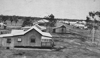
Mount Coolon is a rural town and locality in the Whitsunday Region, Queensland, Australia. In the 2016 census, the locality of Mount Coolon had a population of 64 people.

Springlands is a rural locality in the Whitsunday Region, Queensland, Australia.
Mount Wyatt is a mountain and rural locality in the Whitsunday Region, Queensland, Australia. In the 2021 census, Mount Wyatt had a population of 34 people.

Mount Stuart is a locality in the City of Townsville, Queensland, Australia. In the 2021 census, Mount Stuart had "no people or a very low population".
Humeburn is a locality in the Shire of Paroo, Queensland, Australia. In the 2021 census, Humeburn had a population of 9 people.

