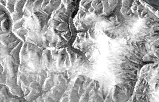
Frederick E. Hyde Fjord is a fjord in Peary Land, far northern Greenland.

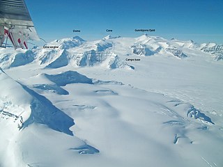
The Watkins Range is Greenland's highest mountain range. It is located in King Christian IX Land, Sermersooq municipality.

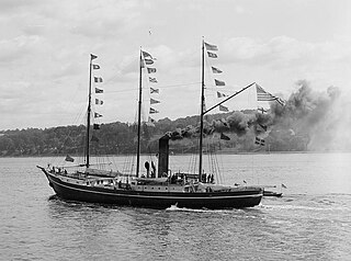
The Peary Arctic Club was an American-based club with the goal of promoting the Arctic expeditions of Robert Peary (1856–1920).
Payer Peak, is a mountain in King Christian X Land, Northeast Greenland. Administratively it is part of the Northeast Greenland National Park zone.
Petermann Peak,, also known as Petermann Fjeld, Petermanns Topp and Petermann Point is a mountain in King Christian X Land, Northeast Greenland. Administratively it is part of the Northeast Greenland National Park zone.
Kayser Mountain is a mountain in Hall Land, NW Greenland. Administratively it is part of the Northeast Greenland National Park. This peak was named after German geologist and paleontologist Emanuel Kayser.

Hellefisk Fjord is a fjord in Peary Land, northern Greenland. To the northeast, the fjord opens into the Wandel Sea of the Arctic Ocean.
Mount Wistar is a mountain in Peary Land, Northern Greenland. Administratively it is part of the Northeast Greenland National Park.

Nordkrone is a mountainous area in Peary Land, Northern Greenland. Administratively it is part of the Northeast Greenland National Park.

The Roosevelt Range or Roosevelt Mountains is a mountain range in Northern Greenland. Administratively this range is part of the Northeast Greenland National Park. Its highest peak is the highest point in Peary Land.

The H. H. Benedict Range or H. H. Benedict Mountains is a mountain range in Peary Land, Northern Greenland. Administratively this range is part of the Northeast Greenland National Park.

The Daly Range or Daly Mountains is a mountain range in Peary Land, Northern Greenland. Administratively this range is part of the Northeast Greenland National Park.

Wyckoff Land is an area or peninsula in Peary Land, Northern Greenland.

Cape Clarence Wyckoff, also known as Cape Wyckoff, is a broad headland in the Wandel Sea, Arctic Ocean, northernmost Greenland. Administratively it is part of the Northeast Greenland National Park.

Cape Henry Parish is a broad headland in the Wandel Sea, Arctic Ocean, northernmost Greenland. Administratively it is part of the Northeast Greenland National Park.

Herluf Trolle Land is an area in Peary Land, North Greenland. Administratively it is part of the Northeast Greenland National Park.


