| Mount Osuzu | |
|---|---|
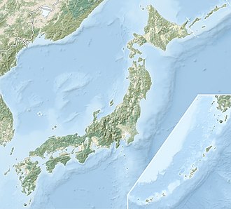
 | |
| Highest point | |
| Elevation | 1,405 m (4,610 ft) |
| Coordinates | 32°17′57″N131°25′36″E / 32.2993°N 131.4266°E |
| Geography | |
Mount Osuzu is a mountain on the Japanese island of Kyushu. Part of an ancient volcanic formation known as the Osuzuyama volcano-plutonic complex, the mountain experienced a massive eruption in ~15.1 Ma. The mountain currently falls in the boundaries of Osuzu Prefectural Natural Park. [1] [2]