Rajnandgaon is a city in Rajnandgaon District, in the state of Chhattisgarh, India. As of the 2011 census the population of the city was 163,122. Rajnandgaon district came into existence on 26 January 1973, as a result of the division of Durg district.

Porur is a neighbourhood of Chennai, India. It is situated in the Maduravoyal taluk of Chennai district in the southern part of the city. Since 2011, it has been a part of the Chennai Corporation and included in zone number 11.
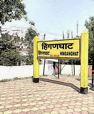
Hinganghat is a city in Wardha district of the Indian state of Maharashtra. The city is administered by a Municipal Council and is located about 35 km (22 mi) from Wardha and 72 km (45 mi) from Maharashtra's second capital Nagpur.
Darappur is a census town in the Chakdaha CD block in the Kalyani subdivision of the Nadia district in the state of West Bengal, India.
Deoli is a small town and a municipal council in Wardha district in the state of Maharashtra, India.
Dostpur is a town and a nagar panchayat in Sultanpur district in the state of Uttar Pradesh, India. The town borders Sultanpur and Ambedkarnagar. Purvanchal Expressway passes near the town.

Fatehpur Chaurasi is a town and a nagar panchayat in Unnao district in the state of Uttar Pradesh, India. First officially classified as a town for the 1981 census, Fatehpur Chaurasi is located on the north bank of the Kalyani river, a bit to the south of the main road from Unnao to Bangarmau. Local industries include the production of furniture, boxes, almirahs, shoes, and slippers. As of 2011, the town's population is 6,715, in 1,158 households.
Ghugus is a census town in Chandrapur district in the Indian state of Maharashtra.
Haldibari is a city and a municipality in the Mekhliganj subdivision of the Cooch Behar district in the Indian state of West Bengal.
Handia is a town, near the city of Prayagraj and a nagar panchayat in the Prayagraj district of the Indian state of Uttar Pradesh.
Narkhed is a town and a municipal council in Nagpur district in the Indian state of Maharashtra. It is about 87 km north-west of Nagpur. It is the administrative headquarters of Narkhed taluka, one of the 14 talukas of this district. It is located in the "orange belt" and is a major center for orange-trading.
Pandharkawda is a City and a Municipal council in Yavatmal district in the Indian state of Maharashtra. The Pandharkawada municipality won "Best Municipality at Amravati Division" in 2006 and a quality of education award in 2011. It is near the Saikheda Dam, an earthfill dam on the Khuni River..om live on pandharkawada
Parsadepur, also spelled Parshadepur, is a town and a nagar panchayat in Rae Bareli district in the Indian state of Uttar Pradesh. It is located on the north bank of the Sai river, at the crossroads between the road from Salon to Jais and the smaller road from Raebareli to Ateha. Historically noted for its large weaving industry, Parsadepur served as the headquarters of a pargana since the late 18th century. As of 2011, its population is 11,853 people, in 1,738 households.
Pinahat is a town and a nagar panchayat in Agra district in the Indian state of Uttar Pradesh and situated on the Bank of Chambal River. It is about 55 km from Agra. The distance between Pinahat and Chambal is only 2 km.
Rajura is a town and municipal council district of the Indian state of Maharashtra.
Sasti is a census town in Chandrapur district in the Indian state of Maharashtra.
Sindi Turf Hindnagar is a census town in Wardha district in the Indian state of Maharashtra.

Nelli-marla is a census town in Vizianagaram district of the Indian state of Andhra Pradesh. It is in Nellimarla mandal of Vizianagaram revenue division.
Sindi is a city and a municipal council in Wardha district. Sindi is also known as Pola city. Sindi railway station is important stop between Wardha-Nagpur central rail route.
Jalalkhera is a village in Nagpur district of Maharashtra, India. It connected with National Highway NH-353J. Also it is on the confluence of the Wardha and Jam rivers. It is situated 78 km from Nagpur, and the nearest railway stations are Mowad, Warud, Katol, Narkhed. The town is a tourist attraction as it has the Someshwar Fort Temple as well as the confluence of the two rivers. It is under Ramtek Loksabha Constituency and Katol Vidhan Sabha Constituency.
