| Wardha | |
|---|---|
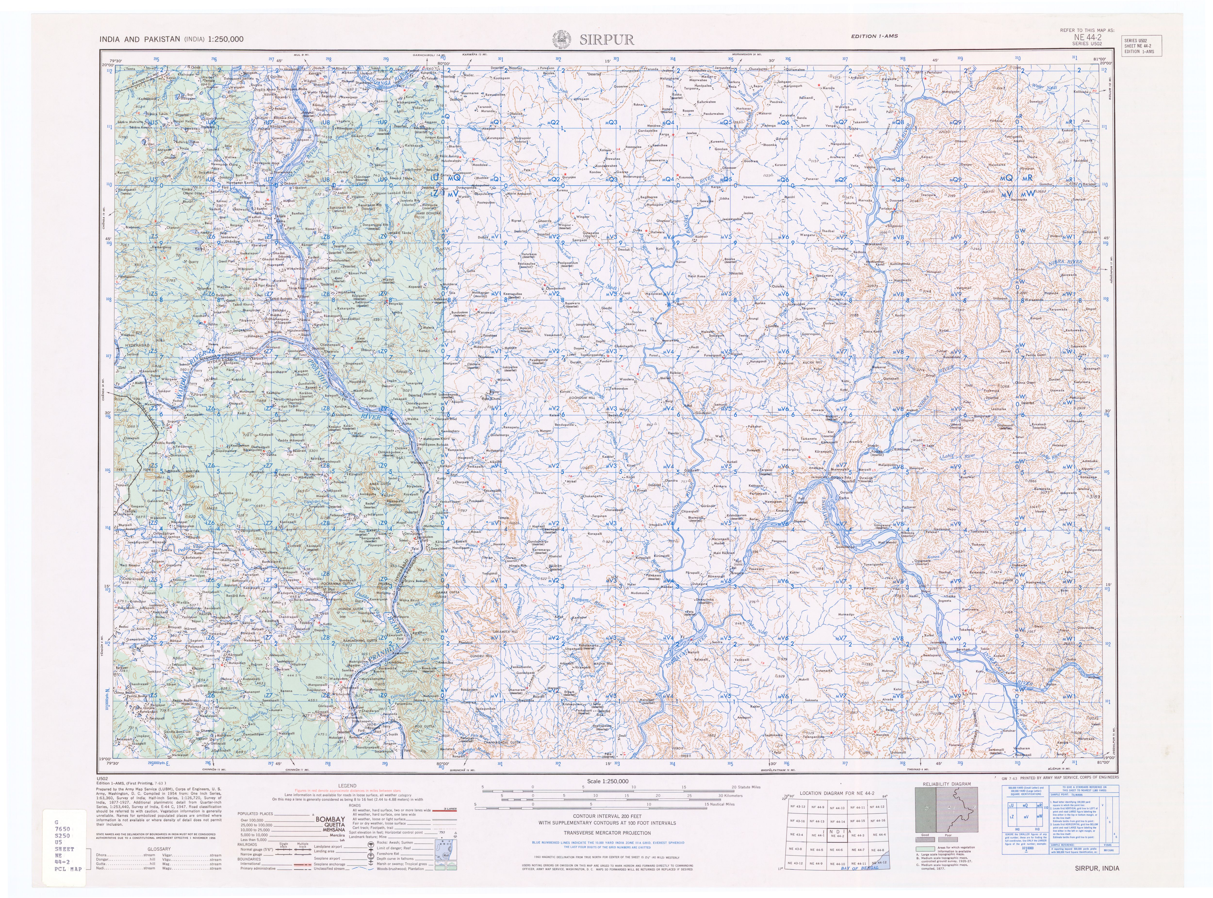
 Wardha river at Pulgaon | |
 | |
| Location | |
| Country | India |
| Physical characteristics | |
| Source | |
| • location | Multai |
| Mouth | |
• location | Pranahita |
| Length | 528 km (328 mi) |
| Basin features | |
| Progression | Madhya Pradesh, Maharashtra, Telangana |
| Tributaries | |
| • left | Kar, Wena, Jam, Erai |
| • right | Madu, Bembla, Penganga |
The Wardha River, also known as the Varada River, is a major river in Vidarbha, Maharashtra, India, which originates in the Satpura Range and flows into the Wainganga river to form the Pranhita river which finally joins the Godavari river. [1] [2] [3]


