Parvati River | |
---|---|
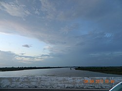
Parvati River in Baran | |
![]() | |
Location | |
Country | India |
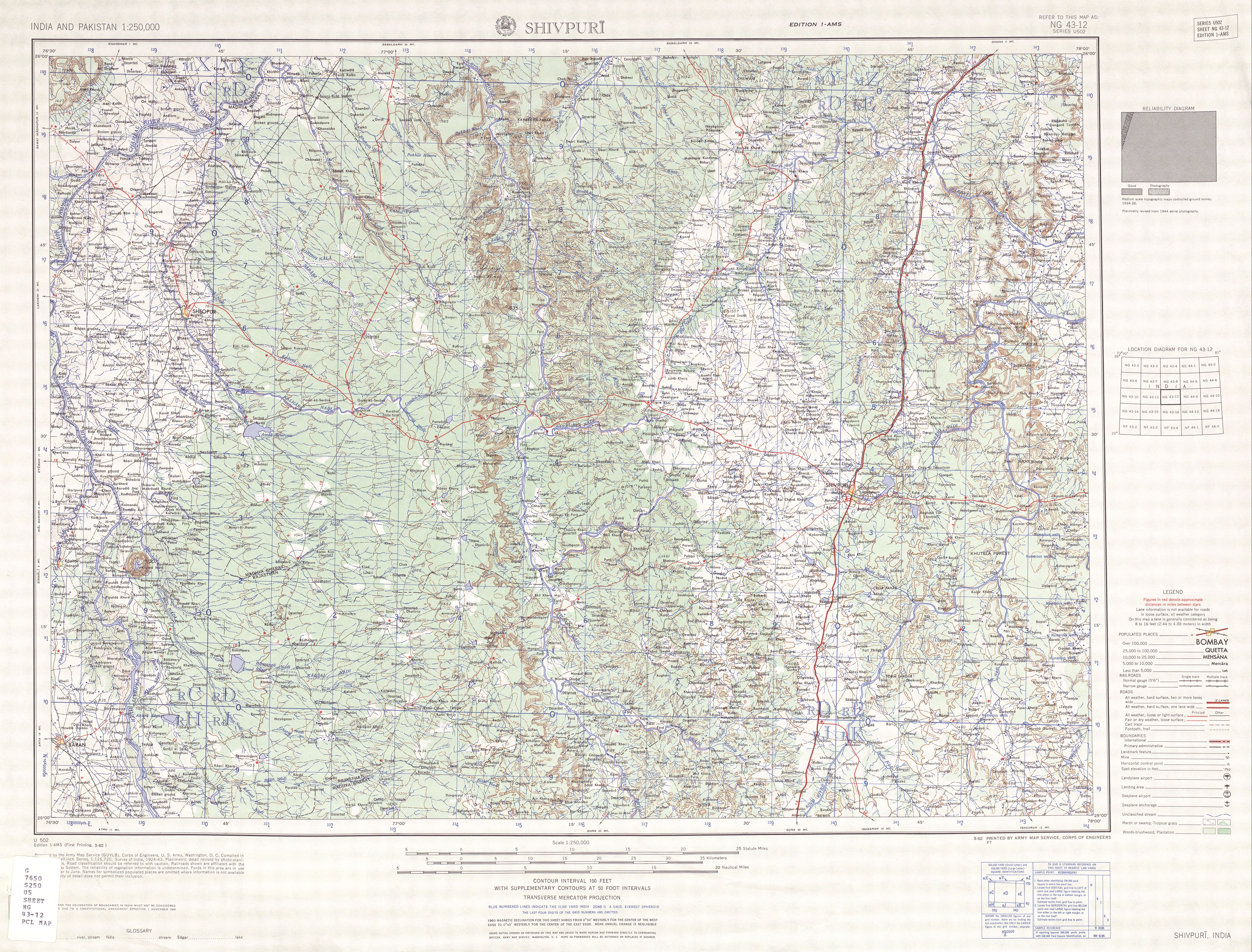
States | Madhya Pradesh and Rajasthan |
Physical characteristics | |
Source | Pithapura Lake near Siddikganj |
• location | Vindhya Range in Sehore District in Madhya Pradesh |
• elevation | 610 m (2,000 ft) |
Mouth | Chambal River |
• location | National Ghariyal Sanctuary near Palin village Sawai Madhopur District in Rajasthan |
Length | 436 km (271 mi) |
Parvati River is a river in Madhya Pradesh and Rajasthan, India that flows into the Chambal River. [1] The river rises at a height of 610 m in the Vindhya range in Sehore district Madhya Pradesh And flows in Sehore District, Rajgarh District, Guna District of Madhya Pradesh and then enters in Rajasthan and flows from Baran District and Sawai Madhopur District of Rajasthan where it falls into Chambal River in Sawai Madhopur District and runs for 436 km. [2] It is one of the Chambal River's three main tributaries, along with the Banas River and the Kali Sindh River. [3] Ramgarh crater is located on its eastern bank.[ citation needed ] Many small villages and tribes are situated on its bank, which utilise it for various purposes, such as irrigation, drinking, washing, etc.
In Rajgarh or Guna District of M.P., Parvati river is the main source of water for households and Agricultural uses. In Guna district, large number of people depend on its water.
The Chambal River is a tributary of the Yamuna River in Central and Northern India, and thus forms part of the drainage system of the Ganges. The river flows north-northeast through Madhya Pradesh, running for a brief time through Rajasthan, then forming the boundary between Rajasthan and Madhya Pradesh before turning southeast to join the Yamuna in Uttar Pradesh state.
Hadoti is a region of Rajasthan state in western India, which was once called the Bundi Kingdom. The biggest cities are Jhalawar and Kota. It includes the districts of Bundi, Baran, Jhalawar and Kota and is bounded on the west by the Mewar, on the northwest by Ajmer regions of Rajasthan, and on the south by the Malwa, on the east by the Gird regions of Madhya Pradesh state.
The Kali Sindh (Krashna Sindhu), is a river in Madhya Pradesh and Rajasthan in northern India. It is a tributary of the Chambal River in the Ganges Basin. The main tributaries of the Kali Sindh are the Parwan, Niwaj and Ahu rivers. The Kali Sindh River drains a major portion of the Malwa region, and is the biggest river flowing in the Malwa region of Madhya Pradesh.
The Banas is a river which lies entirely within the state of Rajasthan in western India. It is a tributary of the Chambal River, itself a tributary of the Yamuna, which in turn merges into the Ganga. The Banas is approximately 512 kilometres in length.
Sawai Madhopur district is a district in the Indian state of Rajasthan. Known for its historical and ecological significance, the district serves as an important cultural and tourism hub, featuring the renowned Ranthambore National Park and other heritage sites. The district headquarters is located in the city of Sawai Madhopur. Sawai Madhopur district falls under the Bharatpur Division.
Parbati River is a river in Madhya Pradesh and Rajasthan, India that flows into the Chambal River. The river rises at a height of 610 m in the Vindhya range in Sehore district Madhya Pradesh And flows in Sehore District, Rajgarh District, Guna District of Madhya Pradesh and then enters in Rajasthan and flows from Baran District and Sawai Madhopur District of Rajasthan where it falls into Chambal River in Sawai Madhopur District and runs for 436 km. It is one of the Chambal River's three main tributaries, along with the Banas River and the Kali Sindh River. Ramgarh crater is located on its eastern bank.
Guna District is one of the 52 districts of Madhya Pradesh in central India. Its administrative headquarters is Guna. The district has a population of 1,241,519. It has an area of 6390 km², and is bounded on the northeast by Shivpuri District, on the east by Ashoknagar District, on the southeast by Vidisha District, on the southwest by Rajgarh District, on the west and northwest by Jhalawar and Baran districts of Rajasthan state. The Sindh River flows northward along the eastern edge of the district, forming part of the boundary with Ashoknagar District, and the Parvati River flows northwestward through the southern portion of the district, forming part of the boundary with Baran District before flowing into Rajasthan.
Rajgarh District is a district of Madhya Pradesh in central India. The city of Rajgarh is the administrative headquarters of the district. The old name of Rajgarh was Jhanjhanipur. Rajgarh in Madhya Pradesh is one of the aspirational districts selected by Government of India. The district has an area of 6,154 km² and the population is 1,545,814. The district lies on the northern edge of the Malwa plateau, and the Parbati River forms the eastern boundary of the district, while the Kali Sindh River forms the western boundary. The district has seven tehsils, Rajgarh, Khilchipur, Jirapur, Biaora, Narsinghgarh, Sarangpur and Pachore. The district is bounded by Rajasthan state to the north, and by the districts of Guna to the northeast, Bhopal to the east, Sehore to the southeast, and Shajapur to the south and west. It is part of Bhopal Division. There are 1728 villages in Rajgarh.
Jhalawar district is one of the 50 districts of Rajasthan state in western India. The historical city of Jhalawar is the administrative headquarters of the Jhalawar district. The district is bounded on the northwest by Kota district, on the northeast by Baran district, on the east by Guna district of Madhya Pradesh state, on the south by Rajgarh district and Agar Malwa district of Madhya Pradesh state and on the west by Ratlam district and Mandsaur district of Madhya Pradesh state. The district occupies an area of 6219 km². The district is part of Kota division. To know more about Jhalawar City
Shivpuri District is a district of Madhya Pradesh state of India. The town of Shivpuri is the district headquarters. National Highway 3 (NH-3) runs through the district.
Sehore District is a district of Madhya Pradesh state in central India. The town of Sehore is the district headquarters. The district is part of Bhopal Division.
Sheopur is a city in Madhya Pradesh state of central India. It is the administrative headquarters of Sheopur District. Sheopur is linked by narrow gauge rail to Gwalior(No longer in operation). The town is traditionally famous for its wood carving. Chambal River is just 25 km, which forms the boundary between Rajasthan and MP states.
Aklera is a town and an Indian municipality in Jhalawar district in the state of Rajasthan. It is in the south-eastern region of Rajasthan at the edge of the Malwa plateau and has a rocky, scrub-covered terrain.
Ashta is a city and a municipality in Sehore district in the state of Madhya Pradesh, India.
Located in the heart of India, Biaora is a historic town that has played an important role in the region's cultural and economic development. With a population of around 40,000, the town is known for its beautiful architecture, rich history, and vibrant culture. In this article, we'll take a closer look at Biaora and what makes it such a special place to visit.
Raghogarh-Ruthiyai or Raghogarh-Vijaypur is a town and municipality in Guna district in the Indian state of Madhya Pradesh.
Khandar Fort is an ancient fort located in Khandar Tehsil, Sawai Madhopur district, Rajasthan, India. This fort is on the boundary of Ranthambore National Park. The fort has three big entrances, but they are damaged.
Khandar is a town and tehsil in district Sawai Madhopur, Rajasthan. The river Banas flows through Khandar.
Parban River originates in Madhya Pradesh and flows through Rajasthan. It is a tributary of the Kali Sindh. Parban/Parvan originates in Sehore district of Madhya Pradesh and flows through Sehore, Shajapur and Rajgarh districts in Madhya Pradesh. It also flows through Jhalawar, Kota, Baran districts of Rajasthan. Before it joins the Kali Sindh it cuts a 10 km long valley of significant depth right across Ratibar Dungar near Akawad Kalan in Jhalawar district. It meets Kali Sindh in Baran district of Rajasthan. Shergarh wildlife Sanctuary situated at the bank of Parban river in Baran district.
The Chambal is a geographical and cultural region in north-central India. It lies along the Chambal and Yamuna river valleys, in southeastern Rajasthan, southwestern Uttar Pradesh and northern Madhya Pradesh.
25°50′40″N76°33′48″E / 25.84444°N 76.56333°E