
Toggenburg is a region of Switzerland. It corresponds to the upper valley of the River Thur and that of the Necker, one of its afluents. Since 1 January 2003, Toggenburg has been a constituency (Wahlkreis) of the canton of St. Gallen.

Madulain is a municipality in the Maloja Region in the Swiss canton of Graubünden.

Goumoëns is a municipality in the district of Gros-de-Vaud in the canton of Vaud in Switzerland.

Bettmeralp is a municipality in the district of Raron in the canton of Valais in Switzerland. On 1 January 2014 the former municipalities of Betten and Martisberg merged into the municipality of Bettmeralp. Before the merger, Bettmeralp was the name of a village and ski resort in Betten.

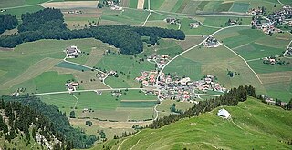
Tschiertschen-Praden is a former municipality in the Plessur Region in the Grisons, Switzerland. It was formed on 1 January 2009 through the merger of Praden and Tschiertschen. On 1 January 2025 the former municipality of Tschiertschen-Praden merged into the municipality of Chur.

Calanca is a municipality in the Moesa Region in the Swiss canton of Graubünden. On 1 January 2015 the former municipalities of Arvigo, Braggio, Cauco and Selma merged to form the new municipality of Calanca.
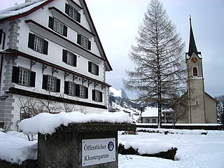
Wildhaus-Alt St. Johann is a municipality in the Wahlkreis (constituency) of Toggenburg in the canton of St. Gallen in Switzerland. It was formed on 1 January 2010 through the merger of Alt St. Johann and Wildhaus.

Valbroye is a municipality in the district of Broye-Vully in the canton of Vaud in Switzerland.
Montilliez is a municipality in the district of Gros-de-Vaud in the canton of Vaud in Switzerland.
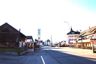
Val Terbi is a municipality in the district of Delémont in the canton of Jura in Switzerland. The municipalities of Montsevelier, Vermes and Vicques merged on 1 January 2013 into the new municipality of Val Terbi. On 1 January 2018 the former municipality of Corban merged into the municipality of Val Terbi.

Bütschwil-Ganterschwil is a municipality in the Wahlkreis (constituency) of Toggenburg in the canton of St. Gallen in Switzerland. On 1 January 2013 the former municipalities of Bütschwil and Ganterschwil merged to form the new municipality of Bütschwil-Ganterschwil.
Stocken-Höfen is a municipality in the administrative district of Thun in the canton of Bern in Switzerland. On 1 January 2014 the former municipalities of Niederstocken, Oberstocken and Höfen merged into the municipality of Stocken-Höfen.

Albula/Alvra is a municipality in the Albula Region in the canton of Graubünden in Switzerland. On 1 January 2015, the former municipalities of Alvaschein, Mon, Stierva, Tiefencastel, Alvaneu, Brienz/Brinzauls, and Surava merged to form the new municipality of Albula/Alvra.

Domleschg is a municipality in the Viamala Region in the Swiss canton of Graubünden. On 1 January 2015 the former municipalities of Almens, Paspels, Pratval, Rodels and Tomils merged to form the new municipality of Domleschg.
Gibloux is a municipality in the district of Sarine in the canton of Fribourg in Switzerland. The municipality was formed 1 January 2016, from the merger of Corpataux-Magnedens, Farvagny, Le Glèbe, Rossens and Vuisternens-en-Ogoz.

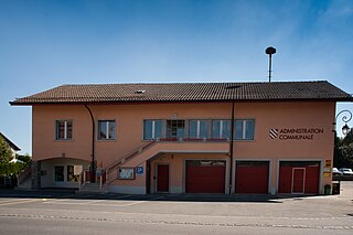
Belmont-Broye is a municipality in the district of Broye, in the canton of Fribourg, Switzerland. On 1 January 2016, the former municipalities of Domdidier, Dompierre, Léchelles and Russy merged to form Belmont-Broye.

Stammheim is a municipality in the district of Andelfingen in the canton of Zürich in Switzerland. On 1 January 2019 the former municipalities of Oberstammheim, Unterstammheim and Waltalingen merged into the new municipality of Stammheim.

Villaz is a municipality in the district of Glâne in the canton of Fribourg in Switzerland. On 1 January 2020 the former municipalities of Villaz-Saint-Pierre and La Folliaz merged to form the new municipality of Villaz.

Prez is a municipality in the district of Sarine in the canton of Fribourg in Switzerland. On 1 January 2020, the former municipalities of Corserey, Noréaz and Prez-vers-Noréaz merged to form the new municipality of Prez.

Hautemorges is a municipality in the Swiss canton of Vaud, located in the district of Morges.


