
Kirchberg am Walde is a town in the district of Gmünd in Lower Austria, Austria.

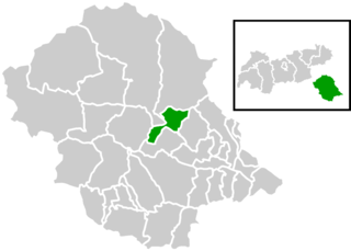
Maissau is a municipality in the district of Hollabrunn in Lower Austria, Austria.
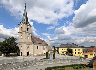
Weinzierl am Walde is a town in the district of Krems-Land in the Austrian state of Lower Austria.

Neukirchen am Großvenediger is a market town in the district of Zell am See, in the state of Salzburg in Austria. Neukirchen is at an altitude of 856 meters and its population is 2,616.
Sankt Johann im Walde is a municipality in the district of Lienz in the Austrian state of Tyrol.

Aspach is a municipality in the district Braunau am Inn in the Austrian state of Upper Austria.
Gilgenberg am Weilhart is a municipality in the district of Braunau am Inn in the Austrian state of Upper Austria.

Höhnhart is a municipality in the district of Braunau am Inn in the Austrian state of Upper Austria.

Neukirchen an der Enknach is a municipality in the district of Braunau am Inn in the Austrian state of Upper Austria.

Perwang am Grabensee is a municipality in the district of Braunau am Inn in the Austrian state of Upper Austria.
Pischelsdorf am Engelbach is a municipality in the district of Braunau am Inn in the Austrian state of Upper Austria.

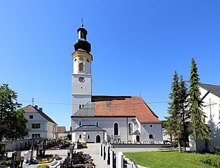
St. Johann am Walde is a municipality in the district of Braunau in the Austrian state of Upper Austria.

Kematen am Innbach is a municipality in the district of Grieskirchen in the Austrian state of Upper Austria.

Sankt Georgen am Walde is a municipality in the district of Perg in the Austrian state of Upper Austria.
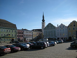
Obernberg am Inn is a municipality in the district of Ried im Innkreis in the Austrian state of Upper Austria.
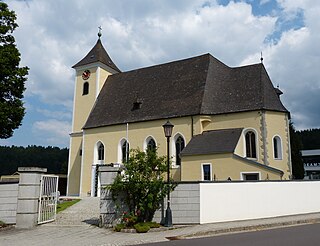
Sankt Stefan am Walde was a municipality in the district of Rohrbach in the Austrian state of Upper Austria.
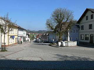
Sankt Peter am Wimberg is a municipality in the district of Rohrbach in the Austrian state of Upper Austria. It is located 173 km from Austria's capital city, Vienna. The municipality also observes Daylight saving time (DST).

Neukirchen an der Vöckla is a municipality in the district of Vöcklabruck in the Austrian state of Upper Austria.

Neukirchen bei Lambach is a municipality in the district of Wels-Land in the Austrian state of Upper Austria.

Sankt Jakob im Walde is a municipality in the district of Hartberg-Fürstenfeld in Styria, Austria.


