Dünserberg is a municipality in the district of Feldkirch in the Austrian state of Vorarlberg.

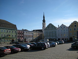
Perwang am Grabensee is a municipality in the district of Braunau am Inn in the Austrian state of Upper Austria.

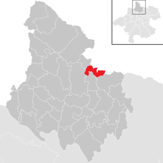
Pfaffstätt is a municipality in the district of Braunau am Inn in Austrian state of Upper Austria.
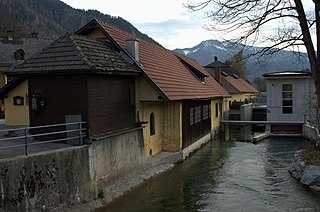
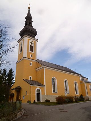
Scharnstein is a municipality in the district of Gmunden in the Austrian state of Upper Austria.

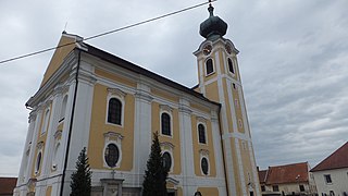
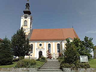
Gaspoltshofen is a municipality in the district of Grieskirchen in the Austrian state of Upper Austria.
Hofkirchen an der Trattnach is a municipality in the district of Grieskirchen in the Austrian state of Upper Austria.

Kematen am Innbach is a municipality in the district of Grieskirchen in the Austrian state of Upper Austria.

Rottenbach is a municipality in the district of Grieskirchen in the Austrian state of Upper Austria.
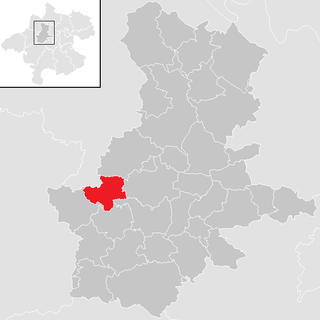
Wendling is a municipality in the district of Grieskirchen in the Austrian state of Upper Austria.
Obernberg am Inn is a municipality in the district of Ried im Innkreis in the Austrian state of Upper Austria.
Lichtenau im Mühlkreis is a municipality in the district of Rohrbach in the Austrian state of Upper Austria.
Altschwendt is a municipality in the district of Schärding in the Austrian state of Upper Austria.
Dorf an der Pram is a municipality in the district of Schärding in the Austrian state of Upper Austria.

Eggerding is a municipality in the district of Schärding in the Austrian state of Upper Austria.
Riedau is a municipality in the district of Schärding in the Austrian state of Upper Austria.

Taufkirchen an der Pram is a municipality in the district of Schärding in the Austrian state of Upper Austria.

Zell an der Pram is a town and a municipality in the district of Schärding in the Austrian state of Upper Austria.

Großraming is a municipality in the district of Steyr-Land in the Austrian state of Upper Austria.

Ottnang am Hausruck is a municipality in the district of Vöcklabruck in the Austrian state of Upper Austria.

St. Lorenz is a municipality in the district of Vöcklabruck in the Austrian state of Upper Austria.