
Interstate 80 (I-80) traverses the northern portion of the US state of Nevada. The freeway serves the Reno metropolitan area and passes through the towns of Fernley, Lovelock, Winnemucca, Battle Mountain, Carlin, Elko, Wells, and West Wendover on its way through the state.

State Route 221 is a state highway in Elko County, Nevada. The route, concurrent with Interstate 80 Business follows Chestnut Street in the city of Carlin. The highway was once part of the former route of State Route 1 and former U.S. Route 40 (US 40).
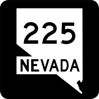
State Route 225 is a state highway in Elko County, Nevada, United States. Known as the Mountain City Highway, it connects the city of Elko to the town of Owyhee near the southwestern Idaho border via Mountain City. The route provides connections to Mountain Home, Idaho and Interstate 84 via Idaho State Highway 51.

State Route 227, most of which is more commonly known locally as Lamoille Highway, is a 20.134-mile-long (32.403 km) state highway in Elko County in northeastern Nevada.

State Route 228 (SR 228), also known as Jiggs Highway, is a 20.803-mile (33.479 km) state highway in Elko County, Nevada, United States, that connects Jiggs with Nevada State Route 227 in Spring Creek.

State Route 230 (SR 230) is a state highway central Elko County, Nevada, United States. It is a southern loop route off of Interstate 80 (I‑80) between Elko and Wells, serving the communities of Deeth and Welcome and various ranches within Starr Valley. The road follows a U-shaped path and passes close to the East Humboldt Range. The road was constructed by 1962, but was not designated as a state highway until 1992.

State Route 231 is an unsigned state highway in Elko County, Nevada, United States. Known as Angel Lake Road, the highway connects Angel Lake to the town of Wells. SR 231 is a Nevada Scenic Byway.

State Route 289 (SR 289) is a 1.637-mile (2.634 km) state highway in southern Humboldt County, Nevada, United States. The route serves the city of Winnemucca and the route's western end runs concurrent with Interstate 80 Business (I‑80 Bus.).

State Route 294 is a 7.973-mile (12.831 km) state highway in southeastern Humboldt County, Nevada, United States, that runs along the northernmost part of Grass Valley Road and connects Winnemucca with the Grass Valley area south of the town.
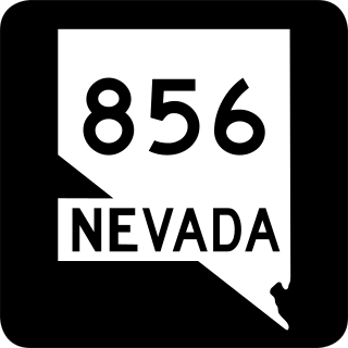
State Route 856 is a state highway in Pershing County, Nevada serving Lovelock. The western portion of the route is also signed as Interstate 80 Business.

State Route 398 is a state highway in Pershing County, Nevada serving the city of Lovelock. Part of the highway is former State Route 66.
State Route 535 (SR 535) is the Nevada Department of Transportation (NDOT) designation for two discontinuous sections of Idaho Street just west of and within the small city of Elko in the northeastern part of the U.S. state of Nevada. Both segments are also signed as Interstate 80 Business, which is also signed along the city-maintained segment of Idaho Street between the two NDOT segments as well as the city-maintained segment of Idaho Street east of the final eastern terminus all the way to East Jennings Way, from which it connects to the Elko East exit on Interstate 80. Most of Interstate 80 Business in Elko, including both segments of SR 535, were formerly designated U.S. Route 40.

State Route 46 (SR 46) is a 98.7-mile-long (158.8 km) state highway that travels west-to-east through portions of Dodge, Laurens, Wheeler, Treutlen, Emanuel, Candler, and Bulloch counties in the central part of the U.S. state of Georgia. The highway connects the Eastman area with the south-central part of Bulloch County. The highway closely parallels Interstate 16 (I-16) and serves local traffic.

State Route 57 (SR 57) is a 178.5-mile-long (287.3 km) state highway that travels northwest-to-southeast through portions of Bibb, Jones, Twiggs, Wilkinson, Washington, Johnson, Emanuel, Candler, Tattnall, Long, and McIntosh counties in the central and southeastern parts of the U.S. state of Georgia. The route connects the eastern part of the Macon area to the Eulonia area, via Swainsboro, Reidsville, & Glennville.

U.S. Route 395 Business is a north–south state highway in Reno, Nevada. The highway follows Virginia Street, the primary north–south arterial street of the area. US 395 is also designated as State Route 430 (SR 430) from its intersection with SR 659 to its northern terminus at US 395.
Interstate 80 Business is an Interstate business route in Humboldt County, Nevada. Serving the city of Winnemucca along Winnemucca Boulevard, I-80 Bus is also cosigned along portions of three other state highways through the city:
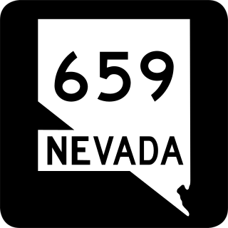
State Route 659 is a state highway in Washoe County, Nevada. The route follows McCarran Boulevard, an arterial ring road serving the cities of Reno and Sparks. The route provides access to many businesses and residential areas in the Truckee Meadows.
State Route 794 (SR 794) is a 2.439-mile (3.925 km)state highway in Humboldt County, Nevada, United States. The highway primarily serves as a connector road east of Winnemucca and, for all but the very east end of the route, SR 794 is concurrent with Interstate 80 Business as it runs along East Winnemucca Boulevard.


