
Congress is a village in Wayne County, Ohio, United States. The population was 185 at the 2010 census.
The Yangtze River power line crossings are overhead power lines that cross the Yangtze River in China. There are at least three power line crossings on the Yangtze River at Jiangyin, Nanjing, and Wuhu. The towers of the crossing in Jiangyin are among the highest in the world.
Wilczkowice Dolne is a village in the administrative district of Gmina Łęczyca, within Łęczyca County, Łódź Voivodeship, in central Poland. It lies approximately 4 kilometres (2 mi) west of Łęczyca and 38 km (24 mi) north-west of the regional capital Łódź.
Parski is a village in the administrative district of Gmina Świnice Warckie, within Łęczyca County, Łódź Voivodeship, in central Poland. It lies approximately 9 kilometres (6 mi) east of Świnice Warckie, 12 km (7 mi) west of Łęczyca, and 43 km (27 mi) north-west of the regional capital Łódź.
Nadrożne is a village in the administrative district of Gmina Kobiele Wielkie, within Radomsko County, Łódź Voivodeship, in central Poland.

Ghencea Cemetery is located in Ghencea neighbourhood of Bucharest, on Ghencea Boulevard, in Sector 6. The cemetery has two sections, civilian and military.
Wilamowo is a village in the administrative district of Gmina Kętrzyn, within Kętrzyn County, Warmian-Masurian Voivodeship, in northern Poland. It lies approximately 5 kilometres (3 mi) south-east of Kętrzyn and 68 km (42 mi) north-east of the regional capital Olsztyn.
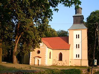
Karnice is a village in Gryfice County, West Pomeranian Voivodeship, in north-western Poland. It is the seat of the gmina called Gmina Karnice. It lies approximately 17 kilometres (11 mi) north-west of Gryfice and 76 km (47 mi) north-east of the regional capital Szczecin.

Glūda parish is an administrative unit of Jelgava Municipality in the Semigallia region of Latvia. The administrative center is Nākotne. It was an administrative unit of the Jelgava District.
Kandalica is a village in the municipality of Knjaževac, Serbia. According to the 2002 census, the village has a population of 52 people.

Skrobnica is a village in the municipality of Knjaževac, Serbia. According to the 2002 census, the village has a population of 178 people.
Pločnik is a village in the municipality of Doboj, Bosnia and Herzegovina.
Izumno is a village in the municipality of Vranje, Serbia. According to the 2002 census, the village has a population of 357 people.
Mala Daljegošta is a village in the municipality of Srebrenica, Bosnia and Herzegovina.
Potosi or Potosi Camp, was called Crystal City in the 1870s, a mining ghost town in Clark County, Nevada. It lies at an elevation of 5705 feet.
Cuba is an unincorporated community in Putnam County, in the U.S. state of Ohio.
Hisega is an unincorporated community in Pennington County, in the U.S. state of South Dakota.
Preobrazhenskaya is a rural locality and the administrative center of Kikvidzensky District of Volgograd Oblast, Russia. Population: 5,533 (2010 Census); 5,463 (2002 Census); 5,135 (1989 Census).
