
The English River is a river in Kenora District and Thunder Bay District in Northwestern Ontario, Canada. It flows through Lac Seul to join the Winnipeg River at Tetu Lake as a right tributary. The river is in the Hudson Bay drainage basin, is 615 kilometres (382 mi) long and has a drainage basin of 52,300 square kilometres (20,200 sq mi). Although there are several hydroelectric plants on this river, the English River upstream of Minnitaki Lake is notable as one of the few large river systems in northwestern Ontario with a natural flow and without any upstream source of pollution. It is the fourth longest river entirely in Ontario.

The Kenogami River is a river in the James Bay drainage basin in Thunder Bay and Cochrane districts in Northern Ontario, Canada, which flows north from Long Lake near Longlac to empty into the Albany River. The river is 320 kilometres (199 mi) in length and its name means "long water" in the Cree language. A portion of the river's headwaters have been diverted into the Lake Superior drainage basin.
The Bolton River is a river in the Hudson Bay drainage basin in Census Division No. 22 - Thompson-North Central, Northern Region, Manitoba, Canada. It is about 115 kilometres (71 mi) long and begins at Musketasonan Lake, about 20 kilometres (12 mi) south of Molson Lake, at an elevation of 249 metres (817 ft). It flows northeast through Little Bolton Lake at an elevation of 224 metres (735 ft), Rushforth Lake at an elevation of 218 metres (715 ft), Bolton Lake at an elevation of 212 metres (696 ft), where it takes in the right tributary Nikik River, and Kakwusis Lake at an elevation of 208 metres (682 ft). The river continues northeast over the twin Kasukwapiskechewak Rapids, then over the twin Kakwu Rapids, and empties into Aswapiswanan Lake at an elevation of 186 metres (610 ft), about 60 kilometres (37 mi) west southwest of the community of Gods Lake Narrows. The Bolton River's waters eventually flow into Gods Lake, and via the Gods River and the Hayes River into Hudson Bay.
The Whitefish River is a river in Census Division 21 in the Northern Region of Manitoba, Canada. It is in the Hudson Bay and Nelson River drainage basins and is a left tributary of the Saskatchewan River.

The Groundhog River is a river in Cochrane District and Sudbury District in Northeastern Ontario, Canada. The river is in the James Bay drainage basin and is a left tributary of the Mattagami River.

Minago River is a river in the Hudson Bay drainage basin in Northern Manitoba, Canada. It flows in a northeasterly direction from Moon Lake into the western end of Cross Lake on the Nelson River.
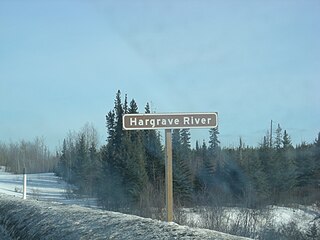
The Hargrave River is a river in the Hudson Bay drainage basin in Northern Manitoba, Canada. It flows in a southeasterly direction from its source at Hargrave Lake to Hill Lake on the Minago River, which flows into Cross Lake on the Nelson River.
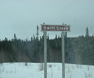
Swift Creek is a river in the Hudson Bay drainage basin in Northern Manitoba, Canada. It runs from an unnamed lake to the Nelson River, which it enters as a left tributary. The river flows under the Hudson Bay Railway, between the flag stops of Charlebois to the north and Amery to the south, just past its source; and under Manitoba Provincial Road 290 just before its mouth.
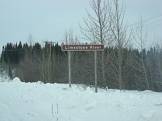
The Limestone River is a river in the Hudson Bay drainage basin in Northern Manitoba, Canada. Its flows from Sakawisew Bay on Limestone Lake to the Nelson River, just downstream from Limestone Generating Station and dam and adjacent to the Fox Lake Cree Nation and to the abandoned community of Sundance.
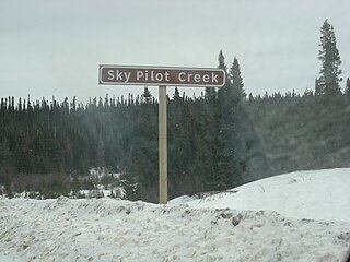
Sky Pilot Creek is a river in the Hudson Bay drainage basin in Northern Manitoba, Canada. It flows from Sky Pilot Lake to the Nelson River, which it enters as a left tributary immediately downstream of the Long Spruce Generating Station and dam. It passes twice under Manitoba Provincial Road 280: once near its source, and once just before its mouth.
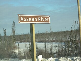
Assean River is a river in the Hudson Bay drainage basin in Northern Manitoba, Canada. Its flows from its source at Little Assean Lake to Clark Lake on the Nelson River.
Herchmer is an unincorporated area and community in Census division 23 in Northern Manitoba, Canada. It is on the Owl River, a tributary of Hudson Bay.
The Little Churchill River is a river in the Hudson Bay drainage basin in Northern Manitoba, Canada. It flows from Waskaiowaka Lake to the Churchill River.
The Weir River is a river in the Hudson Bay drainage basin in census division 23 in Northern Manitoba, Canada. Its flows from Weir Lake to the Nelson River as a left tributary, 70 kilometres (43 mi) upstream of that river's mouth at Hudson Bay.
Thibaudeau is an unincorporated area and railway point in Census division 23 in Northern Manitoba, Canada,.
The Broad River is a river in the Hudson Bay drainage basin in Census division 23 in Northern Manitoba, Canada. Its flows from an unnamed lake to Hudson Bay.
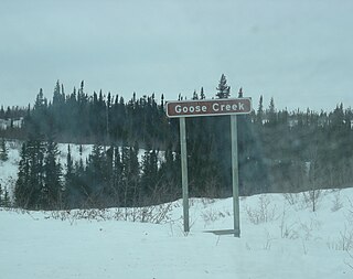
Goose Creek is a river in the Hudson Bay drainage basin in Northern Manitoba, Canada. It runs from an unnamed lake to the Nelson River, which it enters as a left tributary. The river flows under the Hudson Bay Railway, between the flag stops of Weir River to the north and Charlebois to the south, close to its source; and under Manitoba Provincial Road 290 just before its mouth.
A memorial site for Kailyn Danielson (2009-2021) is present near the dam.
The Deer River is a river in Census division 23 in Northern Manitoba, Canada. It is in the Hudson Bay drainage basin and is a right tributary of the Dog River.
The Dog River is a river in Census division 23 in Northern Manitoba, Canada. It is in the Hudson Bay drainage basin and is a right tributary of the Churchill River.
