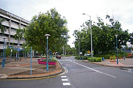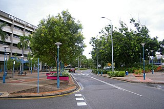
Palmerston is a planned satellite city of Darwin, the capital and largest city in Australia's Northern Territory. The city is situated approximately 20 kilometres from Darwin and 10 kilometres from Howard Springs and the surrounding rural areas. Palmerston had a population of 33,695 at the 2016 census, making it the second largest city in the Northern Territory.

Gordon Park is a northern suburb in the City of Brisbane, Queensland, Australia. In the 2016 census, Gordon Park had a population of 4,231 people.
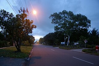
Larrakeyah is an inner suburb of Darwin, the capital city of Australia's Northern Territory. It was one of the first parts of the city to be developed, and borders the Darwin Central Business District. At the 2016 Census, there were 3,729 people in Larrakeyah. 54.9% of people were born in Australia. The next most common countries of birth were England 4.3%, Philippines 4.0% and New Zealand 2.7%. 66.0% of people spoke only English at home. The most common responses for religion were No Religion 31.8% and Catholic 23.5%. The suburb is located within the federal electorate of Solomon and the territory electorate of Port Darwin.

Medindie is an inner northern suburb of Adelaide the capital of South Australia. It is located adjacent to the Adelaide Park Lands, just north of North Adelaide, and is bounded by Robe Terrace to the south, Northcote Terrace to the east, Nottage Terrace to the north and Main North Road to the northwest.
Papaioea is a suburb of Palmerston North on New Zealand's North Island.

Gunn is an inner-city suburb of Palmerston, Northern Territory, Australia. It is 23 km southeast of the Darwin CBD. Its local government area is the City of Palmerston. Gunn is bounded to the north by the Temple Tce and Roystonea Ave, to the west is Chung Wah Terrace, and to the south is Lambrick Ave and East is Roystonea Ave. The suburb is mostly composed of developments from the 2000s to 2010s after Cyclone Tracy struck Darwin in 1974.

Archer is a relatively new and still sparsely populated suburb in the southwestern part of Palmerston. It is 25 km SE of the Darwin CBD and 5.4 km from Palmerston City. Its local government area is the City of Palmerston. Archer is the largest suburb of Palmerston by area.

Bakewell is an inner-city suburb of Palmerston, Australia. It is 24.9 km southeast of the Darwin CBD. Its local government area is the City of Palmerston. Bakewell is bounded to the north by Buscall Avenue, to the west is Chung Wah Terrace, and to the south and east is Lambrick Avenue. Development of the area dates from the 1990s. Bakewell is named after Edward Howard Bakewell, an original land owner.

Durack is an inner-city suburb of Palmerston. It is 22 km southeast of the Darwin CBD. Its local government area is the City of Palmerston. Durack is bound to the north by the Stuart Highway; to the west and south is University Avenue, and to the east is Roystonea Avenue. The suburb consists mostly of recent developments, beginning in the early 1990s, and includes three estates as designated by the developers of the area: Fairway Waters, The Mews, and The Heights.

Driver is an inner-city suburb of Palmerston. It is 23 km SE of the Darwin CBD. Its Local Government Area is the City of Palmerston. Durack is bounded to the north by University Ave, to the west Elrundie Avenue, to the east Temple Terrace and to the south Tilston Avenue. The suburb is mostly composed of developments from the early 1980s.

Farrar is an outer eastern suburb of Palmerston. It is 21 km SE of the Darwin CBD. Its Local Government Area is the City of Palmerston. Farrar is bounded to the north and east by the Stuart Highway, to the west Roystonea Avenue. Farrar was originally part of Gunn when Palmerston was divided into suburbs in 1984.
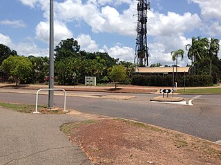
Gray is an inner-city suburb of Palmerston. It is 23 km southeast of the Darwin CBD. Its local government area is the City of Palmerston, and it is bounded to the north and west by Temple Terrace, to the east is Chung Wah Terrace, and to the south and east is Emery Avenue. Gray is named after William Henry Gray who was born in London in 1808 and who after becoming interested in the scheme of colonising South Australia in 1834.

Mitchell is a suburb in the Northern Territory of Australia located in the city of Palmerston about 18 kilometres (11 mi) south-east of Darwin City.

Moulden is an outer-city suburb of Palmerston, Australia. It is 24.9 kilometres (15.5 mi) southeast of the Darwin CBD by road, about 16 kilometres (9.9 mi) as the crow flies. Its local government area is the City of Palmerston. Moulden is bounded by Tilston Avenue in the north, Temple Terrace in the east, to the south is Chung Wah Terrace and Elrundie Avenue in the west.
Summerhill in Dumfries is a post war residential suburb on the west side of the town. It is located on the Maxwelltown side of the River Nith that runs through Dumfries. Summerhill is bounded by Terregles Road to the north, the streets that branch off Ellisland Drive to the east, the Dumfries and Galloway Golf Club to the south and west and also to the west by the disused Maxwelltown train station.

Woodroffe is an inner-city suburb of Palmerston. It is 25 km southeast of the Darwin CBD and 2.1 km from Palmerston City. Its local government area is the City of Palmerston.
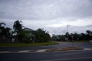
Rosebery is an outer southern suburb of Palmerston. It is located 26 km SE of the Darwin CBD. Its Local Government Area is the City of Palmerston.

Yarrawonga is an outer northern suburb of Palmerston. It is 21 km SE of the Darwin City and 2.1 km from Palmerston City. Its Local Government Area is the City of Palmerston.

Pinelands is an outer northern suburb of Palmerston, Northern Territory, Australia. It is 21 km southeast of the Darwin CBD and 2.1 km from Palmerston City. Its local government area is the City of Palmerston.

Johnston is a suburb of Palmerston, Northern Territory, Australia. It was named in commemoration of Commodore Eric Eugene Johnston, Northern Territory Administrator from 1981 to 1989. The suburb was registered on 3 April 2007.
