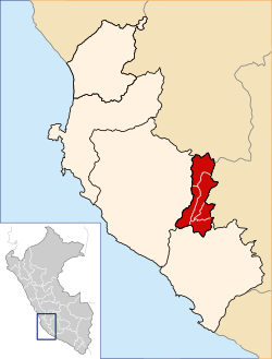
Palpa District, Peru

Last updated
Palpa
Location of the province Palpa in Ica.svg
Palpa District, Peru
Country Flag of Peru.svg  Peru
Region Ica
Province Palpa
Capital Palpa
Government
   Mayor Carlos Enrique Rivas Rivas
Area
  Total
147.44 km2 (56.93 sq mi)
Elevation
347 m (1,138 ft)
Population
  Total
7,326
  Density50/km2 (130/sq mi)
Time zone UTC-5 (PET)
UBIGEO 110401

Palpa District is one of five districts of the province Palpa in Peru. [1]

Climate

Climate data for Palpa, elevation 340 m (1,120 ft), (1991–2020)
MonthJanFebMarAprMayJunJulAugSepOctNovDecYear
Mean daily maximum °C (°F)34.2
(93.6)
34.7
(94.5)
34.8
(94.6)
33.4
(92.1)
31.1
(88.0)
28.3
(82.9)
27.5
(81.5)
28.6
(83.5)
30.4
(86.7)
31.7
(89.1)
32.6
(90.7)
33.6
(92.5)
31.7
(89.1)
Mean daily minimum °C (°F)19.2
(66.6)
19.9
(67.8)
18.9
(66.0)
16.3
(61.3)
12.4
(54.3)
9.9
(49.8)
8.2
(46.8)
8.2
(46.8)
9.8
(49.6)
11.8
(53.2)
13.2
(55.8)
16.6
(61.9)
13.7
(56.7)
Average precipitation mm (inches)2.7
(0.11)
1.7
(0.07)
0.7
(0.03)
0.1
(0.00)
0.1
(0.00)
0.1
(0.00)
0.1
(0.00)
0.1
(0.00)
0.1
(0.00)
0.1
(0.00)
0.0
(0.0)
0.2
(0.01)
6
(0.22)
Source: National Meteorology and Hydrology Service of Peru [2]

References

  1. (in Spanish) Instituto Nacional de Estadística e Informática. Banco de Información Distrital Archived 2008-04-23 at the Wayback Machine . Retrieved April 11, 2008.
  2. "Normales Climaticás Estándares y Medias 1991-2020". National Meteorology and Hydrology Service of Peru. Archived from the original on 21 August 2023. Retrieved 6 November 2023.

14°32′01″S75°11′07″W / 14.5337°S 75.1852°W / -14.5337; -75.1852