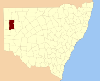
Indi, New South Wales, located at 29°48'45.0"S 143°24'00.0"E is a Parish of Ularara County in north west New South Wales. It is between Milparinka, New South Wales and Wilcannia.
Teltawongee is a remote civil parish located at 30.673056°S 141.952778°E in Mootwingee County western New South Wales.

Peppora is a station in west New South Wales about 440 km east-northeast of Adelaide, and about 800 km west of Sydney. Peppora is at an altitude of approximately 57m. Peppora is one of the westernmost homesteads in New South Wales. Peppora Stations is the traditional land of the Barkindji people.

Bengoro located at 31°02′54″S 142°08′20″ is a remote civil parish of Mootwingee County in far North West New South Wales.
Bimpia located at 30°47′21″S 142°03′46E is a remote civil parish of Mootwingee County in far North West New South Wales.

Booraboonara located at 31°25′02″S 141°44′53″E is a remote civil parish of Mootwingee County in far North West New South Wales.

Bomgadah located at 31°25′02″S 141°44′53″ is a remote civil parish of Mootwingee County in far North West New South Wales.
Boorla located at 30.968333°S 141.859167°E is a remote civil parish of Mootwingee County in far North West New South Wales.

Byngnano located at 31°05′55″S 142°18′50″E is a remote civil parish of Mootwingee County in far North West New South Wales. The Geography, of the Parish is mostly the flat, arid landscape of the Channel Country. The nearest town is Whitecliffs to the east.

Coyurunda located at 30°46′51″S 141°47′19″ is a remote civil parish of Mootwingee County in far North West New South Wales.

Langawirra is a remote civil parish of Mootwingee County in far North West New South Wales.

Kayrunnera located at 30.680278°S 142.401389°E is a remote civil parish of Mootwingee County in far North West New South Wales.
Noonthorangee located at 30°57′50″S 142°17′53″ is a remote civil parish of Mootwingee County in far North West New South Wales.

Morden located at 30°29′53″S 142°24′08″ is a remote civil parish of Mootwingee County in far North West New South Wales.

Kara Parish Located at 30°49′24″S 142°24′41″ is a remote civil parish of Mootwingee County in far North West New South Wales. The parish is on Mutawintji Road outside Mutawintji National Park and has mostly a flat, arid landscape. The parish has a Köppen climate classification of BWh.
Gooruba, New South Wales, located at 30°23′56″S 142°11′53″E, is a remote civil parish of Mootwingee County in far North West New South Wales.

Tucinyah is a remote civil parish of Mootwingee County in far North West New South Wales.

Walker Parish, New South Wales in Central Darling Shire is a civil parish of Yungnulgra County in far North West New South Wales.
Utah Parish, New South Wales is a remote rural locality and civil parish of Evelyn County, New South Wales in far northwest New South Wales.

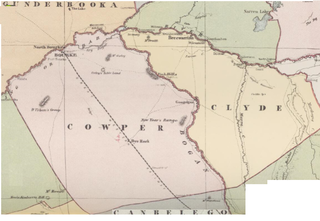
Maffra Parish, New South Wales is a Bounded locality of Bourke Shire and a civil Parish of Cowper County, New South Wales, a cadasteral division of central New South Wales.


