
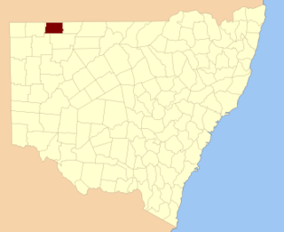
Yancowinna County is one of the 141 cadastral divisions of New South Wales.

Wakool County is one of the 141 cadastral divisions of New South Wales. The main geographic feature of the county is the Wakool River. The county contains the towns of Barham, Moulamein, Wakool and Kyalite.

Urana County is one of the 141 cadastral divisions of New South Wales. It contains the towns of Urana and Bidgeemia.

Taila County is one of the 141 cadastral divisions of New South Wales. It contains the town of Euston.

Arrawatta County, New South Wales is one of the 141 cadastral divisions of New South Wales. It includes Ashford. The name Arrawatta is thought to be derived from a local aboriginal word for the area that includes Arrawatta County.

Barrona County is one of the 141 cadastral divisions of New South Wales. It is bounded by the Warrego River in the east and the Paroo River in the west.

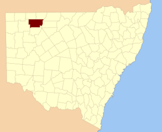
Benarba County is one of the 141 cadastral divisions of New South Wales.

Booroondarra County is one of the 141 cadastral divisions of New South Wales.

Canbelego County is one of the 141 cadastral divisions of New South Wales.

Courallie County is one of the 141 cadastral divisions of New South Wales.
Delalah County is one of the 141 cadastral divisions of New South Wales.

Irrara County is one of the 141 cadastral divisions of New South Wales. It is located south of the border with Queensland, east of the Paroo River, and west of the Warrego River.

Killara County is one of the 141 cadastral divisions of New South Wales. The Darling River is its south eastern boundary.

Narromine County is one of the 141 cadastral divisions of New South Wales. It is located between the Bogan River on the west and the Macquarie River on the east, in the area around Narromine.

Thoulcanna County is one of the 141 cadastral divisions of New South Wales. It is located south of the border with Queensland, to the west of the Paroo River near Wanaaring in the Bourke Shire.

Tongowoko County is one of the 141 cadastral divisions of New South Wales. It is located in the remote north-west of the state, south of the Queensland border.
Ularara County is one of the 141 cadastral divisions of New South Wales. It is located to the west of the Paroo River.

Yanda County is one of the 141 cadastral divisions of New South Wales. The Darling River is the north-western boundary.

Yantara County is one of the 141 cadastral divisions of New South Wales.

Yungnulgra County is one of the 141 cadastral divisions of New South Wales.

