Phnom Dei ឃុំភ្នំដី | |
|---|---|
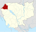
 Phnom Dei Map highlighting Phnom Dei | |
| Coordinates: 13°45′57″N103°22′59″E / 13.7657°N 103.3831°E | |
| Country | |
| Province | Banteay Meanchey |
| District | Phnom Srok District |
| Villages | 9 |
| Time zone | UTC+07 |
| Geocode | 010306 |
Phnom Dei is a khum (commune) of Phnom Srok District in Banteay Meanchey Province in western Cambodia. [1]