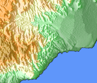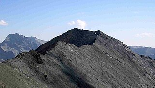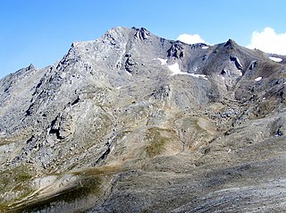
The Pyrenees is a mountain range between Spain and France. Reaching a height of 3,404 metres (11,168 ft) altitude at the peak of Aneto, it extends for about 491 km (305 mi) from its union with Cantabrian Mountains to the Mediterranean Sea.

Pic la Selle, also called Morne La Selle, is the highest peak in Haiti with a height of 2,680 metres (8,793 ft) above sea level. The mountain is part of the Chaîne de la Selle mountain range. It is located in the Ouest administrative department.
The massif des Cerces is a region of the French Alps on the Franco-Italian border. On the French side it lies in the departements of Hautes-Alpes and Savoie.

Morne Bois-Pin is the fourth highest mountain in Haiti. It is 2,235 metres (7,333 ft) above sea level. The three taller Haitian mountains are Pic la Selle, Pic Macaya, and Morne du Cibao.

Morne du Cibao is the third highest mountain in Haiti, after Pic la Selle and Pic Macaya. It is the highest point in the Montagnes du Cibao, and rises to an elevation of 2,280 metres (7,480 ft) above sea level.

Pic Macaya is the second-highest mountain in Haiti, rising to an elevation of 2,347 metres above sea level. It is located in the Massif de la Hotte, 36 kilometres northwest of Les Cayes and 195 km (121 mi) west of Port-au-Prince. The mountain is located in the Pic Macaya National Park.

Arnave is a commune in the Ariège department of southwestern France.

The Guinea Highlands is a densely forested mountainous plateau extending from central Guinea through northern Sierra Leone and Liberia to western Côte d'Ivoire. The highlands include a number of mountains, ranges and plateaus, including the Fouta Djallon highlands in central Guinea, the Loma Mountains in Sierra Leone, the Simandou and Kourandou massifs in southeastern Guinea, the Nimba Range at the border of Guinea, Liberia, and Côte d'Ivoire, and the Monts du Toura in western Côte d'Ivoire.

Pic de Sotllo is a mountain of the Montcalm Massif. Located in the Pyrenees, at the border between France and Spain, it has an altitude of 3,072 metres (10,079 ft) above sea level.

Pic Carlit is a mountain of Pyrénées-Orientales, France. Located in the Pyrenees, it has an elevation of 2,921 metres above sea level.

Mont d'Ambin or Rocca d'Ambin is a mountain on the border of Savoie, France and of the Province of Turin, Italy. It lies in the Ambin group of the Cottian Alps. On the Italian side, it commands the view of the Val di Susa. It has an elevation of 3,378 metres (11,083 ft) above sea level.

Mont Thabor is a mountain of Savoie and Hautes-Alpes, France. It lies in the Massif des Cerces range. It has an elevation of 3,178 metres above sea level, it stands closed to another summit, the Pic du Thabor, culminating at 3,207 metres above sea level.

Aiguille de Scolette or Pierre Menue is a mountain of Savoie (F) and of the province of Turin (I). It lies in the Cottian Alps and has an elevation of 3,506 metres above sea level.

The Montcalm Massif is a mountain massif located in the Pyrenees, at the border between France and Spain, it has an altitude of 3077 metres above sea level.

Pic du Gar is a mountain of the Pyrenees. It is located near Saint-Béat, Haute-Garonne département, in the Comminges natural region. The limestone mountain has an altitude of 1,785 metres (5,856 ft) above sea level.

The Mabla Mountains are a mountain range in the northern Obock and Tadjoura Region of Djibouti. The endemic Djibouti spurfowl makes its home here as well as in the Forêt du Day. With a mean height of 1370 metres, is the fifth highest point in Djibouti.

Pointe de Paumont or Cima del Vallone is a mountain of Savoie, France and of the Province of Turin, Italy. It lies in the Cottian Alps range. It has an elevation of 3,171 metres above sea level.

Punta Bagnà or Cime du Grand Vallon is a mountain of Savoie, France and of the Province of Turin, Italy. It lies in the Cottian Alps range. It has an elevation of 3,129 metres above sea level.

Punta Sommeiller or Pointe Sommeiller is a mountain of the Province of Turin, Italy and of Savoie, France. It lies in the Cottian Alps range. It has an elevation of 3,333 metres (10,935 ft) above sea level.

Rognosa d'Etiache or Rognosa d'Étache is a mountain in the Cottian Alps on the border of Turin, Italy, and Savoie, France. It has an elevation of 3,382 metres above sea level.


