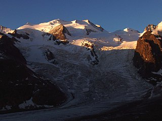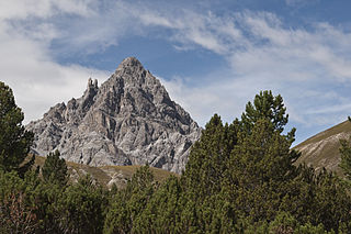
The Silvretta Alps are a mountain range of the Central Eastern Alps shared by Tirol, Vorarlberg and Graubünden (Switzerland). The Austrian states of Tirol and Vorarlberg are connected by a pass road. The majority of the peaks are elevated above three thousand metres and are surrounded by glaciers. Thus, the area is also known as the "Blue Silvretta".

Piz Buin is a mountain in the Silvretta range of the Alps on the border between Austria and Switzerland. It forms the border between the Swiss canton of Graubünden and the Austrian state of Vorarlberg and is the highest peak in Vorarlberg.

The Julier Pass is a mountain pass in Switzerland, in the Albula Alps. It connects the Engadin valley with central Graubünden, the nearest inhabited localities on its approaches being Silvaplana and Bivio. At its summit, the pass crosses the watershed / drainage divide between the basins of the rivers Rhine and Danube. The Julier Pass lies between Piz Lagrev and Piz Julier. A few metres south of the summit is the small lake Lej da las Culuonnas.

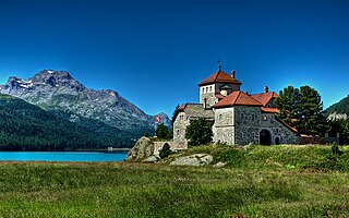
Lake Silvaplana is a lake in the Upper-Engadine valley of Grisons, Switzerland. It takes its name from the village of Silvaplana. The lake is also connected to the nearby Lej da Champfèr. Together with its larger neighbour, Lake Sils, it is among the largest lakes of the Grisons. Lake Silvaplana is overlooked by several mountains over 3,000 metres, notably Piz Corvatsch, Piz Julier and Piz Surlej. The lake's drainage basin culminates at Piz Corvatsch and comprises several glaciers, the largest being the Vadret dal Tremoggia.

Piz Chavalatsch is a mountain in the Ortler Range of the Alps of eastern Switzerland and northern Italy. It forms the border between the Swiss canton of Graubünden and the Italian Province of Bolzano.

Bellavista is a 3,921-metre (12,864 ft) mountain in the Bernina Range between Switzerland and Italy. The mountain is bounded on the east by the Fuorcla Bellavista and on the west by the Pass dal Zupò. There are four summits on the main ridge, at the heights of 3799, 3888, 3890, and 3921 m from east to west.

Lägh dal Lunghin is a lake at an elevation of 2484 m, below the peak of Piz Lunghin, in the Graubünden, Switzerland. It is considered the source of the Inn River.
Hahnensee is a lake above St. Moritz in the Grisons, Switzerland at 2153 m above sealevel.

Piz Corvatsch is a mountain in the Bernina Range of the Alps, overlooking Lake Sils and Lake Silvaplana in the Engadin region of the canton of Graubünden. With an elevation of 3,451 m (11,322 ft), it is the highest point on the range separating the main Inn valley from the Val Roseg. Aside from Piz Corvatsch, two other slightly lower summits make up the Corvatsch massif: Piz Murtèl and the unnamed summit where lies the Corvatsch upper cable car station. Politically, the summit of Piz Corvatsch is shared between the municipalities of Sils im Engadin/Segl and Samedan, although the 3,303 m high summit lies between the municipalities of Silvaplana and Samedan. The tripoint between the aforementioned municipalities is the summit of Piz Murtèl.

Piz Argient is a mountain in the Bernina Range of the Alps on the border between Italy and the Swiss canton of Graubünden.

Piz dal Ras is a mountain of the Albula Alps, located in west of Susch in the canton of Graubünden.
Piz da l'Acqua is a mountain of the Livigno Alps, located on the border between Italy and Switzerland. The northern side of the mountain (Graubünden) is part of the Swiss National Park. The southern side of the mountain (Lombardy) is part of the Stelvio National Park. The mountain overlooks the Lago di Livigno on its eastern side.

Piz Plavna Dadaint is a mountain in the Sesvenna Range of the Alps, located between the Val Sampuoir and the Val Plavna in the canton of Graubünden.
Piz dal Diavel is a mountain of the Livigno Alps, located in Graubünden, Switzerland. It is part of the Swiss National Park.
Point Lay LRRS Airport is a public and military use airport owned by the United States Government and located in Point Lay, in the North Slope Borough of the U.S. state of Alaska. It is also known as Point Lay Airport. The acronym LRRS stands for Long Range Radar Site or Long Range Radar Station.

The Gotthard Massif or Saint-Gotthard Massif is a mountain range in the Alps in Switzerland, located at the border of four cantons: Valais, Ticino, Uri and Graubünden. It is delimited by the Nufenen Pass on the west, by the Furka Pass and the Oberalp Pass on the north and by the Lukmanier Pass on the east. The eponymous Gotthard Pass, lying at the heart of the massif, is the main route from north to south.
Piz dal Fuorn is a mountain in the Sesvenna Range of the Alps, overlooking Il Fuorn in the canton of Graubünden.
Piz Sampuoir is a mountain in the Sesvenna Range of the Alps, located north of Il Fuorn in the canton of Graubünden. Its summit is the tripoint between the Val Sampuoir, the Val dal Spöl and the Val Plavna.
The following is a list of Romansh exonyms, that is to say Romansh-language names for towns and cities that do not speak Romansh.

Val Fex is a southern side valley from the Upper Engadine in Switzerland, located at an altitude of around 1,800 to 2,000 metres above sea level. It belongs to the municipality of Sils im Engadin/Segl.


