References
- ↑ U.S. Geological Survey Geographic Names Information System: Potomac, West Virginia
- ↑ "Post Offices". Jim Forte Postal History. Retrieved May 2, 2016.
- ↑ Kenny, Hamill (1945). West Virginia Place Names: Their Origin and Meaning, Including the Nomenclature of the Streams and Mountains. Piedmont, WV: The Place Name Press. p. 502.
Municipalities and communities of Ohio County, West Virginia, United States | ||
|---|---|---|
| City | 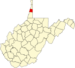 | |
| Towns | ||
| Villages | ||
| Unincorporated communities | ||
| Footnotes | ‡This populated place also has portions in an adjacent county or counties | |
40°09′10″N80°31′45″W / 40.15278°N 80.52917°W
| | This article about a location in Ohio County, West Virginia is a stub. You can help Wikipedia by expanding it. |