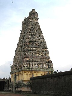
Swamimalai is a panchayat town that is a suburb near Kumbakonam in Thanjavur District in the Indian state of Tamil Nadu. It lies on the banks of river Kaveri and is one of the six abodes of the Lord Muruga.

Porur is a neighbourhood of Chennai, India. It is situated in the Maduravoyal taluk of Chennai district in the southern part of the city. Since 2011, it has been a part of the Chennai Corporation and included in zone number 11.

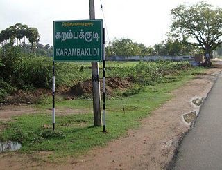
Karambakkudi is a panchayat town as well as Taluk in Pudukkottai district in the Indian state of Tamil Nadu. Karambakkudi is located about 40 km from Thanjavur and 40 km from Pudukkottai. This town is located on the border of the Thanjavur and Pudukkottai district in Tamil Nadu. The opinion of the people of this area is that this area should become an assembly constituency very soon, Here all higher secondary schools and Art's college is there.This area is covered by Delta Region.

Thiruthavathurai (Lalgudi) is a town in Tiruchirapalli district in the Indian state of Tamil Nadu. The town of Lalgudi heads the Lalgudi taluk, Lalgudi division, Lalgudi Educational District, Lalgudi DSP and Lalgudi Constituency.

Musiri is a municipality in the Tiruchirappalli district in the Indian state of Tamil Nadu. It has an average elevation of 82 metres (269 feet).

Nanjikottai is a panchayat town in Thanjavur district in the Indian state of Tamil Nadu. It is a part of the Thanjavur urban agglomeration.

Neelagiri Therku Thottam, commonly known as Neelagiri, is a panchayat town in the Thanjavur taluk of the Thanjavur district of the Indian state of Tamil Nadu. It is a part of the Thanjavur urban agglomeration.

Papanasam is a panchayat town in Thanjavur district in the Indian state of Tamil Nadu. It is located 25 kilometres (16 mi) from Thanjavur and 15 kilometres (9.3 mi) from Kumbakonam. The name literally translates to "Destruction of Sins" in the Tamil language. It is the suburban region of Kumbakonam.

Pullambadi is a Panchayat town in Tiruchirappalli district in the Indian state of Tamil Nadu. Pullambadi town panchayat heads the revenue block of Pullambadi in the taluk of Lalgudi.

R. Pudupatti is a panchayat town in Rasipuram taluk in Namakkal district in the Indian state of Tamil Nadu.
Sethiathoppu is a panchayat town in Bhuvanagiri, Tamil Nadu. It is situated on a crossroads of the Chennai–Thanjavur highway. The town was established as a civilian town by the Cholas in the 11th century C.E. According to Tamil scholars, Sethiathoppu was formed as a settlement when Chola king Rajendra I moved his capital from Thanjavur to Gangaikonda Cholapuram, which lies 20 km south.

Thedavur is a panchayat town in Salem district in the Indian state of Tamil Nadu.

Thirukattupalli is a panchayat town near Thiruvaiyaru in Thanjavur district in the Indian state of Tamil Nadu. The economy of this town is majorly based on the agricultural lands of the surrounding villages. Its nearby major cities include Thanjavur and Trichy. Modes of transportation to these cities include regular daily bus services and Budalur Railway Station. Sir P. S. Sivaswami Iyer Higher Secondary School located at the heart of this town serves as the alma-mater for nearly all locals.
Thiruppanandal is a panchayat town in Thanjavur district in the Indian state of Tamil Nadu.

Thirubuvanam is a panchayat town in Thanjavur district in the Indian state of Tamil Nadu. The place is known world over for its Kampaheswarar Temple.

Thiruvidaimarudur is a panchayat town in Thanjavur district, in the Indian state of Tamil Nadu. The town is notable for its Mahalingeshwarar Temple, a Hindu shrine for Lord Shiva.

Udayarpalayam is a panchayat town in the Ariyalur district of the Indian state of Tamil Nadu, near Jayankondam.

Valangaiman is a town Panchayat in the Valangaiman taluk of Thiruvarur district in the Indian state of Tamil Nadu. It is the headquarters of Valangaiman Taluk.

Pudupatti is a panchayat town in Virudhunagar district in the Indian state of Tamil Nadu.

W.Pudupatti is a panchayat town in Virudhunagar district, Tamil Nadu. It is under Srivilliputtur Assembly constituency and Tenkasi LokSabha constituency.


