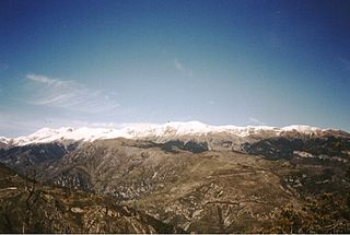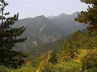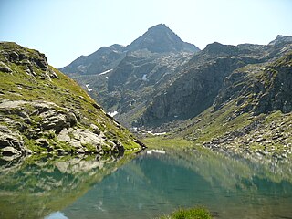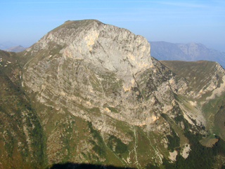
The Maritime Alps are a mountain range in the southwestern part of the Alps. They form the border between the French region of Provence-Alpes-Côte d'Azur and the Italian regions of Piedmont and Liguria. They are the southernmost part of the Alps.

The Ligurian Alps are a mountain range in northwestern Italy. A small part is located in France. They form the south-western extremity of the Alps, separated from the Apennines by the Colle di Cadibona. The Col de Tende and the Vermenagna valley separate them from the Maritime Alps. They form the border between Piedmont in the north and Liguria in the south.

Mont Bégo is a mountain in the Mercantour massif of the Maritime Alps, in southern France, with an elevation of 2,872 metres (9,423 ft). It is included in the Vallée des Merveilles.
Monte Colombin is a mountain in Liguria, northern Italy, part of the Alps. It is located in the provinces of province of Imperia in Italy and Alpes-Maritimes in France. It lies at an elevation of 1,088 meters.

Monte Granero is a peak in the Cottian Alps, in western Piedmont, northern Italy. It has an elevation of 3,170 m. It is located between the Val Pellice and the Valle Po, not far from the boundary with France.

Monte Saccarello (Italian) or Mont Saccarel (French) is a mountain located on the French-Italian border between Liguria, Piedmont and Provence-Alpes-Côte d'Azur.

The Punta Ramiere or Bric Froid is a mountain in the Cottian Alps belonging to the department of Hautes-Alpes (FR) and the province of Turin (IT). It's the highest peak of the long stretch of the Po/Rhone water divide starting from the Aiguille de Scolette (north) and ending with the Monviso group (south).

Cima di Pertegà (Italian) or Cime de la Pertègue (French) is a mountain located on the French-Italian border between Piemonte and Provence-Alpes-Côte d'Azur.

The Cime de Capoves (French) or Cima Capoves (Italian) is a mountain of the Ligurian Alps located in the French region of Provence-Alpes-Côte d'Azur, close to the French-Italian border.

The Punta Merciantaira or Grand Glaiza is a 3,293 metres high mountain of the Cottian Alps.

Monte Bertrand (Italian) or Mont Bertrand (French) is a mountain located on the French-Italian border between Piemonte and Provence-Alpes-Côte d'Azur.

The Cime de Mussun (French) or Cima Missun (Italian) is a mountain of the Ligurian Alps.

The Bric Costa Rossa is a mountain of the Ligurian Alps located in Piedmont.

The Cima della Fascia is a mountain of the Ligurian Alps located in Piedmont.

The Monte Mongioie is a mountain of the Ligurian Alps located in Piedmont.

The Monte Antoroto is a mountain of the Ligurian Alps located in Piedmont.

The Cima delle Saline is a mountain of the Ligurian Alps located in Piedmont.

The Punta Mirauda is a mountain of the Ligurian Alps located in Piedmont.

The Cima Cars is a mountain of the Ligurian Alps located in Piedmont.

The Monte Fantino is a mountain of the Ligurian Alps located in Piedmont.


