Quilamba Quiaxi

Last updated
Quilamba Quiaxi
Municipality
Bairro Popular.jpg
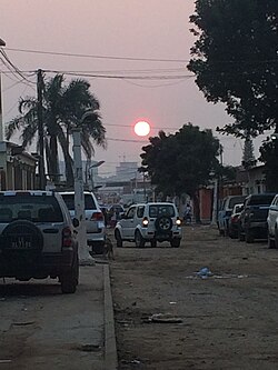
Sunset over a street in Quilamba Quiaxi
Angola adm location map.svg
Red pog.svg
Quilamba Quiaxi
Coordinates: 8°50′55″S13°16′30″E / 8.84861°S 13.27500°E / -8.84861; 13.27500
Country Angola
Province Luanda
Area
  Total
51.2 km2 (19.8 sq mi)
Population
 (2022)
  Total
1,120,781
  Density21,900/km2 (56,700/sq mi)
  [1]
Time zone UTC+1:00 (WAT)

Quilamba Quiaxi, also spelled as Kilamba Kiaxi, is a city and one of nine municipalities that make up the province of Luanda in Angola. [2] In the Kimbundu language the name means Land (Kiaxi) of Kilamba.

Contents

According to the population census of 2024, prepared by the National Institute of Statistics, it has a population of approximately 1,120,781 inhabitants and a territorial area of 51.5 km2. [3] [1]

Geography

It is limited to the west with the urban district of Maianga, to the north with the urban district of Rangel and the municipality of Cazenga, to the east the municipality of Viana and to the south with the municipality of Talatona. It is only the commune, which is subdivided into the urban districts of Golfe, Golfe II, Palanca, Vila Estoril and Sapú.

In 2011, due to administrative reform, it was classified as Luanda's urban district, but in 2016 it regained the status of municipality.

References

  1. 1 2 Schmitt, Aurelio. (3 February 2018). "Municípios de Angola: Censo 2014 e Estimativa de 2018". Revista Conexão Emancipacionista.[ better source needed ]
  2. "Bem-vindos to Kilamba Kiaxi, a Huge Uninhabited City in Angola Built with Chinese Money". FotoRoom. Retrieved 2020-04-10.
  3. Angola: municipalities Citypopulation