| RAF Kinnell | |||||||||
|---|---|---|---|---|---|---|---|---|---|
| Friockheim, Angus in Scotland | |||||||||
| Site information | |||||||||
| Type | Royal Air Force satellite station | ||||||||
| Code | KL [1] | ||||||||
| Owner | Air Ministry | ||||||||
| Operator | Royal Air Force | ||||||||
| Controlled by | RAF Fighter Command 1942-44 * No. 9 Group RAF * No. 81 (OTU) Group RAF RAF Flying Training Command 1944-45 RAF Maintenance Command 1945 | ||||||||
| Location | |||||||||
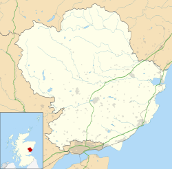 RAF Kinnell Shown within Angus  RAF Kinnell RAF Kinnell (the United Kingdom) | |||||||||
| Coordinates | 56°38′55″N002°38′14″W / 56.64861°N 2.63722°W | ||||||||
| Site history | |||||||||
| Built | 1941/42 | ||||||||
| In use | 1942-1945 | ||||||||
| Battles/wars | European theatre of World War II | ||||||||
| Airfield information | |||||||||
| Elevation | 46 metres (151 ft) [1] AMSL | ||||||||
| |||||||||
Royal Air Force Kinnell or more simply RAF Kinnell is a former Royal Air Force satellite station located near to Friockheim, Angus, Scotland.