References
Municipalities and communities of Hughes County, South Dakota, United States | ||
|---|---|---|
| Cities | 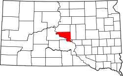 | |
| Town | ||
| Township | ||
| Indian reservation | ||
| CDP | ||
| Other communities | ||
| Footnotes | ‡This populated place also has portions in an adjacent county or counties | |
44°18′04″N99°50′03″W / 44.3011°N 99.8342°W
| | This Hughes County, South Dakota location article is a stub. You can help Wikipedia by expanding it. |