
Khagaria is a city in Indian state of Bihar and the administrative headquarters of Khagaria district. Khagaria is a part of Munger division. It is located at 25.5°N 86.48°E and has an average elevation of 36 metres (118 feet). The Khagaria Junction railway station serves the city.

Madipakkam is residential locality situated in south of Chennai, India. It has been recently placed under the Greater Chennai Corporation.

Bhogpur is a town and a nagar panchayat in Jalandhar district in the state of Punjab, India. Bhogpur is the first city from the overall india who created its own website on city name. Bhogpur sugar mill is first Co-operative sugar mill and still running successfully.

Birwadi is a census town in Raigad district in the state of Maharashtra, India.

Desur is a Town panchayat in Tiruvanamalai district in the Indian state of Tamil Nadu.
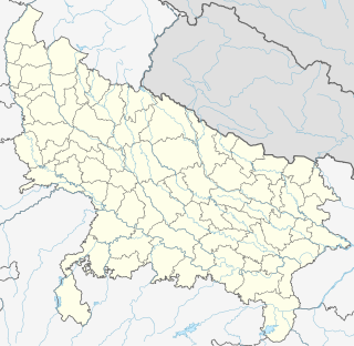
Dhampur is a city and a municipal board in Bijnor district in the state of Uttar Pradesh, India. It is located at 29.51°N 78.50°E, and lies in Northern India.
Dhanuha is a census town in Jaunpur district in the state of Uttar Pradesh, India.
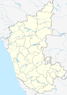
Herohalli is a census town in Bangalore district in the Indian state of Karnataka.

Injambakkam is a locality in the south of Chennai in the Indian state of Tamil Nadu. Being a part of the Walajabad block of the district, its panchayat is part of Walajabad panchayat union. Injambakkam is located along the ECR.
Kottivakkam is a locality in the south of Chennai in Chennai district in the Indian state of Tamil Nadu. Kottivakkam is included with the Chennai Corporation.

Manapakkam is a census town and part of the Chennai Metro city, in the Indian state of Tamil Nadu. Manapakkam is located along the Mount-Poonamallee Road in Chennai. It is now a home to many IT companies.

Naravarikuppam is a town in Thiruvallur district in the Indian state of Tamil Nadu.also called redhills
Padianallur is a census town in northern suburb of Chennai, Thiruvallur district in the Indian state Tamil Nadu.
Peerkankaranai is a neighborhood in Southern part of the metropolitan city of Chennai in the Indian state of Tamil Nadu.

Sahnewal is a city and a Municipal Council in Ludhiana district in the Indian state of Punjab. The town is situated on National Highway No. 44, between Khanna and Ludhiana.

Uttarahalli is a city and taluka of Bangalore in the Indian state of Karnataka
Vengathur is a census town in Thiruvallur district in the Indian state of Tamil Nadu.
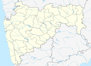
Rahata is a city and a municipal council in Ahmadnagar district in the Indian state of Maharashtra.

Fatehabad is a town and a municipal committee in Fatehabad district in the state of Haryana, India.
Kerur is a City in Bagalkot district in Karnataka, which located on NH 218. It has an average elevation of 617 meters (2024 feet). It's a birthplace of Jagadish Shettar, a former Chief Minister of Karnataka. Kerur is a Town Panchayat city in district of Bagalkot, Karnataka. The Kerur city is divided into 16 wards for which elections are held every five years. The Kerur Town Panchayat has population of 19,731 of which 9,929 are males while 9,802 are females as per report released by Census India 2011.


 India
India