Rato | |
|---|---|
Village | |
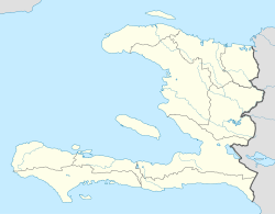 Rato Location in Haiti [1] | |
| Coordinates: 18°40′01″N71°55′05″W / 18.6669964°N 71.9180386°W | |
| Country | |
| Department | Ouest |
| Arrondissement | Croix-des-Bouquets |
| Elevation | 1,058 m (3,471 ft) |
Rato is a village in the Cornillon commune in the Croix-des-Bouquets Arrondissement, Ouest department of Haiti. [2]